

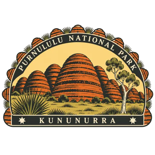
Purnululu National Park
A remote World Heritage park in the East Kimberley, about 300 kilometres south of Kununurra. It holds the Bungle Bungle Range, beehive-shaped domes of sandstone banded in orange and black that rise 250 metres above the savannah.
- Where
- Kununurra, Western Australia, Australia
- Grade
- UNESCO heritage
- Worth
- 10 points collected on site, plus 8 for its grade
- Coordinates
- -17.4488, 128.5461
Get the Purnululu National Park stamp
Open LOQAH when you are at Purnululu National Park. It checks where you are once, at that moment, and the stamp is yours: confirmed on site in gold and struck with the date. It goes into your Western Australia volume with your photos and a note.
Near Purnululu National Park
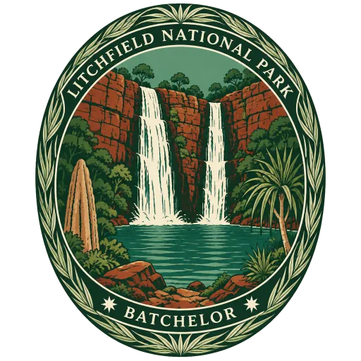
Litchfield National Park 527 km
About 1,500 square kilometres of bush near Batchelor, 100 kilometres south-west of Darwin, known for its waterfalls and swimming holes. Florence, Wangi and Tolmer Falls drop off the sandstone plateau, and fields of magnetic termite mounds stand aligned north to south.
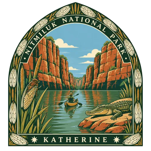
Nitmiluk National Park 542 km
A park around a series of gorges cut by the Katherine River, 23 kilometres north-east of the town of Katherine, with Edith Falls in its north. The Jawoyn people are its custodians, and in their language the name means place of the cicada dreaming.
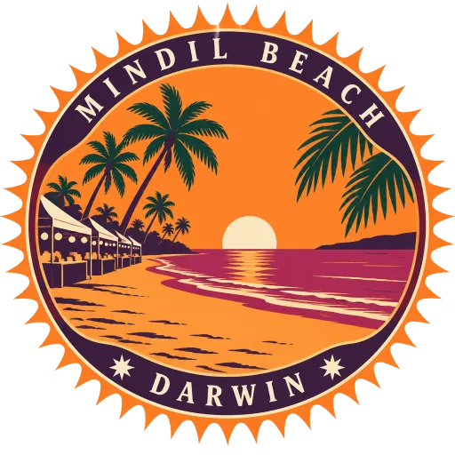
Mindil Beach 608 km
A beach close to Darwin's city centre, best known for the Sunset Markets held on dry season evenings. Thousands come for food stalls from across Asia and the rest of the world, and to watch the sun go down over the sea.
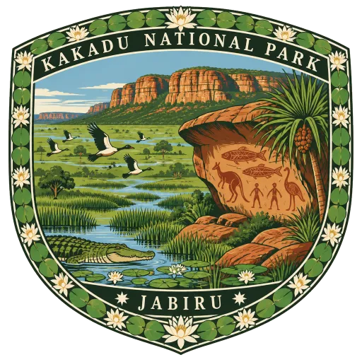
Kakadu National Park 652 km
A vast park 171 kilometres south-east of Darwin, listed as a World Heritage Site for both its wetlands and its Aboriginal rock art. Ubirr and Nourlangie hold paintings made over thousands of years, and the floodplains fill with birds and crocodiles.
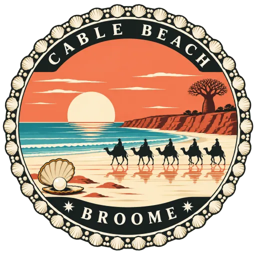
Cable Beach 674 km
Twenty-two kilometres of white sand on the Indian Ocean at Broome, named after the telegraph cable laid from here to Java in 1889. Low red ochre cliffs rise behind the wide, flat beach, and camel trains walk the shore at sunset.
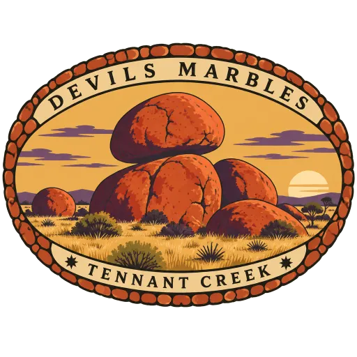
Devils Marbles 694 km
Fields of giant rounded granite boulders, many balanced on one another, about 105 kilometres south of Tennant Creek beside the Stuart Highway. The place is sacred to its Aboriginal traditional owners, and the boulders glow red at sunrise and sunset.
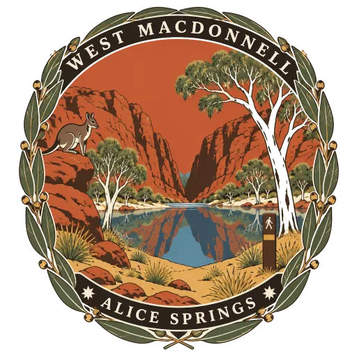
West MacDonnell National Park 778 km
A national park stretching west of Alice Springs along the MacDonnell Ranges, a chain of red ridges cut by gaps and gorges. Simpsons Gap, Ellery Creek Big Hole and Ormiston Gorge are all within it, and the Larapinta Trail runs its length.
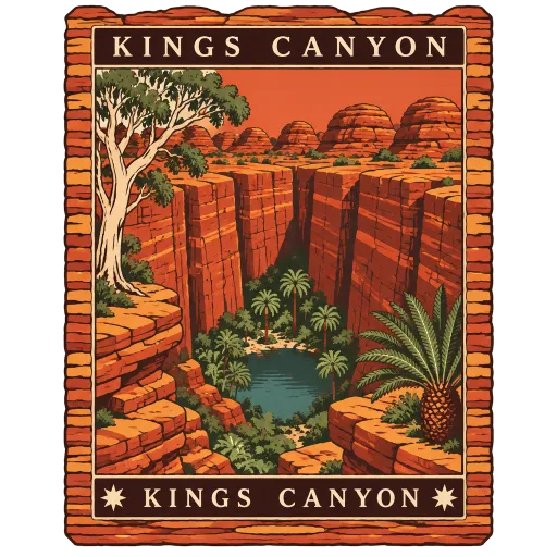
Kings Canyon 819 km
A sheer-walled canyon at the western end of the George Gill Range, about 321 kilometres south-west of Alice Springs, in Watarrka National Park. The rim walk climbs to the top of the red sandstone walls and passes the Garden of Eden, a waterhole sheltered by palms and ferns.
More UNESCO World Heritage sites in Western Australia
Questions
Where is Purnululu National Park?
Purnululu National Park is in Kununurra, Western Australia, Australia. The nearest other LOQAH stamps are Litchfield National Park (527 km), Nitmiluk National Park (542 km), Mindil Beach (608 km).
How do I get the Purnululu National Park stamp?
Open LOQAH when you are at Purnululu National Park and get its stamp. The app checks where you are once, at that moment, and the stamp goes into your Western Australia volume, confirmed on site, with the date.
I have been to Purnululu National Park before. Can I still have the stamp?
Yes. Add it from Earlier trips in your Western Australia volume, with the date if you know it, or import your Google Timeline and LOQAH matches the places you were.
Collect your first stamp.
LOQAH is free on iPhone and Android, in India and 20 more countries, with more countries on the way. Stand at a place, collect its stamp, and keep every trip in a passport that grows.