

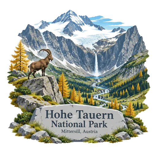
Hohe Tauern National Park
A national park stretching 100 kilometres along the Hohe Tauern mountain range, covering about 1,834 square kilometres. It is by far the largest national park in the Alps and includes the Grossglockner and the Pasterze glacier.
- Where
- Mittersill, Salzburg, Austria
- Grade
- Heritage site
- Worth
- 10 points collected on site, plus 3 for its grade
- Coordinates
- 47.1356, 12.3253
Get the Hohe Tauern National Park stamp
Open LOQAH when you are at Hohe Tauern National Park. It checks where you are once, at that moment, and the stamp is yours: confirmed on site in gold and struck with the date. It goes into your Salzburg volume with your photos and a note.
Near Hohe Tauern National Park
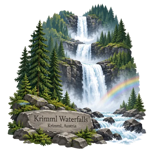
Krimml Waterfalls 14 km
The highest waterfall in Austria, with a total drop of 380 metres in three stages. The Krimmler Ache river tumbles down inside the High Tauern National Park in Salzburg state, and a trail runs alongside the falls.
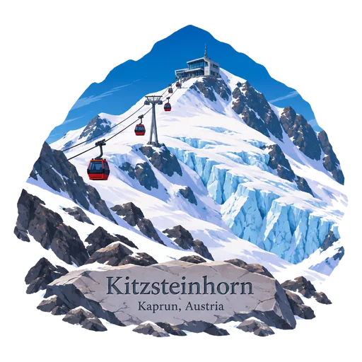
Kitzsteinhorn 28 km
A mountain of 3,203 metres in the High Tauern range above Kaprun, in the Glockner Group. A glacier ski area covers its slopes, and cable cars carry visitors to a viewing platform near the top.
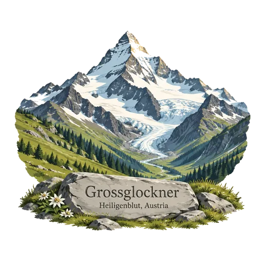
Grossglockner 29 km
At 3,798 metres, the highest mountain in Austria and the highest in the Alps east of the Brenner Pass. It stands on the border of Carinthia and East Tyrol, and the Pasterze glacier lies at its foot.
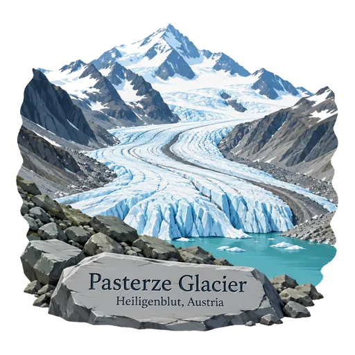
Pasterze Glacier 31 km
The longest glacier in Austria and in the Eastern Alps, about 8.4 kilometres long. It lies in the Glockner Group of the High Tauern in Carinthia, directly beneath Grossglockner, Austria's highest mountain.
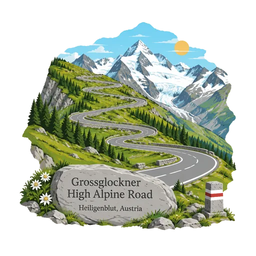
Grossglockner High Alpine Road 40 km
A scenic toll road that climbs from Bruck in Salzburg to Heiligenblut in Carinthia, passing the Hochtor at 2,504 metres. It opened in 1935 and offers views of the Grossglockner and the Pasterze glacier, with many hairpin bends.
Zillertal 41 km
A broad valley in Tyrol, drained by the Ziller river and reaching up to the glaciers of the Zillertal Alps. It has ski areas, a steam railway and the resort of Mayrhofen, and is known for folk music and cheese.
Lago di Braies 52 km
A natural lake at the head of the Prags valley in the Dolomites of South Tyrol, its green water set right under the cliffs of the Seekofel. Wooden rowing boats tie up at the boathouse, and a path loops all the way round the shore.
Achensee 57 km
The largest lake in Tyrol, north of Jenbach, sometimes called the Tyrolean Sea or the Fjord of the Alps. Steep wooded mountains surround its blue water, and steamers and a rack railway serve the shore.



Questions
Where is Hohe Tauern National Park?
Hohe Tauern National Park is in Mittersill, Salzburg, Austria. The nearest other LOQAH stamps are Krimml Waterfalls (14 km), Kitzsteinhorn (28 km), Grossglockner (29 km).
How do I get the Hohe Tauern National Park stamp?
Open LOQAH when you are at Hohe Tauern National Park and get its stamp. The app checks where you are once, at that moment, and the stamp goes into your Salzburg volume, confirmed on site, with the date.
I have been to Hohe Tauern National Park before. Can I still have the stamp?
Yes. Add it from Earlier trips in your Salzburg volume, with the date if you know it, or import your Google Timeline and LOQAH matches the places you were.
Collect your first stamp.
LOQAH is free on iPhone and Android, in India and 40 more countries, with more countries on the way. Stand at a place, collect its stamp, and keep every trip in a passport that grows.