

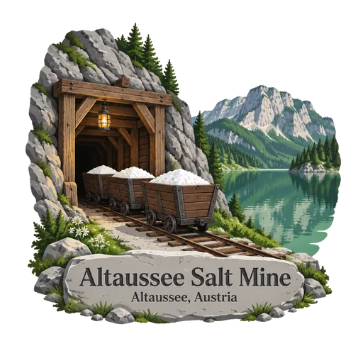
Altaussee Salt Mine
A working salt mine in the Styrian Salzkammergut that is open to visitors, who ride in on a miners' train and slide down wooden chutes. In the last months of the Second World War it hid thousands of artworks taken by the Nazis, later recovered by Allied troops.
- Where
- Altaussee, Styria, Austria
- Grade
- UNESCO heritage
- Worth
- 10 points collected on site, plus 8 for its grade
- Coordinates
- 47.6514, 13.7392
Get the Altaussee Salt Mine stamp
Open LOQAH when you are at Altaussee Salt Mine. It checks where you are once, at that moment, and the stamp is yours: confirmed on site in gold and struck with the date. It goes into your Styria volume with your photos and a note.
Near Altaussee Salt Mine
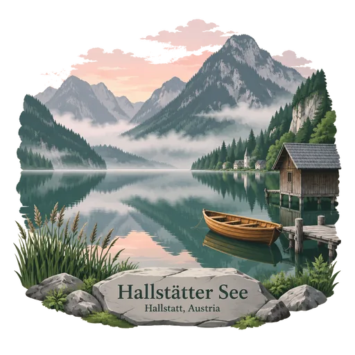
Hallstätter See 10 km
A lake in the Salzkammergut, lying below the town of Hallstatt, which has mined salt for thousands of years. Steep mountains rise from its shore and boats cross it between the villages.
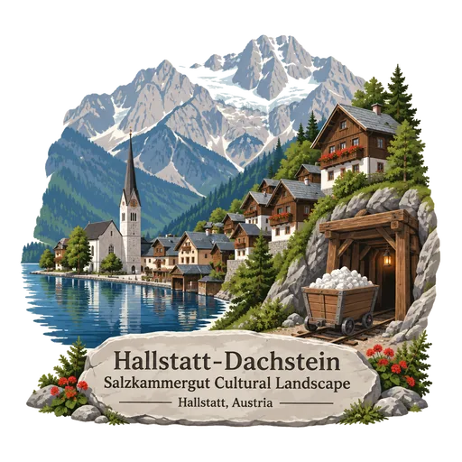
Hallstatt-Dachstein Salzkammergut Cultural Landscape 12 km
An Alpine landscape of lakes, mountains and old salt-mining settlements in the Salzkammergut, inscribed by UNESCO in 1997. Salt has been mined here since prehistoric times, and the town of Hallstatt sits on the shore of its lake beneath steep cliffs.
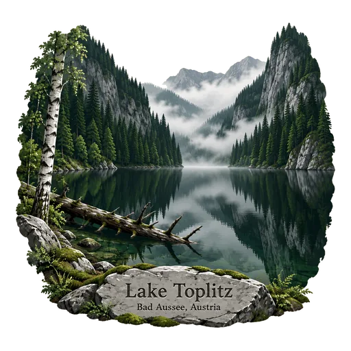
Lake Toplitz 14 km
A deep lake in a forested valley in the Styrian Salzkammergut, surrounded by steep cliffs and reached on foot or by a small electric boat. Legend says the Nazis sank treasure and forged banknotes in its waters in 1945, and divers have recovered crates from it.
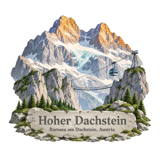
Hoher Dachstein 22 km
A karst massif of 2,995 metres on the border of Upper Austria and Styria, the highest peak in Upper Austria. Dachstein glaciers lie on its north face, and a cable car and a suspension bridge allow visitors to reach the high plateau.
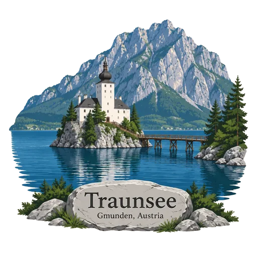
Traunsee 24 km
A lake in Upper Austria with a maximum depth of 191 metres, the deepest in the country. The town of Gmunden lies at its northern end, with the Schloss Ort castle on a small island, and the Traunstein mountain rises on the east shore.
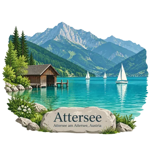
Attersee 28 km
The largest lake of the Salzkammergut, in Upper Austria at an elevation of 469 metres. Its clear water attracts swimmers, divers and sailors, and Gustav Klimt spent many summers on its shore, painting the lake and its villages.
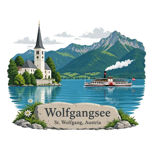
Wolfgangsee 28 km
A lake in the Salzkammergut shared between Salzburg and Upper Austria, with the villages of Sankt Wolfgang, Sankt Gilgen and Strobl on its shores. Sankt Wolfgang is known for its pilgrimage church and the White Horse Inn, and a cog railway climbs the Schafberg above it.
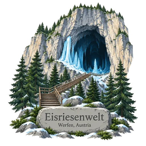
Eisriesenwelt 44 km
A natural limestone and ice cave inside the Hochkogel mountain at Werfen, about 40 kilometres south of Salzburg. It is often called the largest ice cave in the world, with a guided tour through its frozen passages.
More UNESCO World Heritage sites in Styria
Questions
Where is Altaussee Salt Mine?
Altaussee Salt Mine is in Altaussee, Styria, Austria. The nearest other LOQAH stamps are Hallstätter See (10 km), Hallstatt-Dachstein Salzkammergut Cultural Landscape (12 km), Lake Toplitz (14 km).
How do I get the Altaussee Salt Mine stamp?
Open LOQAH when you are at Altaussee Salt Mine and get its stamp. The app checks where you are once, at that moment, and the stamp goes into your Styria volume, confirmed on site, with the date.
I have been to Altaussee Salt Mine before. Can I still have the stamp?
Yes. Add it from Earlier trips in your Styria volume, with the date if you know it, or import your Google Timeline and LOQAH matches the places you were.
Collect your first stamp.
LOQAH is free on iPhone and Android, in India and 40 more countries, with more countries on the way. Stand at a place, collect its stamp, and keep every trip in a passport that grows.