

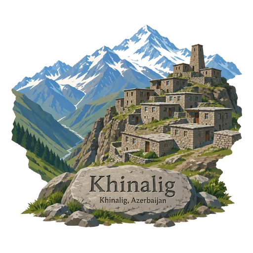
Khinalig
A remote village of stone houses at about 2,300 metres in the Greater Caucasus, home to the Khinalig people and their own language. The listing also covers the Kuch Yolu, the seasonal herding route used to move flocks between summer and winter pastures.
- Where
- Quba, Azerbaijan
- Grade
- UNESCO heritage
- Worth
- 10 points collected on site, plus 8 for its grade
- Coordinates
- 40.7059, 48.8854
Get the Khinalig stamp
Open LOQAH when you are at Khinalig. It checks where you are once, at that moment, and the stamp is yours: confirmed on site in gold and struck with the date. It goes into your Quba volume with your photos and a note.
Near Khinalig
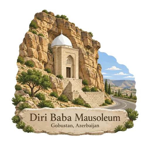
Diri Baba Mausoleum 20 km
The mausoleum of Sheikh Diri Baba, built into a rock cliff beside the road in the town of Gobustan. It dates to 1402, and the two storey stone building with its small domed rooms is still visited as a place of pilgrimage.
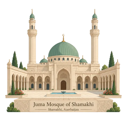
Juma Mosque of Shamakhi 22 km
A large mosque in the centre of Shamakhi, first built in the 8th century and one of the oldest in the Caucasus. It was rebuilt after earthquakes and wars, and the present building dates mainly from 1902.
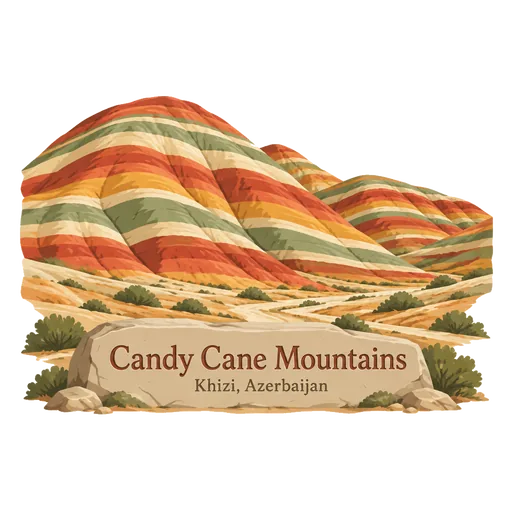
Candy Cane Mountains 32 km
Striped shale hills in the Khizi and Siyazan districts, part of the Greater Caucasus range. The bands of red, white and pink rock gave them their name, coined by the travel author Mark Elliott in his guidebook to Azerbaijan, and they are best seen in spring when the slopes turn green.
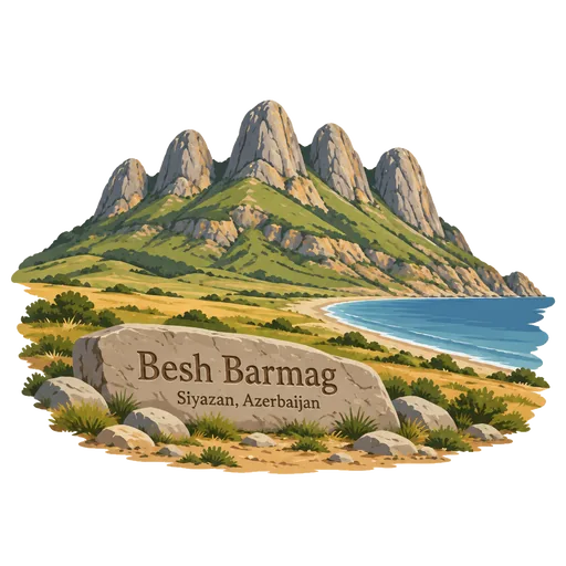
Besh Barmag 40 km
A mountain in Siyazan district, near the Caspian coast, whose name means five fingers. It rises 382 metres above sea level and is a sacred place that pilgrims visit regularly. The climb gives a wide view over the plain and the Baku to Quba highway.
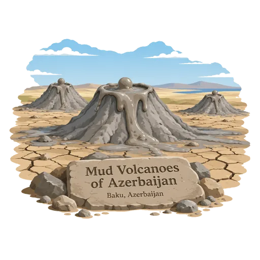
Mud Volcanoes of Azerbaijan 56 km
Azerbaijan has the greatest number of mud volcanoes in the world, mostly on the dry plains south of Baku. Small cones bubble with cold grey mud and gas, and the Gobustan area is the usual place to see them up close.
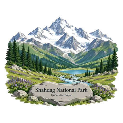
Shahdag National Park 58 km
A national park in the Greater Caucasus, set up on 8 December 2006 over 115,900 hectares across six districts including Quba, Qusar and Gabala. It covers forests, alpine meadows and high peaks, and a ski resort lies within the wider Shahdag area.
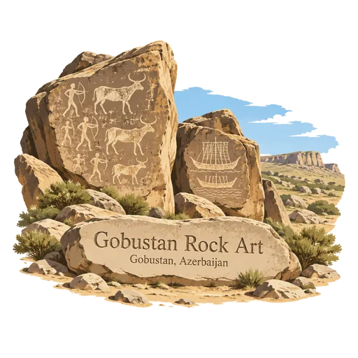
Gobustan Rock Art 77 km
A UNESCO listed landscape of petroglyphs on the boulders of the Gobustan plateau, showing hunters, animals, dancing figures and reed boats. The carvings span roughly 40,000 years, and a small museum at the entrance explains the main panels.
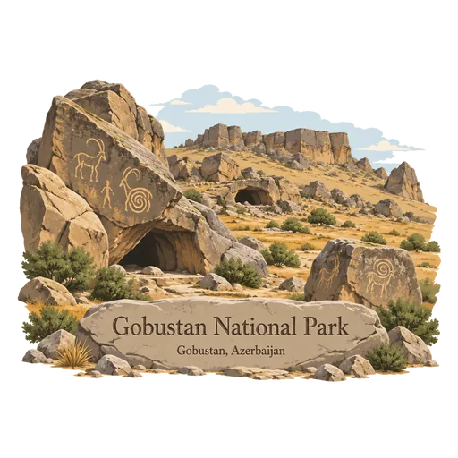
Gobustan National Park 79 km
A protected reserve of rocky hills about 70 kilometres southwest of Baku, holding more than 6,000 rock engravings made over several thousand years. It also has caves, ancient settlement sites and small mud volcanoes, and is a UNESCO World Heritage Site.
Questions
Where is Khinalig?
Khinalig is in Quba, Azerbaijan. The nearest other LOQAH stamps are Diri Baba Mausoleum (20 km), Juma Mosque of Shamakhi (22 km), Candy Cane Mountains (32 km).
How do I get the Khinalig stamp?
Open LOQAH when you are at Khinalig and get its stamp. The app checks where you are once, at that moment, and the stamp goes into your Quba volume, confirmed on site, with the date.
I have been to Khinalig before. Can I still have the stamp?
Yes. Add it from Earlier trips in your Quba volume, with the date if you know it, or import your Google Timeline and LOQAH matches the places you were.
Collect your first stamp.
LOQAH is free on iPhone and Android, in India and 40 more countries, with more countries on the way. Stand at a place, collect its stamp, and keep every trip in a passport that grows.