

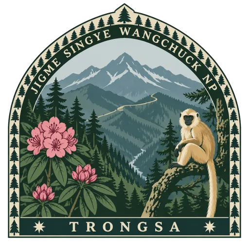
Jigme Singye Wangchuck National Park
A national park of 1,730 square kilometres in central Bhutan, protecting a large part of the Black Mountains, a sub range of the Himalaya. The road between Wangdue Phodrang and Trongsa crosses it at Pele La.
- Where
- Trongsa, Trongsa, Bhutan
- Grade
- Local gem
- Worth
- 10 points collected on site
- Coordinates
- 27.1667, 90.4333
Get the Jigme Singye Wangchuck National Park stamp
Open LOQAH when you are at Jigme Singye Wangchuck National Park. It checks where you are once, at that moment, and the stamp is yours: confirmed on site in gold and struck with the date. It goes into your Trongsa volume with your photos and a note.
Near Jigme Singye Wangchuck National Park
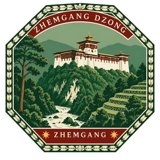
Zhemgang Dzong 23 km
The dzong of Zhemgang, set on a ridge above the town in the forested south of central Bhutan. It serves as the administrative and monastic centre of Zhemgang District, looking out over the deep valley of the Mangde Chhu.
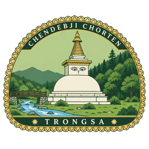
Chendebji Chorten 35 km
A large white stupa beside a stream, 41 kilometres west of Trongsa at 2,430 metres. It is built in the Nepali style, modelled on Swayambhunath in Kathmandu, with painted eyes looking out from its dome.
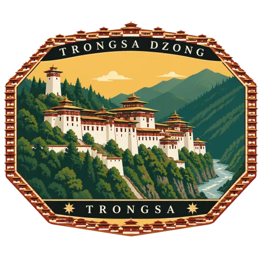
Trongsa Dzong 39 km
The largest dzong in Bhutan, spread along a spur above the gorge of the Mangde River in the centre of the country. A temple stood here from 1543, and Zhabdrung Ngawang Namgyal built the first dzong in 1647, enlarged again and again through the 18th century.
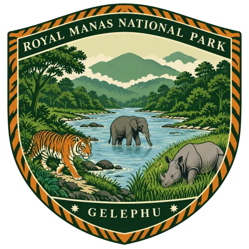
Royal Manas National Park 44 km
Bhutan's oldest national park, 1,057 square kilometres of forest across eastern Sarpang, western Zhemgang and western Pemagatshel. It runs down to the plains along the Manas river and adjoins Manas National Park in India, sharing its tigers, elephants and rhinos.
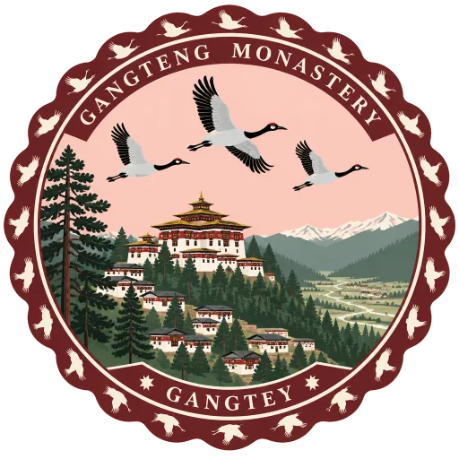
Gangteng Monastery 45 km
The main seat of the Pema Lingpa tradition of the Nyingma school, on a ridge above the Phobjikha Valley with Gangtey village around it. Its history runs back to the early 17th century, and the black-necked cranes are said to circle it three times on arrival each winter.
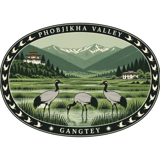
Phobjikha Valley 45 km
A vast U-shaped valley in central Bhutan, home to Gangteng Monastery. Black-necked cranes fly in from the Tibetan Plateau to roost here each winter, arriving in the last week of October and circling the monastery three times.
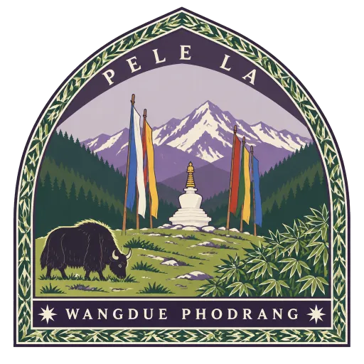
Pele La 48 km
A high motorable pass over the Black Mountains on the road from Wangdue Phodrang to Trongsa, the traditional divide between western and central Bhutan. Prayer flags flutter along the top, and yaks graze the slopes around it.
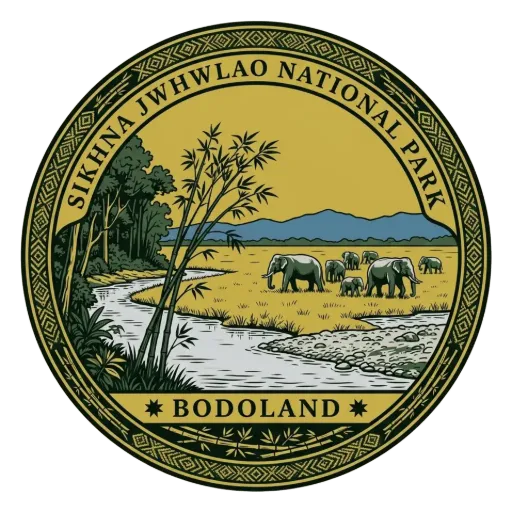
Sikhna Jwhwlao National Park 52 km
Three hundred square kilometres of the Manas country in Bodoland, made a national park.
More hidden gems in Trongsa
Questions
Where is Jigme Singye Wangchuck National Park?
Jigme Singye Wangchuck National Park is in Trongsa, Trongsa, Bhutan. The nearest other LOQAH stamps are Zhemgang Dzong (23 km), Chendebji Chorten (35 km), Trongsa Dzong (39 km).
How do I get the Jigme Singye Wangchuck National Park stamp?
Open LOQAH when you are at Jigme Singye Wangchuck National Park and get its stamp. The app checks where you are once, at that moment, and the stamp goes into your Trongsa volume, confirmed on site, with the date.
I have been to Jigme Singye Wangchuck National Park before. Can I still have the stamp?
Yes. Add it from Earlier trips in your Trongsa volume, with the date if you know it, or import your Google Timeline and LOQAH matches the places you were.
Collect your first stamp.
LOQAH is free on iPhone and Android, in India and 20 more countries, with more countries on the way. Stand at a place, collect its stamp, and keep every trip in a passport that grows.