

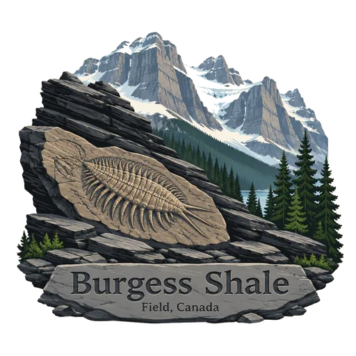
Burgess Shale
A fossil bed high in the Canadian Rockies, in Yoho and Kootenay national parks, found in 1909. It preserves soft bodied animals from about 508 million years ago, giving a rare picture of early life in the oceans.
- Where
- Field, British Columbia, Canada
- Grade
- UNESCO heritage
- Worth
- 10 points collected on site, plus 8 for its grade
- Coordinates
- 51.4333, -116.4670
Get the Burgess Shale stamp
Open LOQAH when you are at Burgess Shale. It checks where you are once, at that moment, and the stamp is yours: confirmed on site in gold and struck with the date. It goes into your British Columbia volume with your photos and a note.
Near Burgess Shale
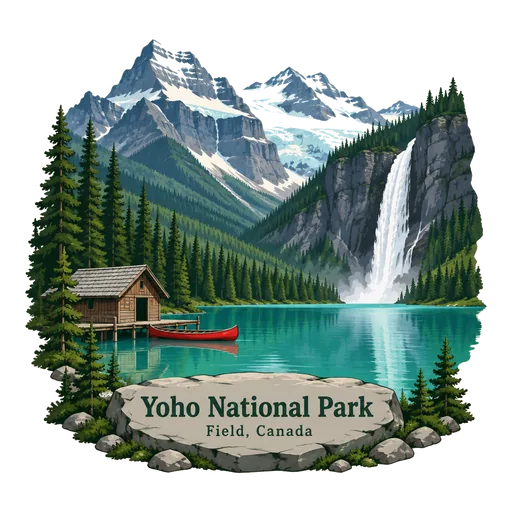
Yoho National Park 4.4 km
A national park in the Rocky Mountains on the western slope of the Continental Divide in southeastern British Columbia. It borders Kootenay and Banff National Parks and is known for its waterfalls, glaciers and Emerald Lake.
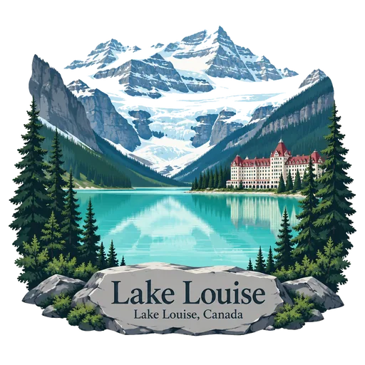
Lake Louise 17 km
A glacial lake in Banff National Park whose turquoise colour comes from rock flour carried in by meltwater. Victoria Glacier fills the far end, and the Fairmont Chateau Lake Louise stands on the shore.
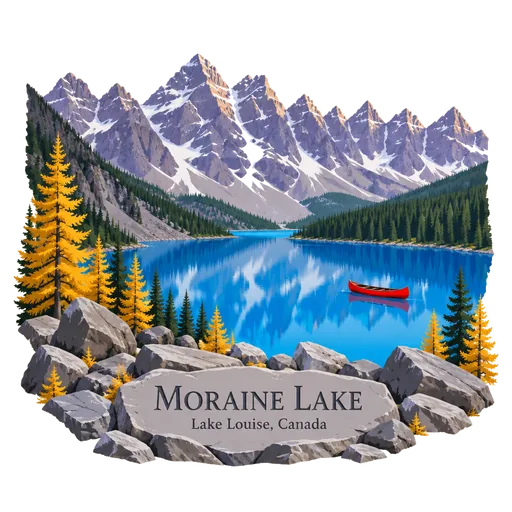
Moraine Lake 23 km
A glacier fed lake in the Valley of the Ten Peaks in Banff National Park, at about 1,885 metres. Its vivid blue water and the peaks behind it once appeared on the Canadian twenty dollar bill.
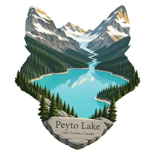
Peyto Lake 33 km
A glacier fed lake in Banff National Park, reached by a short walk to a viewing platform off the Icefields Parkway. Its fox like shape and bright turquoise colour make it one of the most photographed spots in the Rockies.
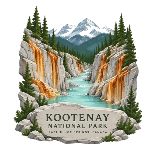
Kootenay National Park 68 km
A national park in southeastern British Columbia covering 1,406 square kilometres of the Canadian Rockies. It takes in parts of the Kootenay and Park ranges, the Kootenay River and the whole of the Vermilion River valley.
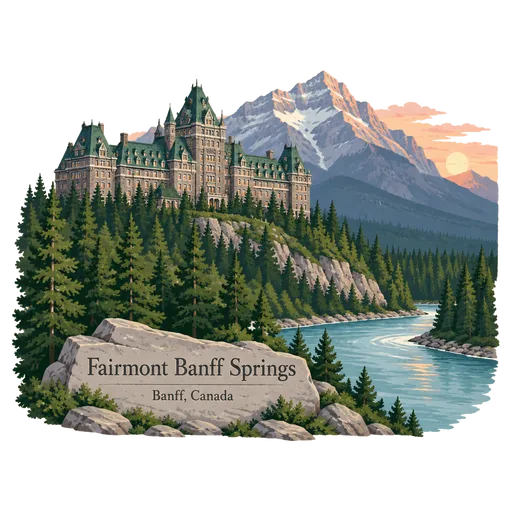
Fairmont Banff Springs 70 km
A historic hotel in Banff, Alberta, long known as the Banff Springs Hotel. It is a castle like building above the Bow River, and the whole town around it lies inside Banff National Park.
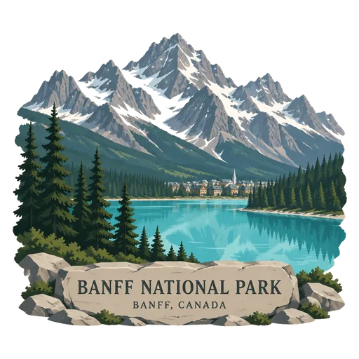
Banff National Park 70 km
Canada's first national park, established in 1885 as Rocky Mountains Park, in the Alberta Rockies west of Calgary. It covers 6,641 square kilometres of mountains, glaciers, forests and turquoise lakes, and the town of Banff sits inside its boundaries.
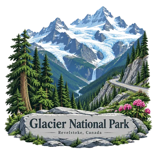
Glacier National Park 75 km
One of seven national parks in British Columbia, established in 1886. It covers 1,349 square kilometres of the Selkirk Mountains, including Rogers Pass, and holds glaciers, steep valleys and old growth forest.
More UNESCO World Heritage sites in British Columbia
Questions
Where is Burgess Shale?
Burgess Shale is in Field, British Columbia, Canada. The nearest other LOQAH stamps are Yoho National Park (4.4 km), Lake Louise (17 km), Moraine Lake (23 km).
How do I get the Burgess Shale stamp?
Open LOQAH when you are at Burgess Shale and get its stamp. The app checks where you are once, at that moment, and the stamp goes into your British Columbia volume, confirmed on site, with the date.
I have been to Burgess Shale before. Can I still have the stamp?
Yes. Add it from Earlier trips in your British Columbia volume, with the date if you know it, or import your Google Timeline and LOQAH matches the places you were.
Collect your first stamp.
LOQAH is free on iPhone and Android, in India and 40 more countries, with more countries on the way. Stand at a place, collect its stamp, and keep every trip in a passport that grows.