

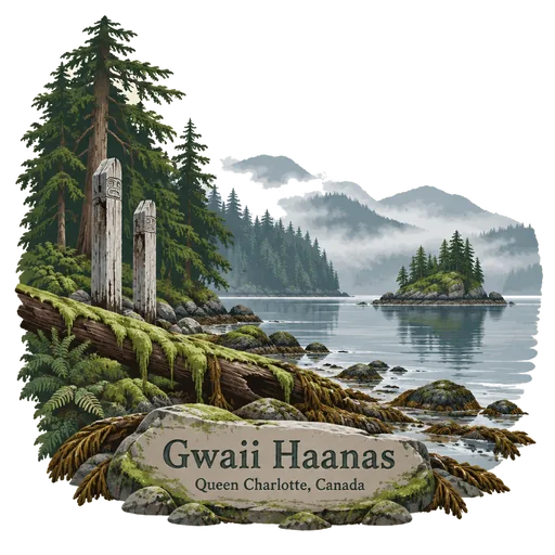
Gwaii Haanas
A national park reserve, marine conservation area and Haida Heritage Site in southern Haida Gwaii, 130 kilometres off the British Columbia mainland. It protects old growth forest, sea life and the remains of ancient Haida villages.
- Where
- Queen Charlotte, British Columbia, Canada
- Grade
- Heritage site
- Worth
- 10 points collected on site, plus 3 for its grade
- Coordinates
- 52.3892, -131.4710
Get the Gwaii Haanas stamp
Open LOQAH when you are at Gwaii Haanas. It checks where you are once, at that moment, and the stamp is yours: confirmed on site in gold and struck with the date. It goes into your British Columbia volume with your photos and a note.
Near Gwaii Haanas
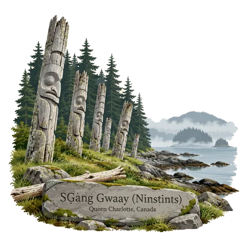
SG̱ang Gwaay (Ninstints) 37 km
The remains of a Haida village on a small island at the southern end of Haida Gwaii. Rows of weathered mortuary poles from the 19th century still stand among the trees, and the site is guarded by Haida Watchmen.
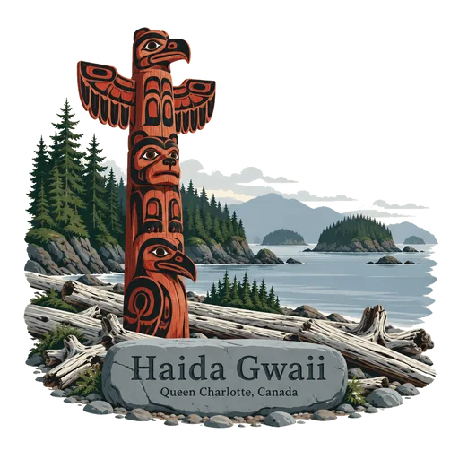
Haida Gwaii 77 km
An archipelago off the north coast of British Columbia, the homeland of the Haida people. It is known for old growth rainforest, tall carved poles, and Gwaii Haanas National Park Reserve in the south.
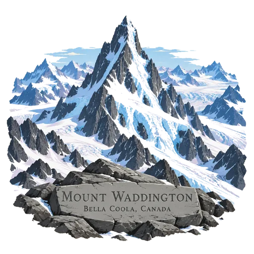
Mount Waddington 441 km
The highest peak lying wholly within British Columbia, at 4,019 metres in the Coast Mountains. It is a steep, glaciated mountain first climbed in 1936, and it draws mountaineers from around the world.
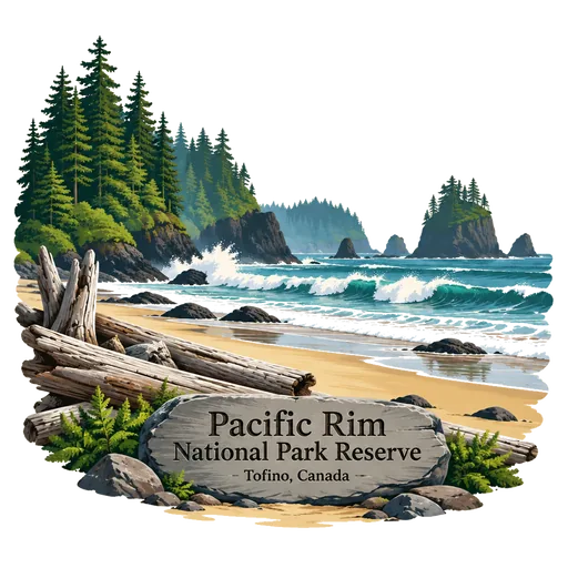
Pacific Rim National Park Reserve 557 km
A national park reserve of 511 square kilometres on the west coast of Vancouver Island, made up of three separate regions: Long Beach, the Broken Group Islands and the West Coast Trail. Surfers, kayakers and hikers come for its wild coast.
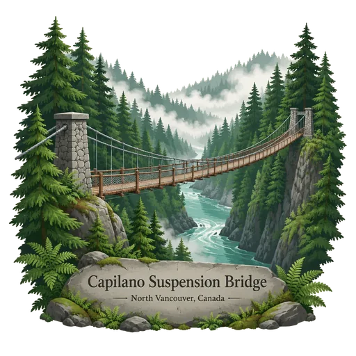
Capilano Suspension Bridge 677 km
A suspension bridge crossing the Capilano River in Upper Capilano, in the District of North Vancouver. The current bridge is 140 metres long and hangs 70 metres above the river, with a forest park and treetop walkways on the far side.
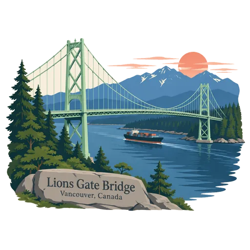
Lions Gate Bridge 677 km
A suspension bridge opened in 1938, officially known as the First Narrows Bridge. It crosses Burrard Inlet and links the city of Vancouver, by way of Stanley Park, to the North Shore municipalities of North Vancouver and West Vancouver.
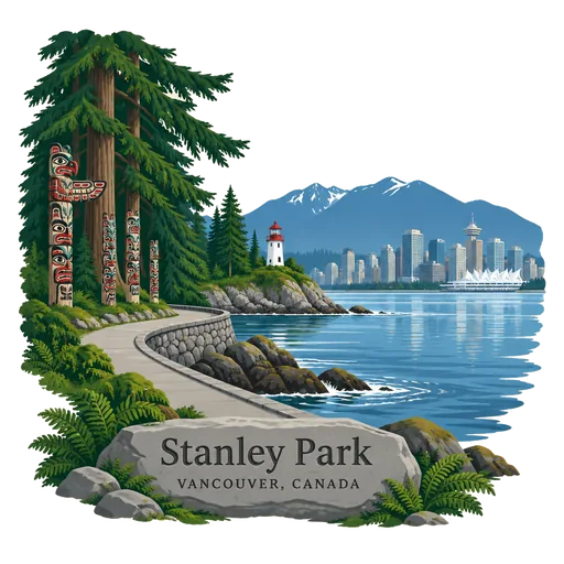
Stanley Park 678 km
A 405 hectare park on the tip of the Vancouver peninsula, ringed by a seawall path about 9 kilometres long. It holds old forest, beaches, the Vancouver Aquarium and a group of totem poles at Brockton Point.
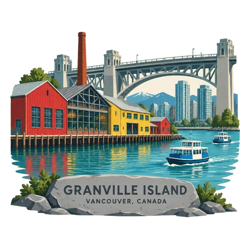
Granville Island 680 km
A peninsula and shopping district in Vancouver's Fairview neighbourhood, across False Creek from downtown and under the Granville Street Bridge. Once an industrial manufacturing area, it now holds a public market, studios, theatres and small galleries.
Questions
Where is Gwaii Haanas?
Gwaii Haanas is in Queen Charlotte, British Columbia, Canada. The nearest other LOQAH stamps are SG̱ang Gwaay (Ninstints) (37 km), Haida Gwaii (77 km), Mount Waddington (441 km).
How do I get the Gwaii Haanas stamp?
Open LOQAH when you are at Gwaii Haanas and get its stamp. The app checks where you are once, at that moment, and the stamp goes into your British Columbia volume, confirmed on site, with the date.
I have been to Gwaii Haanas before. Can I still have the stamp?
Yes. Add it from Earlier trips in your British Columbia volume, with the date if you know it, or import your Google Timeline and LOQAH matches the places you were.
Collect your first stamp.
LOQAH is free on iPhone and Android, in India and 40 more countries, with more countries on the way. Stand at a place, collect its stamp, and keep every trip in a passport that grows.