

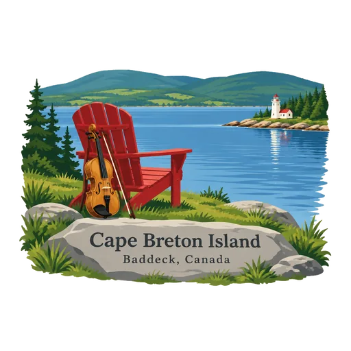
Cape Breton Island
The rugged northern island of Nova Scotia, joined to the mainland by a causeway. It holds the Cabot Trail and Cape Breton Highlands National Park, and Gaelic and Acadian music are still alive across the island.
- Where
- Baddeck, Nova Scotia, Canada
- Grade
- Well known
- Worth
- 10 points collected on site, plus 1 for its grade
- Coordinates
- 46.1867, -60.7708
Get the Cape Breton Island stamp
Open LOQAH when you are at Cape Breton Island. It checks where you are once, at that moment, and the stamp is yours: confirmed on site in gold and struck with the date. It goes into your Nova Scotia volume with your photos and a note.
Near Cape Breton Island
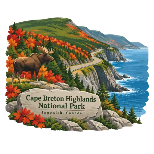
Cape Breton Highlands National Park 60 km
A national park on northern Cape Breton Island, covering 948 square kilometres. It was the first national park in the Atlantic provinces, and the Cabot Trail winds along its coastal cliffs and over its highland plateau.
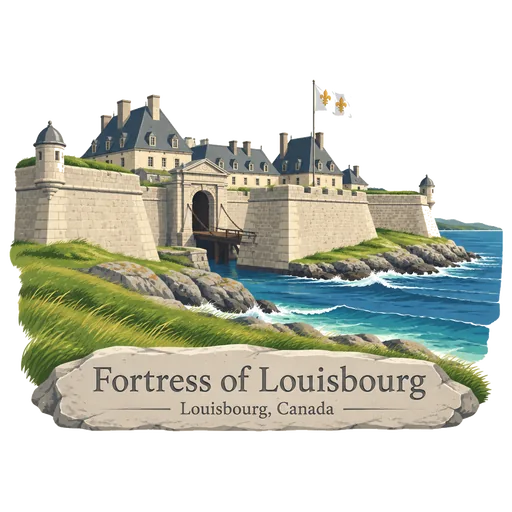
Fortress of Louisbourg 69 km
A National Historic Site on Cape Breton Island with a one quarter reconstruction of an 18th century French fortress. Its two sieges, especially that of 1758, were turning points in the struggle between France and Britain for North America.
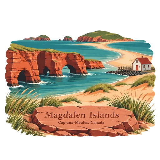
Magdalen Islands 159 km
An archipelago of sand dunes, red cliffs and beaches in the Gulf of St. Lawrence. Most of the islands are joined by sandbars, and the mostly French speaking population has a long tradition of lobster fishing.
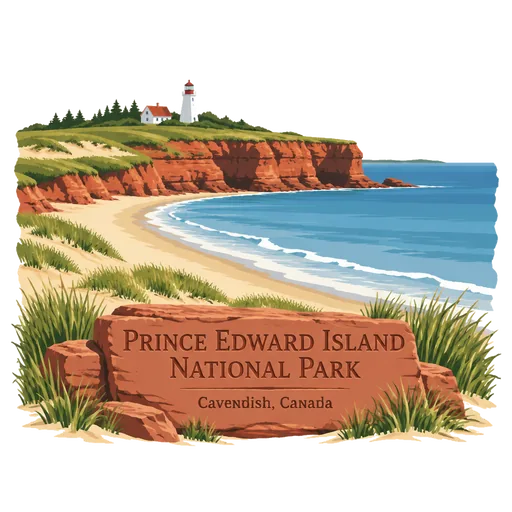
Prince Edward Island National Park 179 km
A national park along the island's north shore, fronting the Gulf of St. Lawrence. It stretches about 60 kilometres and takes in red sandstone cliffs, sand dunes, salt marsh and long beaches that are popular for summer swimming.
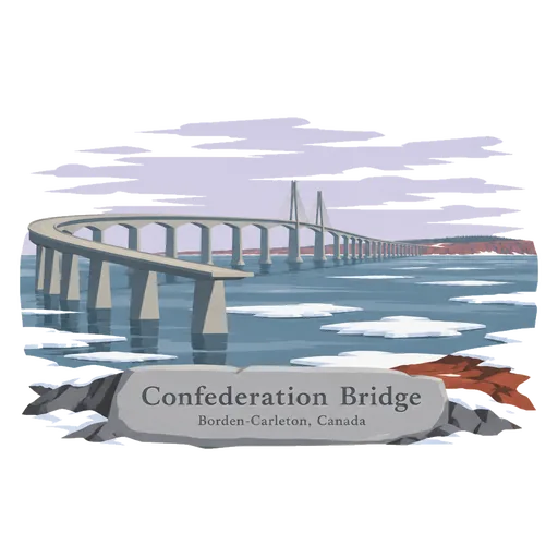
Confederation Bridge 231 km
A 12.9 kilometre bridge over Northumberland Strait linking Prince Edward Island to New Brunswick, opened in 1997. It is the longest bridge in the world over ice covered water. The crossing takes about ten minutes by car, and it replaced the ferry service that had linked the island for decades.
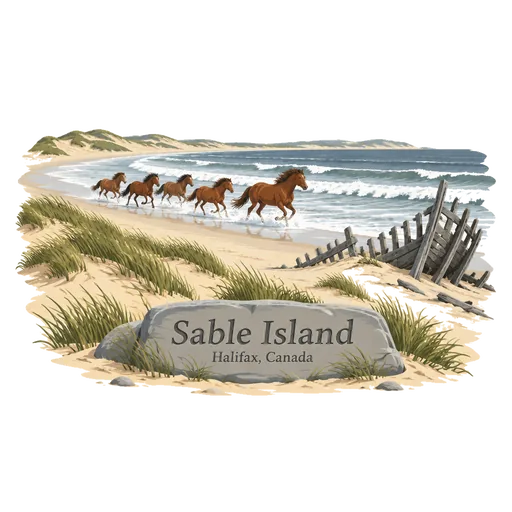
Sable Island 260 km
A thin crescent of sand dunes about 300 kilometres southeast of Halifax, in the Atlantic. It is famous for its wild horses and for the many shipwrecks along its shores, and it forms part of a national park reserve.
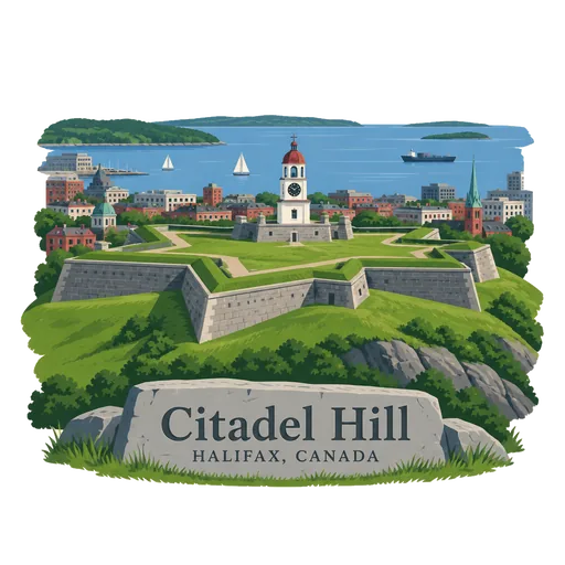
Citadel Hill 278 km
A National Historic Site in Halifax. Four fortifications called Fort George have stood on the hill since the British founded the city in 1749, though only the third was officially named so. The current star shaped fort looks over the harbour.
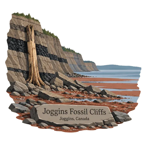
Joggins Fossil Cliffs 286 km
Sea cliffs along the Bay of Fundy that expose rocks and fossils from the Carboniferous coal age, about 310 million years ago. The fossils include upright tree trunks and some of the earliest known reptiles, and strong tides uncover new finds.
More famous places to visit in Nova Scotia
Questions
Where is Cape Breton Island?
Cape Breton Island is in Baddeck, Nova Scotia, Canada. The nearest other LOQAH stamps are Cape Breton Highlands National Park (60 km), Fortress of Louisbourg (69 km), Magdalen Islands (159 km).
How do I get the Cape Breton Island stamp?
Open LOQAH when you are at Cape Breton Island and get its stamp. The app checks where you are once, at that moment, and the stamp goes into your Nova Scotia volume, confirmed on site, with the date.
I have been to Cape Breton Island before. Can I still have the stamp?
Yes. Add it from Earlier trips in your Nova Scotia volume, with the date if you know it, or import your Google Timeline and LOQAH matches the places you were.
Collect your first stamp.
LOQAH is free on iPhone and Android, in India and 40 more countries, with more countries on the way. Stand at a place, collect its stamp, and keep every trip in a passport that grows.