

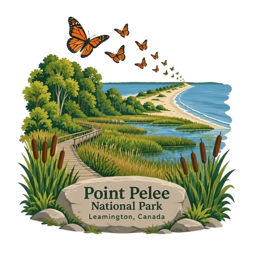
Point Pelee National Park
A national park in Essex County in southwestern Ontario, where a peninsula of marsh and woodland tapers into Lake Erie. Pelee is French for bald, and the tip is the southernmost point of mainland Canada.
- Where
- Leamington, Ontario, Canada
- Grade
- Heritage site
- Worth
- 10 points collected on site, plus 3 for its grade
- Coordinates
- 41.9667, -82.5167
Get the Point Pelee National Park stamp
Open LOQAH when you are at Point Pelee National Park. It checks where you are once, at that moment, and the stamp is yours: confirmed on site in gold and struck with the date. It goes into your Ontario volume with your photos and a note.
Near Point Pelee National Park
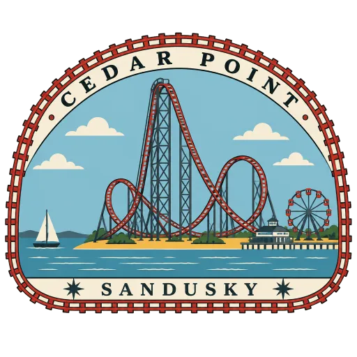
Cedar Point 56 km
An amusement park on a Lake Erie peninsula, open since 1870 and known as America's Roller Coast. Its 18 roller coasters tie it for the most of any park in North America, many of them rising along the lake shore.
Ambassador Bridge 60 km
A suspension bridge over the Detroit River joining Windsor, Ontario with Detroit. It opened in 1929 and carries a large share of the trade between Canada and the United States. Its main span between the two towers is 564 metres long, and the crossing is open to cars and trucks day and night.
New Vrindaban 275 km
An ISKCON community in the hills of West Virginia, founded in 1968 under the guidance of A.C. Bhaktivedanta Swami Prabhupada and named after Vrindavan in India. Its centrepieces are the Sri Sri Radha Vrindaban Chandra Temple and Prabhupada's Palace of Gold.
Sri Venkateswara Temple 283 km
A temple to Lord Venkateswara in Penn Hills, outside Pittsburgh, built in the style of the great temple at Tirupati. It is the oldest Hindu temple in the United States built by Indian immigrants, and draws pilgrims from across the Northeast and Midwest.
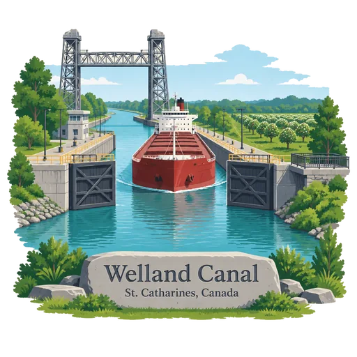
Welland Canal 303 km
A ship canal across the Niagara Peninsula that lets vessels bypass Niagara Falls between Lake Erie and Lake Ontario. Ships are lifted and lowered about 99 metres through eight locks, and a viewing platform at St. Catharines lets visitors watch them pass.
Niagara Falls 308 km
A group of three waterfalls at the southern end of Niagara Gorge, spanning the border between Ontario and New York State. The largest is Horseshoe Falls, which straddles the international boundary, and visitors watch it from the Canadian side or from boats at its foot.
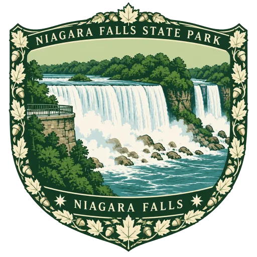
Niagara Falls State Park 308 km
Recognised as the oldest state park in the United States, it holds the American Falls, the Bridal Veil Falls and part of the Horseshoe Falls. Goat Island and Prospect Point give the closest views of the water from the American side.
American Falls 309 km
The second largest of the three falls at Niagara, and the only one lying entirely within the United States. Rather than dropping straight into the river, it crashes onto a slope of fallen boulders, and Prospect Point looks along its very edge.





Questions
Where is Point Pelee National Park?
Point Pelee National Park is in Leamington, Ontario, Canada. The nearest other LOQAH stamps are Cedar Point (56 km), Ambassador Bridge (60 km), New Vrindaban (275 km).
How do I get the Point Pelee National Park stamp?
Open LOQAH when you are at Point Pelee National Park and get its stamp. The app checks where you are once, at that moment, and the stamp goes into your Ontario volume, confirmed on site, with the date.
I have been to Point Pelee National Park before. Can I still have the stamp?
Yes. Add it from Earlier trips in your Ontario volume, with the date if you know it, or import your Google Timeline and LOQAH matches the places you were.
Collect your first stamp.
LOQAH is free on iPhone and Android, in India and 40 more countries, with more countries on the way. Stand at a place, collect its stamp, and keep every trip in a passport that grows.