

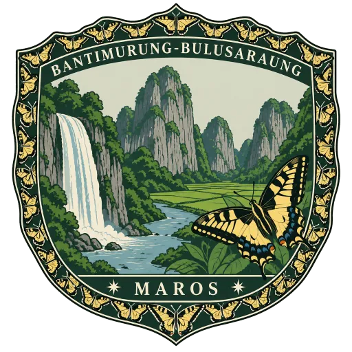
Bantimurung-Bulusaraung National Park
A national park of limestone hills in South Sulawesi, taking in the Rammang-Rammang karst, the second largest karst area known after that of southeastern China. Bantimurung, at its edge, is famous for its waterfall and its many butterflies.
- Where
- Maros, South Sulawesi, Indonesia
- Grade
- Local gem
- Worth
- 10 points collected on site
- Coordinates
- -4.9000, 119.7500
Get the Bantimurung-Bulusaraung National Park stamp
Open LOQAH when you are at Bantimurung-Bulusaraung National Park. It checks where you are once, at that moment, and the stamp is yours: confirmed on site in gold and struck with the date. It goes into your South Sulawesi volume with your photos and a note.
Near Bantimurung-Bulusaraung National Park
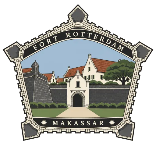
Fort Rotterdam 46 km
A 17th-century Dutch fort on the Makassar waterfront, rebuilt between 1673 and 1679 on the site of a Gowa fort first raised around 1634. It has five bastions and a seven metre rampart, and seen from above its outline is said to resemble a turtle.
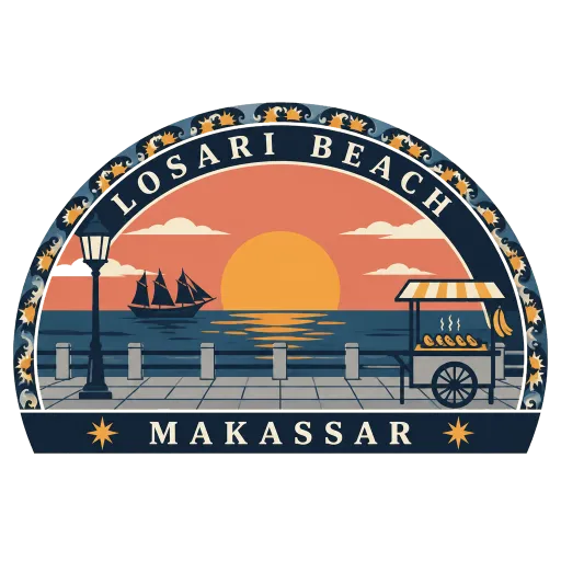
Losari Beach 47 km
The seafront promenade of Makassar, facing west over the Makassar Strait. People gather here for the sunset, and food stalls along the front sell pisang epe, grilled pressed banana with palm sugar.
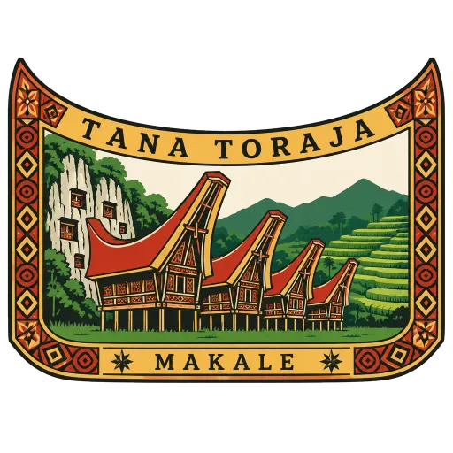
Tana Toraja 193 km
The highland home of the Toraja people in South Sulawesi, a landscape of rice terraces and villages of tongkonan, houses with great boat-shaped roofs. The Toraja are known for elaborate funeral ceremonies and for graves cut into limestone cliffs.
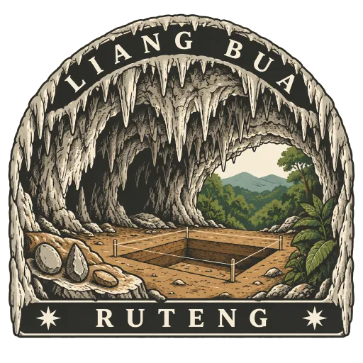
Liang Bua 412 km
A limestone cave just north of Ruteng in western Flores, first explored by the Dutch missionary and archaeologist Theodor Verhoeven. In 2003 it yielded the bones of Homo floresiensis, the small extinct human nicknamed the hobbit.
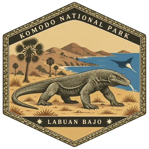
Komodo National Park 418 km
A national park of three large islands, Komodo, Padar and Rinca, and 26 smaller ones, founded in 1980 to protect the Komodo dragon, the world's largest lizard. It now guards the surrounding sea as well, and has been a World Heritage Site since 1991.
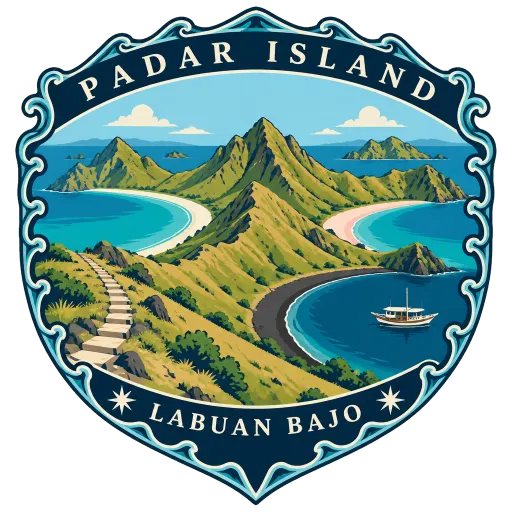
Padar Island 418 km
The third largest island in Komodo National Park, lying between Komodo and Rinca. A short, steep climb leads to a viewpoint over a ridge of bare hills and curving bays, with beaches of white, black and pink sand.
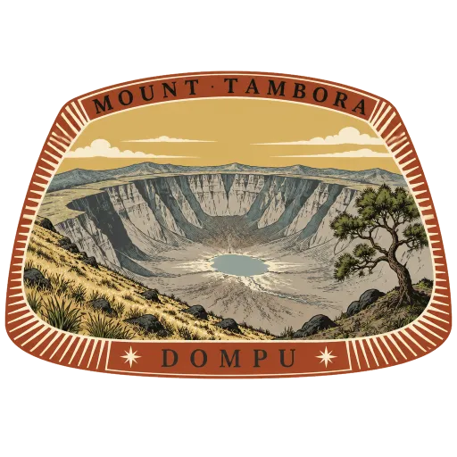
Mount Tambora 420 km
An active volcano on Sumbawa whose eruption in 1815 was the largest in recorded history. It left a vast caldera, and its effect on the climate made 1816 the Year Without a Summer far away in Europe and North America.
Rinca Island 422 km
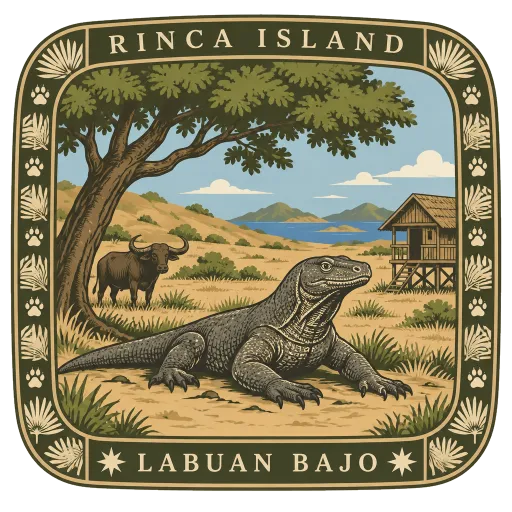
One of the three largest islands of Komodo National Park, close to Flores. Rangers lead walks through its dry hills to see Komodo dragons, which can reach 3 metres in length, along with wild pigs, buffalo and many birds.
More hidden gems in South Sulawesi
Questions
Where is Bantimurung-Bulusaraung National Park?
Bantimurung-Bulusaraung National Park is in Maros, South Sulawesi, Indonesia. The nearest other LOQAH stamps are Fort Rotterdam (46 km), Losari Beach (47 km), Tana Toraja (193 km).
How do I get the Bantimurung-Bulusaraung National Park stamp?
Open LOQAH when you are at Bantimurung-Bulusaraung National Park and get its stamp. The app checks where you are once, at that moment, and the stamp goes into your South Sulawesi volume, confirmed on site, with the date.
I have been to Bantimurung-Bulusaraung National Park before. Can I still have the stamp?
Yes. Add it from Earlier trips in your South Sulawesi volume, with the date if you know it, or import your Google Timeline and LOQAH matches the places you were.
Collect your first stamp.
LOQAH is free on iPhone and Android, in India and 20 more countries, with more countries on the way. Stand at a place, collect its stamp, and keep every trip in a passport that grows.