

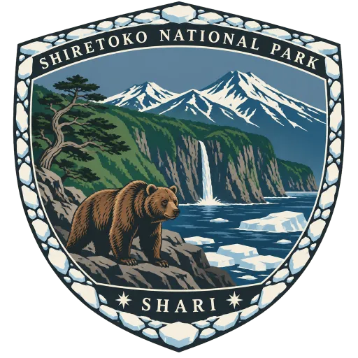
Shiretoko National Park
A national park covering most of the Shiretoko Peninsula at the northeastern tip of Hokkaido, and a World Heritage Site for its wild coast and forests. The name comes from the Ainu for the place where the earth protrudes; brown bears roam here, and drift ice reaches the shore in winter.
- Where
- Shari, Hokkaido, Japan
- Grade
- UNESCO heritage
- Worth
- 10 points collected on site, plus 8 for its grade
- Coordinates
- 44.1619, 145.2356
Get the Shiretoko National Park stamp
Open LOQAH when you are at Shiretoko National Park. It checks where you are once, at that moment, and the stamp is yours: confirmed on site in gold and struck with the date. It goes into your Hokkaido volume with your photos and a note.
Near Shiretoko National Park
Blue Pond 223 km
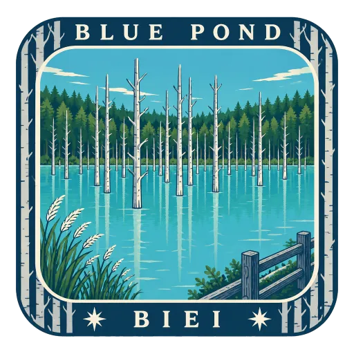
A man-made pond in Biei, the result of works on the Biei River after the 1988 eruption of Mount Tokachi. Colloidal aluminium hydroxide in the water is thought to give it its milky blue colour, broken by the bare trunks of dead trees standing in it.
Asahiyama Zoo 225 km
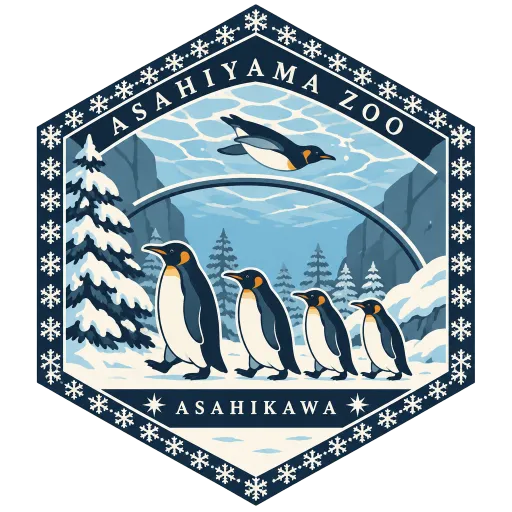
Japan's northernmost zoo, opened in 1967 on the outskirts of Asahikawa. It is known for enclosures that show animals from new angles, such as a glass tunnel through the penguin pool, and for its penguins' winter walks through the snow.
Farm Tomita 240 km
A flower farm in Nakafurano best known for its lavender fields, which turn purple in early summer. Long stripes of other flowers in bands of colour run down the hillside, with the Tokachi mountains on the horizon.
Sapporo Clock Tower 336 km
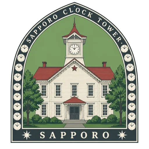
A white wooden building in central Sapporo, built in 1878 as the drill hall of the Sapporo Agricultural College. Its clock still strikes the hours, and it counts as the oldest clock tower in Japan.
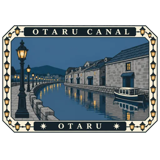
Otaru Canal 357 km
A canal in the port town of Otaru, lined with old stone warehouses from its years as a trading harbour. A walkway with gas lamps follows the water, and the warehouses now hold restaurants, breweries and glass shops.
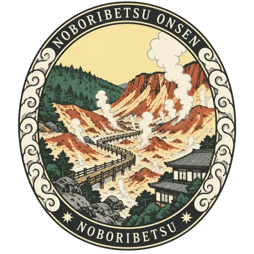
Noboribetsu Onsen 379 km
Hokkaido's best-known hot spring town, fed by sulphur, salt and other springs that rise in Jigokudani, a steaming volcanic valley just above the inns. Boardwalks lead through the valley, and the hotels below draw its water into their baths.
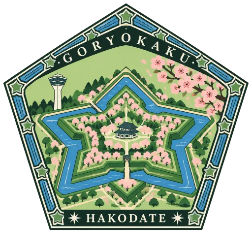
Goryokaku 449 km
A star-shaped fort in Hakodate completed in 1866, later the headquarters of the short-lived Republic of Ezo. Its moats and earthworks are now a park filled with cherry trees, and the tower beside it shows the full star from above.
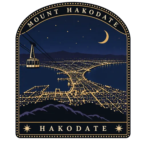
Mount Hakodate 455 km
An inactive volcano at the tip of Hakodate's peninsula, 334 metres high. A ropeway climbs to the top, where the night view takes in the city's lights pinched into a narrow waist between two bays.

Questions
Where is Shiretoko National Park?
Shiretoko National Park is in Shari, Hokkaido, Japan. The nearest other LOQAH stamps are Blue Pond (223 km), Asahiyama Zoo (225 km), Farm Tomita (240 km).
How do I get the Shiretoko National Park stamp?
Open LOQAH when you are at Shiretoko National Park and get its stamp. The app checks where you are once, at that moment, and the stamp goes into your Hokkaido volume, confirmed on site, with the date.
I have been to Shiretoko National Park before. Can I still have the stamp?
Yes. Add it from Earlier trips in your Hokkaido volume, with the date if you know it, or import your Google Timeline and LOQAH matches the places you were.
Collect your first stamp.
LOQAH is free on iPhone and Android, in India and 20 more countries, with more countries on the way. Stand at a place, collect its stamp, and keep every trip in a passport that grows.