

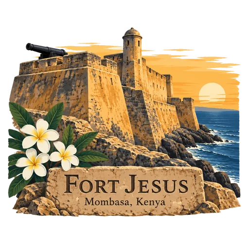
Fort Jesus
A Portuguese fort on Mombasa Island, designed by the Italian architect Giovanni Battista Cairati and built between 1593 and 1596 to guard the harbour. It changed hands many times over the centuries and is now a museum and UNESCO World Heritage Site.
- Where
- Mombasa, Kenya
- Grade
- UNESCO heritage
- Worth
- 10 points collected on site, plus 8 for its grade
- Coordinates
- -4.0712, 39.6821
Get the Fort Jesus stamp
Open LOQAH when you are at Fort Jesus. It checks where you are once, at that moment, and the stamp is yours: confirmed on site in gold and struck with the date. It goes into your Mombasa volume with your photos and a note.
Near Fort Jesus
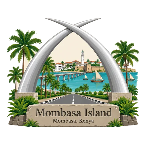
Mombasa Island 2.9 km
A coral island, about 5 kilometres by 3, joined to the mainland by a causeway and bridges. It holds Mombasa's Old Town, Fort Jesus and the port at Kilindini Harbour. Narrow streets of old Swahili and Arab houses, Portuguese-era walls and busy markets fill the older part of the island.
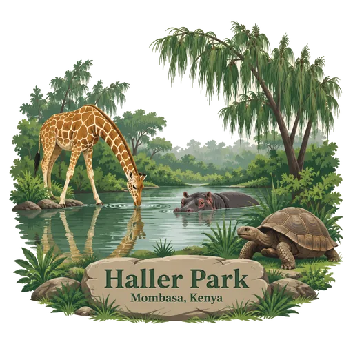
Haller Park 7.3 km
A nature park in Bamburi, north of Mombasa, made from an old cement quarry that was replanted with trees. Giraffes, hippos, crocodiles and tortoises now live among its ponds and woodland. Founded by the Swiss ecologist Rene Haller, it shows how damaged land can be brought back to life.
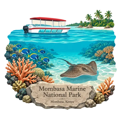
Mombasa Marine National Park 11 km
A marine park and national reserve off Mombasa on the Indian Ocean coast of Kenya. The park covers 10 square kilometres and the surrounding reserve covers 200 square kilometres of reef and sea.
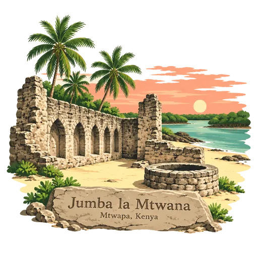
Jumba la Mtwana 16 km
A ruined Swahili town on the Indian Ocean coast, close to Mtwapa Creek in Kilifi County, north of Mombasa. It dates back to the fourteenth century, and its remains include a mosque and other historic buildings.
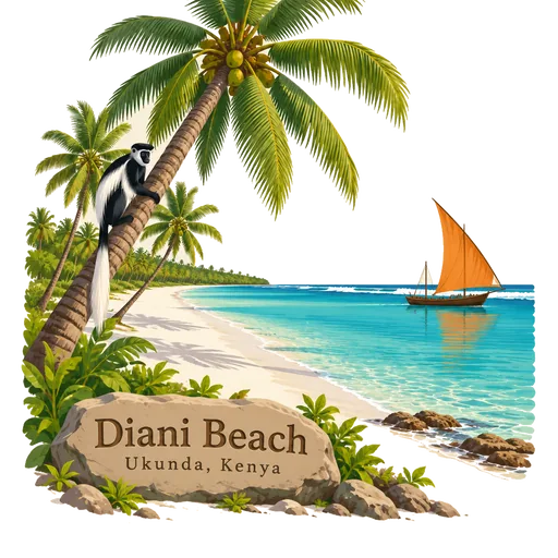
Diani Beach 30 km
A long beach of white sand on the Indian Ocean, about 30 kilometres south of Mombasa. Coral reef lies offshore, and colobus monkeys live in the forest patches behind the sand. It is one of the most popular beach destinations in the country, with resorts and dive centres along the shore.
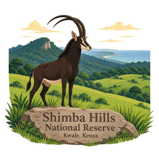
Shimba Hills National Reserve 39 km
A small national reserve of coastal rainforest, woodland and grassland, 33 kilometres from Mombasa and 15 kilometres from the sea. It lies in the former Coast Province and is an important area for wildlife.
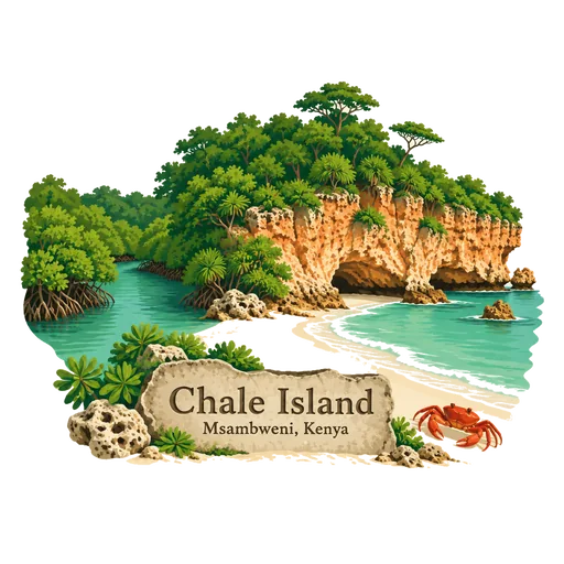
Chale Island 45 km
A forested headland at the northern end of Msambweni Bay, once a true island. Coral cliffs, sandy coves and a mangrove-lined creek surround it, and it is a quiet stretch of the south coast.
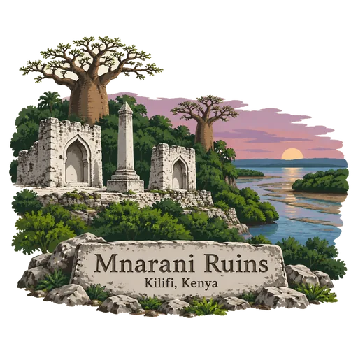
Mnarani Ruins 51 km
The remains of two mosques near Mnarani in Kilifi County, dating from the fifteenth century. They stand on a ridge above Kilifi Creek and belong to the old Swahili settlements of the Kenyan coast.
Questions
Where is Fort Jesus?
Fort Jesus is in Mombasa, Kenya. The nearest other LOQAH stamps are Mombasa Island (2.9 km), Haller Park (7.3 km), Mombasa Marine National Park (11 km).
How do I get the Fort Jesus stamp?
Open LOQAH when you are at Fort Jesus and get its stamp. The app checks where you are once, at that moment, and the stamp goes into your Mombasa volume, confirmed on site, with the date.
I have been to Fort Jesus before. Can I still have the stamp?
Yes. Add it from Earlier trips in your Mombasa volume, with the date if you know it, or import your Google Timeline and LOQAH matches the places you were.
Collect your first stamp.
LOQAH is free on iPhone and Android, in India and 40 more countries, with more countries on the way. Stand at a place, collect its stamp, and keep every trip in a passport that grows.