

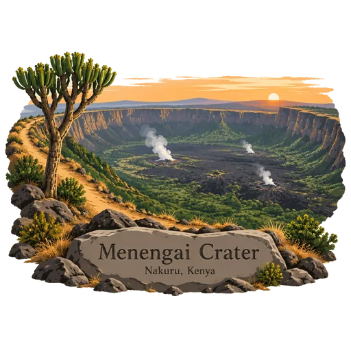
Menengai Crater
A huge volcanic caldera north of Nakuru, one of the largest in the world. A rim trail looks down on the crater floor, which holds old lava flows and forest. The caldera floor is about 12 kilometres across and has steam vents that are now used for geothermal power.
- Where
- Nakuru, Kenya
- Grade
- Local gem
- Worth
- 10 points collected on site
- Coordinates
- -0.2000, 36.0667
Get the Menengai Crater stamp
Open LOQAH when you are at Menengai Crater. It checks where you are once, at that moment, and the stamp is yours: confirmed on site in gold and struck with the date. It goes into your Nakuru volume with your photos and a note.
Near Menengai Crater
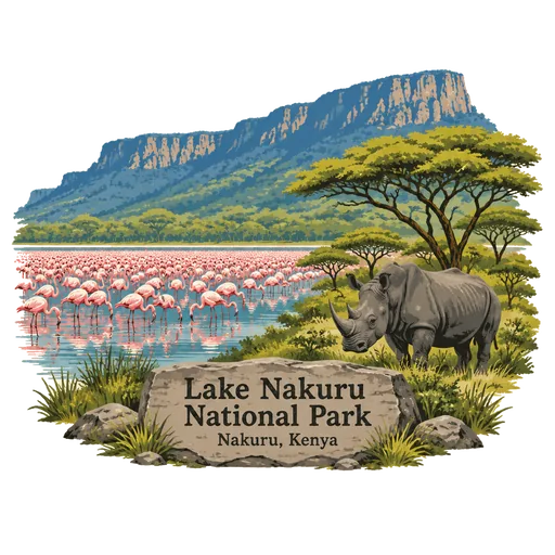
Lake Nakuru National Park 19 km
A shallow soda lake in the Rift Valley at 1,754 metres, surrounded by a national park. It is known for flamingos that gather on the water and for rhinos in the park's woodland and grassland.
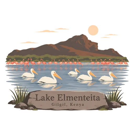
Lake Elmenteita 34 km
A soda lake in the Rift Valley, about 120 kilometres northwest of Nairobi. Flamingos and pelicans gather on its shallow water, and it is part of the UNESCO listed Kenya Lake System.
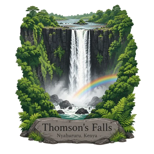
Thomson's Falls 43 km
A 74 metre waterfall on the Ewaso Ng'iro River, close to the town of Nyahururu. It is named after the explorer Joseph Thomson, and a path leads down to the base of the drop.
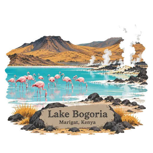
Lake Bogoria 50 km
A saline, alkaline lake in the Rift Valley, south of Lake Baringo. Hot springs and geysers steam along its shore, and large flocks of flamingos feed in the water. Its shore is lined with steaming vents, and it is a Ramsar site and part of the UNESCO listed Kenya Lake System.
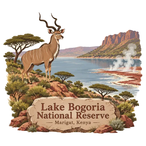
Lake Bogoria National Reserve 50 km
A reserve in the Great Rift Valley that covers Lake Bogoria and the land right around it. It is run by the Kenya Wildlife Service, and the lake is known for its hot springs and geysers.
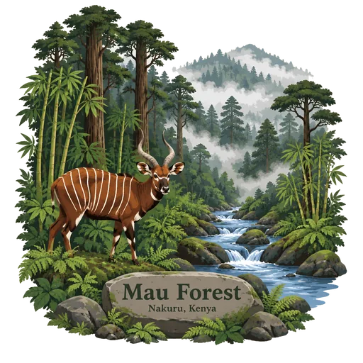
Mau Forest 59 km
The largest indigenous montane forest in East Africa, in the Rift Valley, covering more than 270,000 hectares. Many of Kenya's rivers rise here, flowing towards Lake Victoria and the Rift Valley lakes.
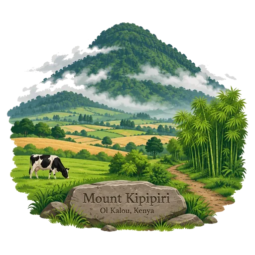
Mount Kipipiri 59 km
An isolated volcano in the Wanjohi Valley, about 32 kilometres northeast of Lake Naivasha. Its forested slopes and cool air make it a quiet walking area on the Kinangop Plateau. Walkers can climb to the summit through bamboo and forest, and the surrounding farmland is green for most of the year.
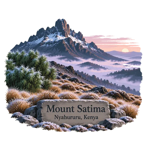
Mount Satima 63 km
The highest peak of the Aberdare Range and the third highest mountain in Kenya, at about 4,000 metres. Hikers climb through bamboo and moorland to a rocky summit with wide views. Nights on the high ground are cold, and frost is common.
More hidden gems in Nakuru
Questions
Where is Menengai Crater?
Menengai Crater is in Nakuru, Kenya. The nearest other LOQAH stamps are Lake Nakuru National Park (19 km), Lake Elmenteita (34 km), Thomson's Falls (43 km).
How do I get the Menengai Crater stamp?
Open LOQAH when you are at Menengai Crater and get its stamp. The app checks where you are once, at that moment, and the stamp goes into your Nakuru volume, confirmed on site, with the date.
I have been to Menengai Crater before. Can I still have the stamp?
Yes. Add it from Earlier trips in your Nakuru volume, with the date if you know it, or import your Google Timeline and LOQAH matches the places you were.
Collect your first stamp.
LOQAH is free on iPhone and Android, in India and 40 more countries, with more countries on the way. Stand at a place, collect its stamp, and keep every trip in a passport that grows.