

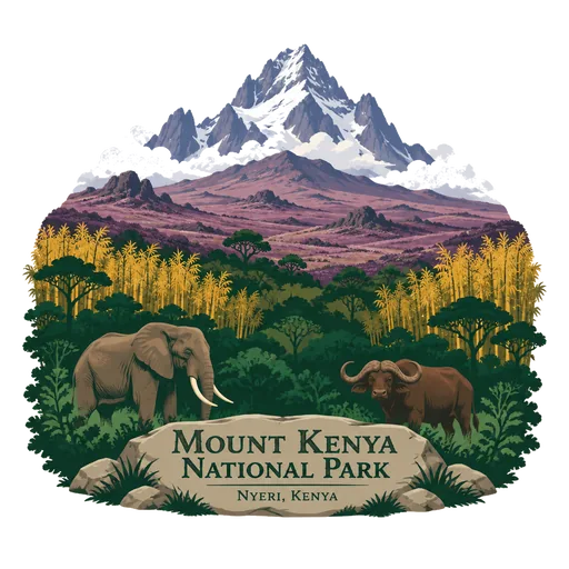
Mount Kenya National Park
A national park established in 1949 around Mount Kenya to protect the slopes, moorland and forest of the mountain. It is a UNESCO World Heritage Site, with glaciers near the summit and elephants and buffalo in the lower forest.
- Where
- Nyeri, Kenya
- Grade
- UNESCO heritage
- Worth
- 10 points collected on site, plus 8 for its grade
- Coordinates
- -0.1239, 37.3367
Get the Mount Kenya National Park stamp
Open LOQAH when you are at Mount Kenya National Park. It checks where you are once, at that moment, and the stamp is yours: confirmed on site in gold and struck with the date. It goes into your Nyeri volume with your photos and a note.
Near Mount Kenya National Park
Mount Kenya 15 km
The second highest mountain in Africa, an extinct volcano just south of the equator. Its jagged peaks Batian and Nelion rise above 5,100 metres, and small glaciers still cling to the upper slopes.
Lewa Wildlife Conservancy 37 km
A wildlife sanctuary in northern Kenya, formed in 1995. Together with the adjacent Ngare Ndare Forest it covers more than 250 square kilometres and is home to a wide range of wildlife.
Ol Pejeta Conservancy 40 km
A not for profit wildlife conservancy of 360 square kilometres in Laikipia County, on the equator west of Nanyuki. It lies between the foothills of the Aberdares and Mount Kenya and works to protect wildlife, including rhinos.
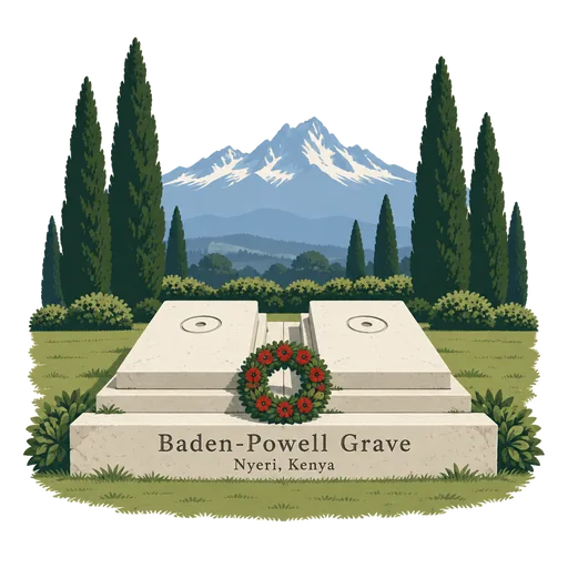
Baden-Powell Grave 54 km
The graves of Robert Baden-Powell, founder of the Scout movement, and his wife Olave, in the cemetery at Nyeri. He spent his last years nearby and died in 1941, and the site is a National Monument of Kenya.
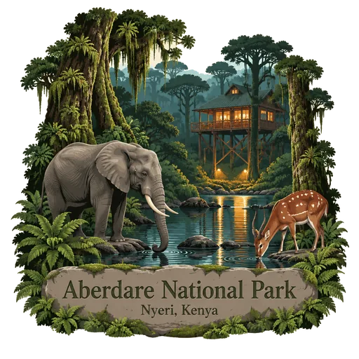
Aberdare National Park 76 km
A protected area in the Aberdare Mountain Range of central Kenya, east of the Great Rift Valley. It covers the higher parts of the range and the Aberdare Salient to the east, with moorland and forest.
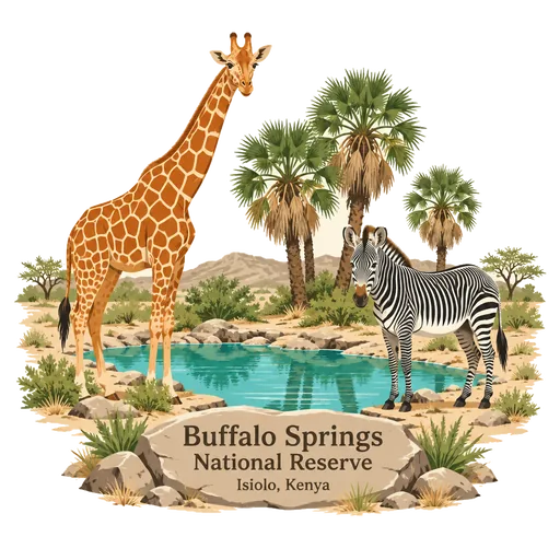
Buffalo Springs National Reserve 80 km
A protected area in Isiolo County in northern Kenya, lying beside the Samburu National Reserve. It is part of a group of three neighbouring reserves in dry country along the Ewaso Ng'iro river.
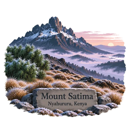
Mount Satima 84 km
The highest peak of the Aberdare Range and the third highest mountain in Kenya, at about 4,000 metres. Hikers climb through bamboo and moorland to a rocky summit with wide views. Nights on the high ground are cold, and frost is common.
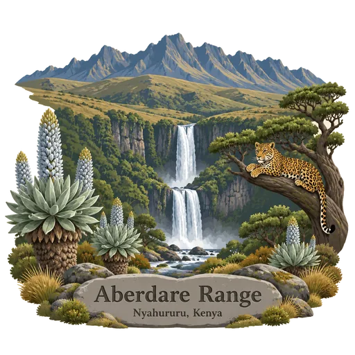
Aberdare Range 85 km
A mountain range about 160 kilometres long north of Nairobi, protected as Aberdare National Park. Moorland, bamboo and forest give way to waterfalls, with Mount Satima as the highest point. Elephants, leopards and bongo live in its forests, and the Chania and Gura waterfalls drop from its slopes.
More UNESCO World Heritage sites in Nyeri
Questions
Where is Mount Kenya National Park?
Mount Kenya National Park is in Nyeri, Kenya. The nearest other LOQAH stamps are Mount Kenya (15 km), Lewa Wildlife Conservancy (37 km), Ol Pejeta Conservancy (40 km).
How do I get the Mount Kenya National Park stamp?
Open LOQAH when you are at Mount Kenya National Park and get its stamp. The app checks where you are once, at that moment, and the stamp goes into your Nyeri volume, confirmed on site, with the date.
I have been to Mount Kenya National Park before. Can I still have the stamp?
Yes. Add it from Earlier trips in your Nyeri volume, with the date if you know it, or import your Google Timeline and LOQAH matches the places you were.
Collect your first stamp.
LOQAH is free on iPhone and Android, in India and 40 more countries, with more countries on the way. Stand at a place, collect its stamp, and keep every trip in a passport that grows.