

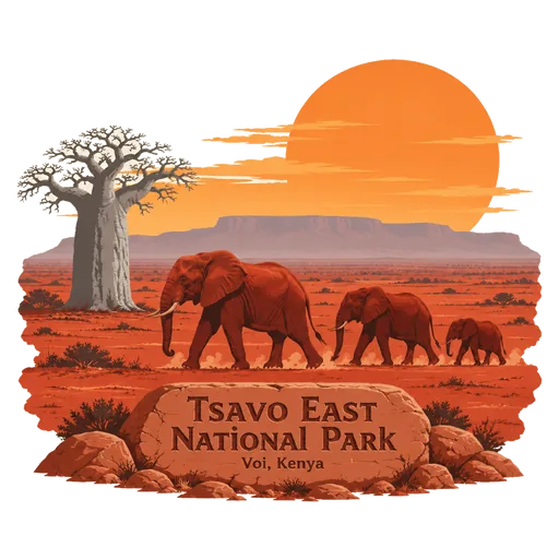
Tsavo East National Park
A national park of 13,747 square kilometres, set up in 1948 over a dry plain once called the Taru Desert. With neighbouring Tsavo West and the surrounding ranches it forms a protected area of about 22,000 square kilometres, among the largest in the world.
- Where
- Voi, Taita-Taveta, Kenya
- Grade
- Heritage site
- Worth
- 10 points collected on site, plus 3 for its grade
- Coordinates
- -2.7786, 38.7717
Get the Tsavo East National Park stamp
Open LOQAH when you are at Tsavo East National Park. It checks where you are once, at that moment, and the stamp is yours: confirmed on site in gold and struck with the date. It goes into your Taita-Taveta volume with your photos and a note.
Near Tsavo East National Park
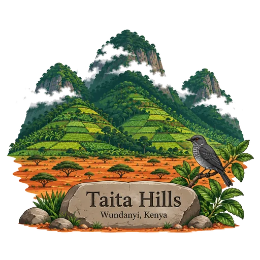
Taita Hills 86 km
A range of three hill massifs rising out of the dry plains of southeastern Kenya. Patches of cloud forest remain on the slopes, home to plants and animals found nowhere else. The three massifs are Dabida, Kasigau and Sagalla, and local farmers grow maize and vegetables on the terraced hillsides.
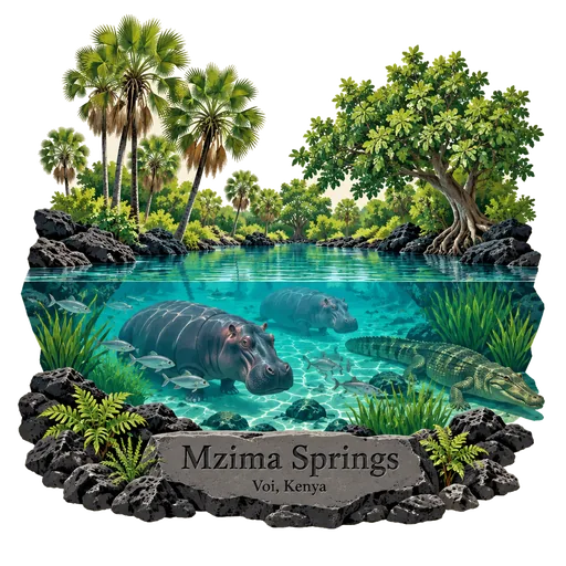
Mzima Springs 86 km
A group of natural springs in Tsavo West National Park, fed by water filtering through volcanic rock from the Chyulu Hills. Hippos and crocodiles live in the clear pools, which can be watched from an underwater viewing chamber.
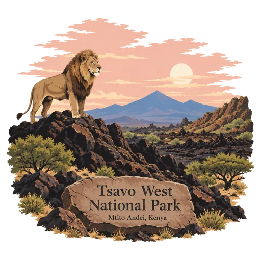
Tsavo West National Park 93 km
A national park of 9,065 square kilometres in Taita-Taveta County. The Nairobi to Mombasa road and the railway separate it from the adjoining Tsavo East National Park, and the two together form one of the largest protected areas in Kenya.
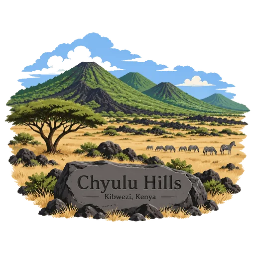
Chyulu Hills 104 km
A volcanic mountain range in Makueni County in southeastern Kenya, forming a field about 100 kilometres long that runs northwest to southeast. Its highest peak rises to 2,188 metres, and its green slopes stand above the dry plains around them.
Arabuko Sokoke Forest 128 km
A forest reserve on the Kenyan coast, 110 kilometres north of Mombasa. The Arabuko Sokoke National Park sits at its northwestern edge, and the forest is protected as a national forest reserve.
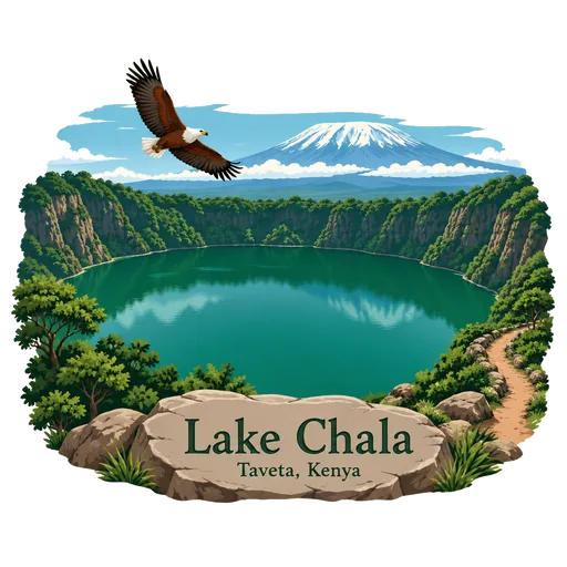
Lake Chala 133 km
A deep crater lake on the border of Kenya and Tanzania, at the foot of Mount Kilimanjaro. It formed about 250,000 years ago, and its water is a striking emerald green. It is warm enough for swimming, and a path runs along the crater rim above the water.
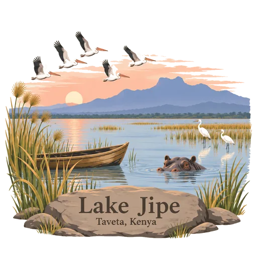
Lake Jipe 145 km
A shallow lake on the border of Kenya and Tanzania, fed by streams from Mount Kilimanjaro. Reed beds line its edge, and hippos and many water birds live here. Part of the lake lies inside Tsavo West National Park, and fishing boats cross its calm waters in the early morning.
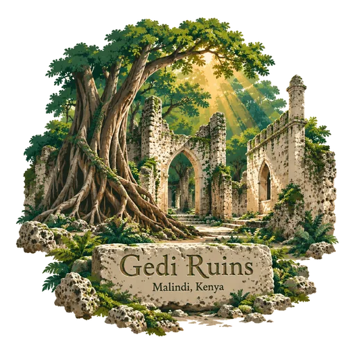
Gedi Ruins 150 km
The ruins of a Swahili town in forest near the Indian Ocean coast, abandoned in the 17th century. Coral stone houses, a mosque and a palace still stand among the trees, and the site is a UNESCO World Heritage Site.

Questions
Where is Tsavo East National Park?
Tsavo East National Park is in Voi, Taita-Taveta, Kenya. The nearest other LOQAH stamps are Taita Hills (86 km), Mzima Springs (86 km), Tsavo West National Park (93 km).
How do I get the Tsavo East National Park stamp?
Open LOQAH when you are at Tsavo East National Park and get its stamp. The app checks where you are once, at that moment, and the stamp goes into your Taita-Taveta volume, confirmed on site, with the date.
I have been to Tsavo East National Park before. Can I still have the stamp?
Yes. Add it from Earlier trips in your Taita-Taveta volume, with the date if you know it, or import your Google Timeline and LOQAH matches the places you were.
Collect your first stamp.
LOQAH is free on iPhone and Android, in India and 40 more countries, with more countries on the way. Stand at a place, collect its stamp, and keep every trip in a passport that grows.