

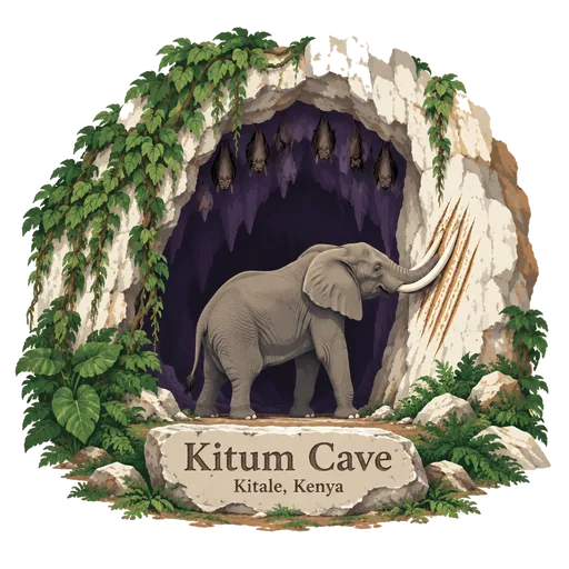
Kitum Cave
A large cave in Mount Elgon National Park, where elephants come at night to dig salt from the cave walls with their tusks. Visitors can walk inside to see the tusk marks and the roosting bats.
- Where
- Kitale, Trans Nzoia, Kenya
- Grade
- Well known
- Worth
- 10 points collected on site, plus 1 for its grade
- Coordinates
- 1.0491, 34.5802
Get the Kitum Cave stamp
Open LOQAH when you are at Kitum Cave. It checks where you are once, at that moment, and the stamp is yours: confirmed on site in gold and struck with the date. It goes into your Trans Nzoia volume with your photos and a note.
Near Kitum Cave
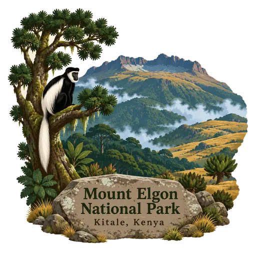
Mount Elgon National Park 9.4 km
A national park on Mount Elgon, 140 kilometres northeast of Lake Victoria, shared between Kenya and Uganda. It covers 1,279 square kilometres in all, of which only about 169 square kilometres lie on the Kenyan side.
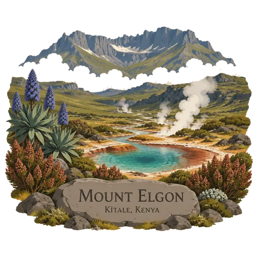
Mount Elgon 9.8 km
An extinct shield volcano on the border of Kenya and Uganda, with one of the largest volcanic bases in the world. Its highest point, Wagagai, lies in Uganda, while the Kenyan side has caves, hot springs and moorland.
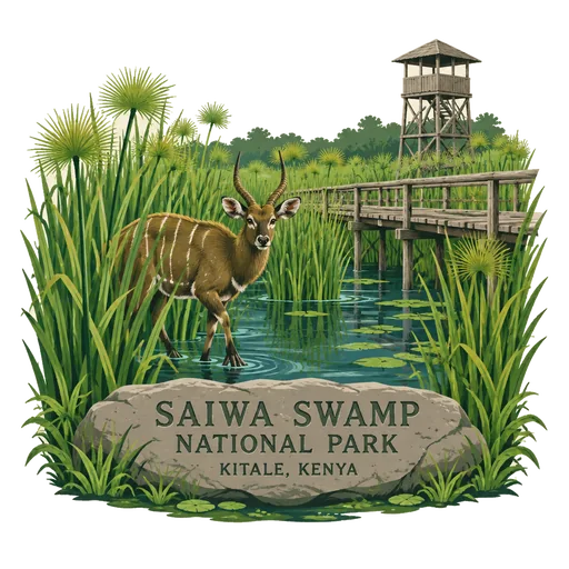
Saiwa Swamp National Park 60 km
The smallest national park in Kenya at only 3 square kilometres, near Kitale in Trans Nzoia County. It was created as a habitat for the sitatunga, a rare aquatic antelope that lives in the swamp.
Kakamega Forest 94 km
A tropical rainforest in western Kenya near the Ugandan border, spread over Kakamega, Vihiga and Nandi counties. It is the only tropical rainforest in Kenya and is said to be the last remnant of the ancient forest that once crossed Africa.
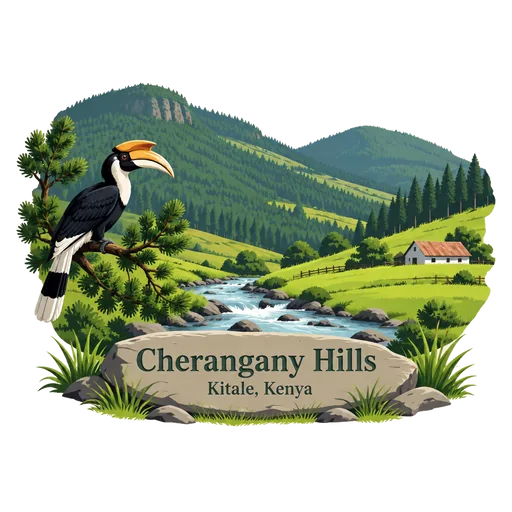
Cherangany Hills 99 km
A range of hills in the western highlands of Kenya. They are one of the country's five main forests and water catchment areas, and the Mau Escarpment rises from the border with Tanzania to divide the highlands.
Kerio Valley 123 km
A valley in the Great Rift Valley between the Tugen Hills and the Elgeyo Escarpment, at an elevation of about 1,000 metres. Viewpoints along the escarpment above Iten look down into it.
Kit Mikayi 130 km
A large stack of granite boulders, about 120 metres high, west of Kisumu. Its name means stone of the first wife in Luo, and it is a sacred site where local people pray and hold ceremonies.
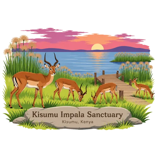
Kisumu Impala Sanctuary 132 km
A small sanctuary inside Kisumu city on the shore of Lake Victoria, covering less than one square kilometre. It was gazetted in 1992 and is advertised as a lakeshore walk with impalas.



Questions
Where is Kitum Cave?
Kitum Cave is in Kitale, Trans Nzoia, Kenya. The nearest other LOQAH stamps are Mount Elgon National Park (9.4 km), Mount Elgon (9.8 km), Saiwa Swamp National Park (60 km).
How do I get the Kitum Cave stamp?
Open LOQAH when you are at Kitum Cave and get its stamp. The app checks where you are once, at that moment, and the stamp goes into your Trans Nzoia volume, confirmed on site, with the date.
I have been to Kitum Cave before. Can I still have the stamp?
Yes. Add it from Earlier trips in your Trans Nzoia volume, with the date if you know it, or import your Google Timeline and LOQAH matches the places you were.
Collect your first stamp.
LOQAH is free on iPhone and Android, in India and 40 more countries, with more countries on the way. Stand at a place, collect its stamp, and keep every trip in a passport that grows.