

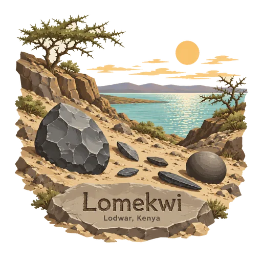
Lomekwi
An archaeological site on the west shore of Lake Turkana where stone tools about 3.3 million years old were found in 2011. They are older than any previously known tools and predate the genus Homo.
- Where
- Lodwar, Turkana, Kenya
- Grade
- Well known
- Worth
- 10 points collected on site, plus 1 for its grade
- Coordinates
- 3.9108, 35.8503
Get the Lomekwi stamp
Open LOQAH when you are at Lomekwi. It checks where you are once, at that moment, and the stamp is yours: confirmed on site in gold and struck with the date. It goes into your Turkana volume with your photos and a note.
Near Lomekwi
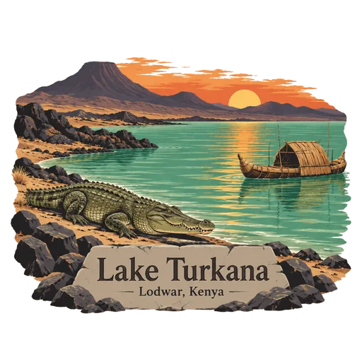
Lake Turkana 24 km
The world's largest permanent desert lake, a long jade coloured sheet of alkaline water in the northern Kenyan Rift Valley. Its shores hold major fossil sites, and its far northern end reaches into Ethiopia.
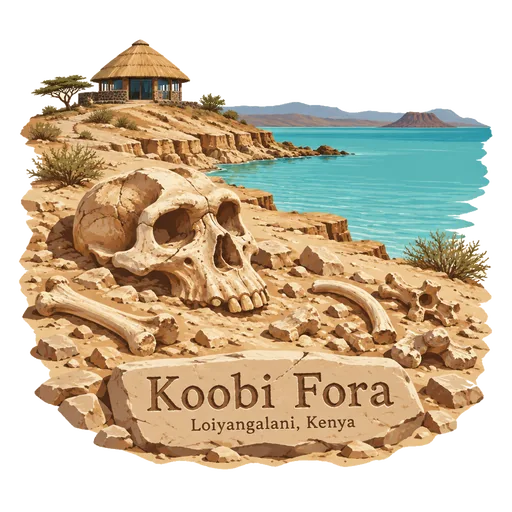
Koobi Fora 38 km
A fossil rich area on the eastern shore of Lake Turkana, in Sibiloi National Park. Many early human fossils have been found here since the 1960s, and a small museum shows some of the finds.
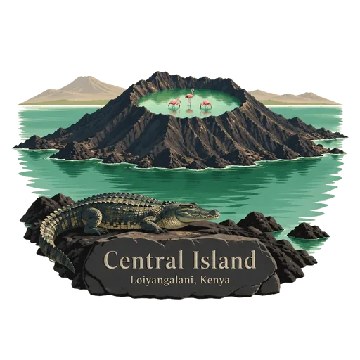
Central Island 51 km
A volcanic island in the middle of Lake Turkana, also called Crocodile Island. Its crater lakes are home to flamingos and Nile crocodiles, and it is part of a UNESCO listed national park.
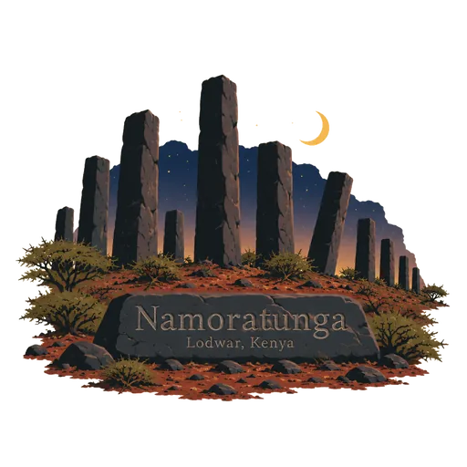
Namoratunga 55 km
An archaeological site west of Lake Turkana, where rows of basalt pillars stand on a low rise. It dates to about 300 BC and may have been used to track the movements of the stars.
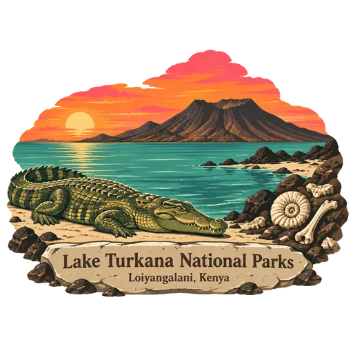
Lake Turkana National Parks 120 km
Three national parks on and around Lake Turkana: Sibiloi, Central Island and South Island. Inscribed by UNESCO in 1997, they protect fossil beds, breeding grounds for Nile crocodiles and a harsh volcanic shoreline.
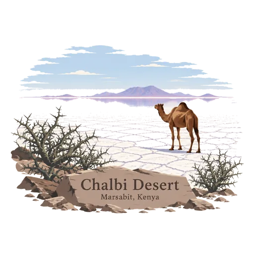
Chalbi Desert 193 km
A small desert in northern Kenya, east of Lake Turkana, with a vast dry salt flat at its heart. Heat and wind are fierce here, and the town of North Horr lies on its edge.
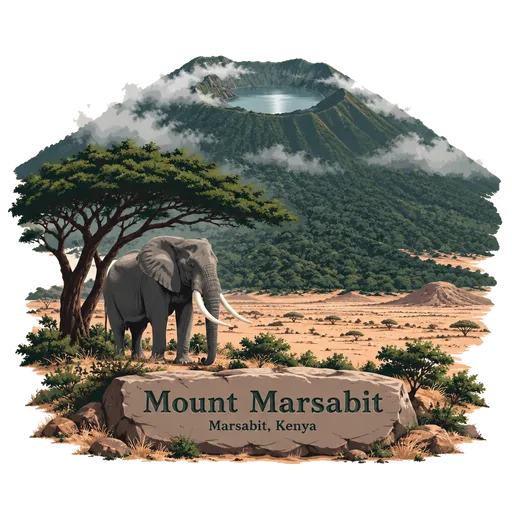
Mount Marsabit 294 km
A broad basaltic shield volcano rising from the desert of northern Kenya. Forests on its slopes and crater lakes lie within Marsabit National Park, home to elephants and many birds. It rises about 170 kilometres east of the Rift, and mist keeps its upper forests damp even when the surrounding plain is dry.
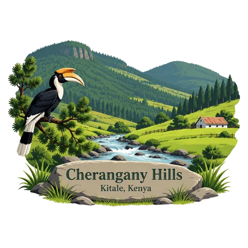
Cherangany Hills 299 km
A range of hills in the western highlands of Kenya. They are one of the country's five main forests and water catchment areas, and the Mau Escarpment rises from the border with Tanzania to divide the highlands.
Questions
Where is Lomekwi?
Lomekwi is in Lodwar, Turkana, Kenya. The nearest other LOQAH stamps are Lake Turkana (24 km), Koobi Fora (38 km), Central Island (51 km).
How do I get the Lomekwi stamp?
Open LOQAH when you are at Lomekwi and get its stamp. The app checks where you are once, at that moment, and the stamp goes into your Turkana volume, confirmed on site, with the date.
I have been to Lomekwi before. Can I still have the stamp?
Yes. Add it from Earlier trips in your Turkana volume, with the date if you know it, or import your Google Timeline and LOQAH matches the places you were.
Collect your first stamp.
LOQAH is free on iPhone and Android, in India and 40 more countries, with more countries on the way. Stand at a place, collect its stamp, and keep every trip in a passport that grows.