

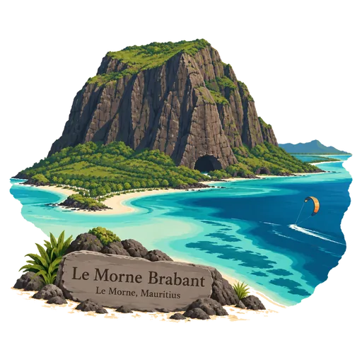
Le Morne Brabant
A basalt monolith rising 556 metres from the southwestern tip of Mauritius, surrounded by a lagoon. Escaped slaves, known as maroons, sheltered in its caves and on its summit plateau, and it was listed by UNESCO in 2008 as a symbol of resistance to slavery.
- Where
- Le Morne, Black River, Mauritius
- Grade
- UNESCO heritage
- Worth
- 10 points collected on site, plus 8 for its grade
- Coordinates
- -20.4606, 57.3136
Get the Le Morne Brabant stamp
Open LOQAH when you are at Le Morne Brabant. It checks where you are once, at that moment, and the stamp is yours: confirmed on site in gold and struck with the date. It goes into your Black River volume with your photos and a note.
Near Le Morne Brabant
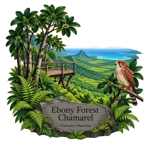
Ebony Forest Chamarel 6.6 km
A conservation reserve above Chamarel where native Mauritian forest is being replanted, including ebony trees. Guided walks and a viewpoint take visitors through the forest, and the site also works to protect endangered birds such as the pink pigeon.
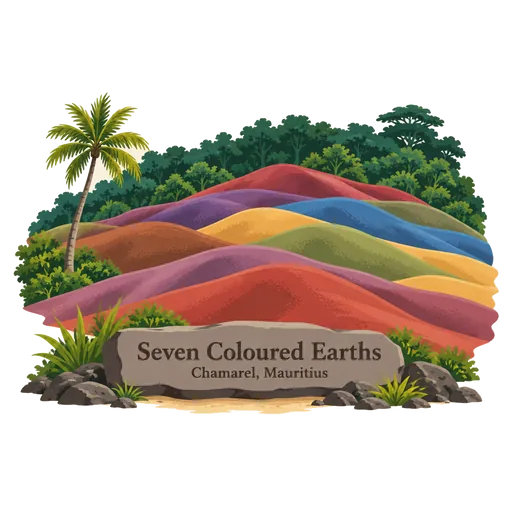
Seven Coloured Earths 6.6 km
A small area of rolling dunes on the Chamarel plain where the sand shows bands of red, brown, violet, green, blue, purple and yellow. The colours come from weathered volcanic rock, and the sand does not mix even after heavy rain.
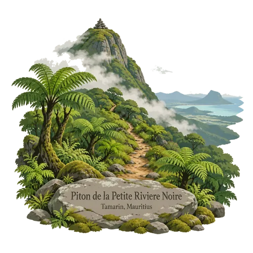
Piton de la Petite Riviere Noire 11 km
The highest point in Mauritius at 828 metres, in the Black River Gorges mountains of the southwest. Trails from the national park lead to the summit, and the climb gives views of the western coast and the interior forest.
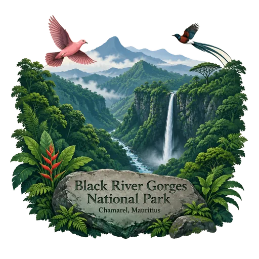
Black River Gorges National Park 12 km
The largest national park in Mauritius, proclaimed on 15 June 1994 in the hilly south west. It covers 67.54 square kilometres of humid upland forest, dry lowland forest and gorges, with walking trails, waterfalls and some of the last wild habitat of the Mauritius kestrel and pink pigeon.
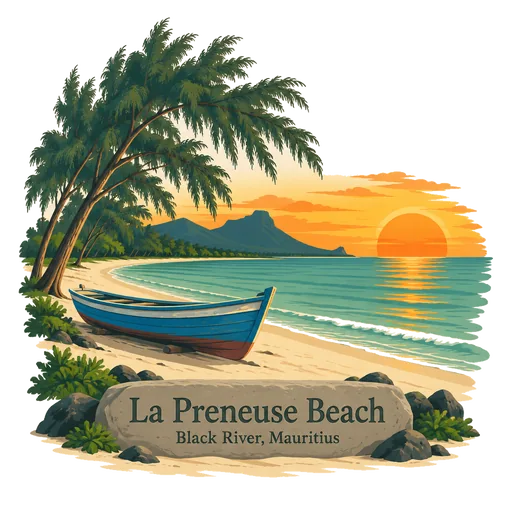
La Preneuse Beach 13 km
A public beach on the western coast near the village of Black River, named after a French frigate. The sheltered shore has calm water and sunsets over the Indian Ocean, and an old Martello tower from the British period stands close by.
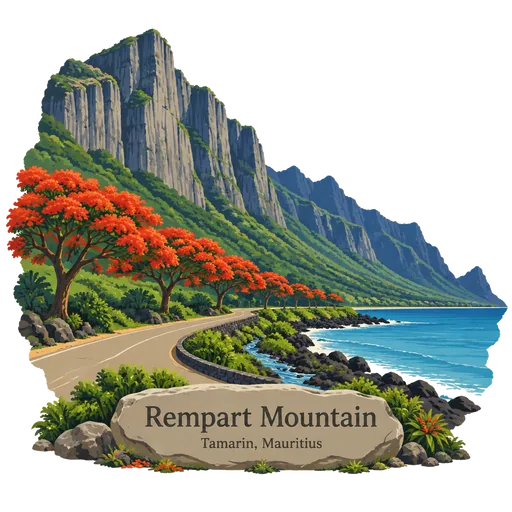
Rempart Mountain 14 km
A mountain near Tamarin in the Black River district of western Mauritius, and the fourth highest peak on the island. Its steep rock face is visible from the coast road, and it has long been used by climbers and hikers.
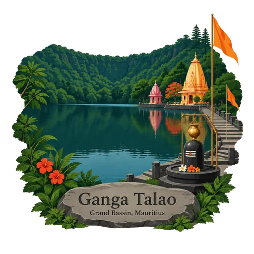
Ganga Talao 19 km
A crater lake high in the mountains of the Savanne district, and the most sacred Hindu site in Mauritius. Thousands of pilgrims walk to it each year for the Maha Shivaratri festival, and temples and shrines stand along its shore.
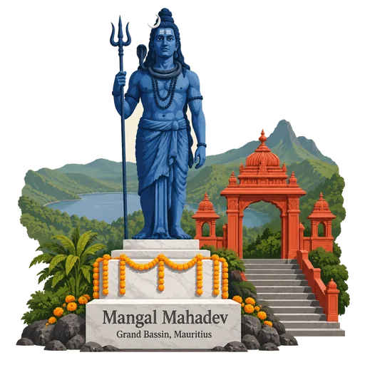
Mangal Mahadev 19 km
A 33 metre statue of the Hindu god Shiva holding his trident, standing at the entrance to Ganga Talao in the Savanne mountains. Completed in 2007, it is among the tallest statues in Mauritius, and pilgrims pass it on the way to the lake.
Questions
Where is Le Morne Brabant?
Le Morne Brabant is in Le Morne, Black River, Mauritius. The nearest other LOQAH stamps are Ebony Forest Chamarel (6.6 km), Seven Coloured Earths (6.6 km), Piton de la Petite Riviere Noire (11 km).
How do I get the Le Morne Brabant stamp?
Open LOQAH when you are at Le Morne Brabant and get its stamp. The app checks where you are once, at that moment, and the stamp goes into your Black River volume, confirmed on site, with the date.
I have been to Le Morne Brabant before. Can I still have the stamp?
Yes. Add it from Earlier trips in your Black River volume, with the date if you know it, or import your Google Timeline and LOQAH matches the places you were.
Collect your first stamp.
LOQAH is free on iPhone and Android, in India and 40 more countries, with more countries on the way. Stand at a place, collect its stamp, and keep every trip in a passport that grows.