

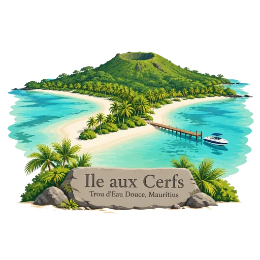
Ile aux Cerfs
A small island in a lagoon off the east coast of Mauritius, reached by boat from Trou d'Eau Douce. It has long white beaches, shallow turquoise water, watersports, and an 18 hole golf course designed by Bernhard Langer.
- Where
- Trou d'Eau Douce, Flacq, Mauritius
- Grade
- Local gem
- Worth
- 10 points collected on site
- Coordinates
- -20.2724, 57.8041
Get the Ile aux Cerfs stamp
Open LOQAH when you are at Ile aux Cerfs. It checks where you are once, at that moment, and the stamp is yours: confirmed on site in gold and struck with the date. It goes into your Flacq volume with your photos and a note.
Near Ile aux Cerfs
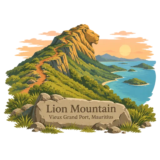
Lion Mountain 13 km
A mountain of about 440 metres near Vieux Grand Port in the southeast, named because its outline looks like a sleeping lion. A trail climbs to the summit and gives views over the bay of Grand Port and the nearby coast.
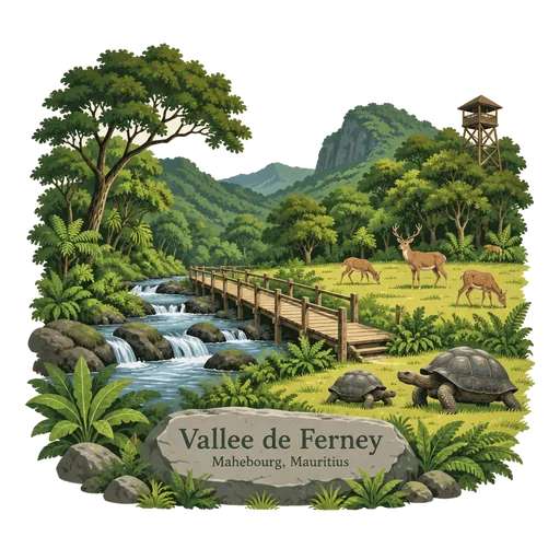
Vallee de Ferney 14 km
A forest and wildlife reserve in the Bambous mountains, north of Mahebourg. It protects native trees and is part of a programme to bring back endemic birds, and visitors can walk its trails to see the Mauritius kestrel.
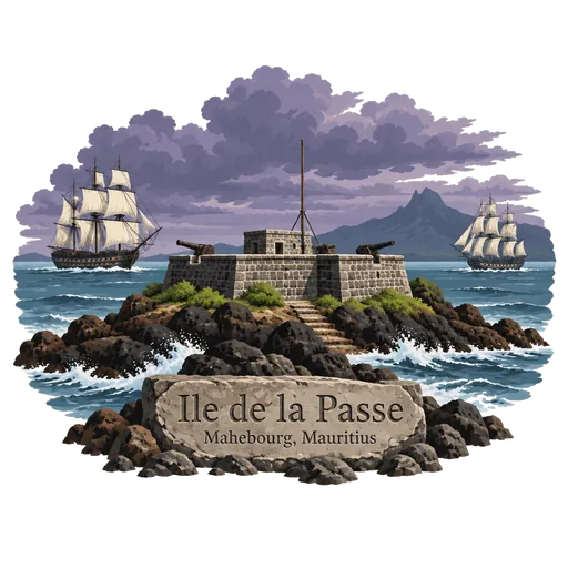
Ile de la Passe 15 km
A rocky islet in the bay of Grand Port, where a fort once guarded the entrance to the harbour. In August 1810 the British took it, and the French won a naval victory in the Battle of Grand Port over the following days.
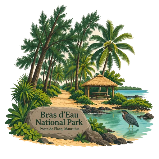
Bras d'Eau National Park 17 km
A national park on the north east coast of Mauritius, one of only three on the island. It protects a stretch of coastal woodland, and its quiet tracks and picnic areas near the sea are popular for walking and cycling.
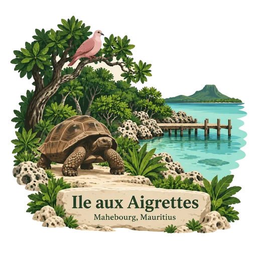
Ile aux Aigrettes 18 km
A small coral islet in the lagoon off Mahebourg, run as a nature reserve and research station. It protects some of the last coastal ebony forest on the island and is home to pink pigeons, giant Aldabra tortoises and other rare species.
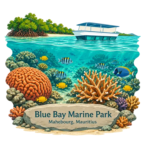
Blue Bay Marine Park 22 km
A marine reserve of about 353 hectares on the southeast coast, declared a national park in 1997 and listed under the Ramsar Convention. Its coral gardens and clear lagoon are visited by glass bottom boat and snorkelling trips.
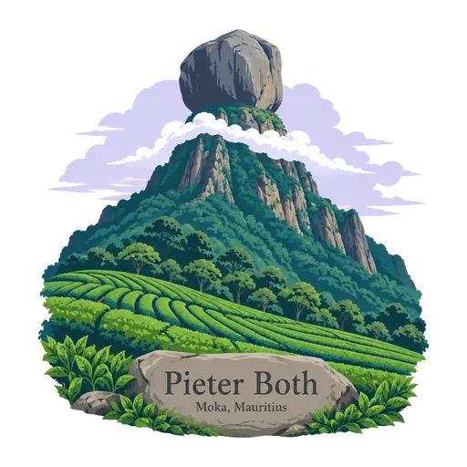
Pieter Both 27 km
The second highest mountain in Mauritius at 820 metres, in the Moka range. Its summit is crowned by a rounded rock head that gives it a distinctive profile, and it is named after a Dutch governor general of the East Indies.
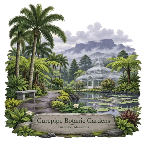
Curepipe Botanic Gardens 30 km
The second largest botanical garden in Mauritius, set along Route des Jardins in the cool upland town of Curepipe. It holds palms, ferns and endemic trees along shaded paths, and locals use it for walks and picnics.
More hidden gems in Flacq
Questions
Where is Ile aux Cerfs?
Ile aux Cerfs is in Trou d'Eau Douce, Flacq, Mauritius. The nearest other LOQAH stamps are Lion Mountain (13 km), Vallee de Ferney (14 km), Ile de la Passe (15 km).
How do I get the Ile aux Cerfs stamp?
Open LOQAH when you are at Ile aux Cerfs and get its stamp. The app checks where you are once, at that moment, and the stamp goes into your Flacq volume, confirmed on site, with the date.
I have been to Ile aux Cerfs before. Can I still have the stamp?
Yes. Add it from Earlier trips in your Flacq volume, with the date if you know it, or import your Google Timeline and LOQAH matches the places you were.
Collect your first stamp.
LOQAH is free on iPhone and Android, in India and 40 more countries, with more countries on the way. Stand at a place, collect its stamp, and keep every trip in a passport that grows.