

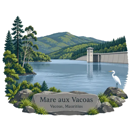
Mare aux Vacoas
The largest reservoir in Mauritius, set among the cool uplands south of Vacoas and Curepipe. It supplies much of the island's drinking water and is the source of the Tamarin River, whose waters later spill over the Tamarind Falls.
- Where
- Vacoas, Plaines Wilhems, Mauritius
- Grade
- Local gem
- Worth
- 10 points collected on site
- Coordinates
- -20.3667, 57.5000
Get the Mare aux Vacoas stamp
Open LOQAH when you are at Mare aux Vacoas. It checks where you are once, at that moment, and the stamp is yours: confirmed on site in gold and struck with the date. It goes into your Plaines Wilhems volume with your photos and a note.
Near Mare aux Vacoas
Tamarind Falls 4.3 km
A series of seven waterfalls on the Tamarin River in the southwest highlands, fed by the water of Mare aux Vacoas. The falls drop through forested gorges, and the best-known viewpoints are reached by walks from the villages above.
Curepipe Botanic Gardens 4.9 km
The second largest botanical garden in Mauritius, set along Route des Jardins in the cool upland town of Curepipe. It holds palms, ferns and endemic trees along shaded paths, and locals use it for walks and picnics.
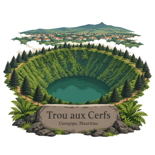
Trou aux Cerfs 5.5 km
A dormant volcano on the edge of Curepipe, 605 metres high, with a wide crater holding a small lake. A path circles the rim and gives views over the central plateau, and on clear days the mountains of the island are visible all around.
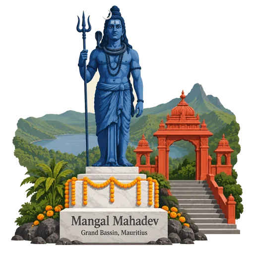
Mangal Mahadev 5.6 km
A 33 metre statue of the Hindu god Shiva holding his trident, standing at the entrance to Ganga Talao in the Savanne mountains. Completed in 2007, it is among the tallest statues in Mauritius, and pilgrims pass it on the way to the lake.
Ganga Talao 5.8 km
A crater lake high in the mountains of the Savanne district, and the most sacred Hindu site in Mauritius. Thousands of pilgrims walk to it each year for the Maha Shivaratri festival, and temples and shrines stand along its shore.
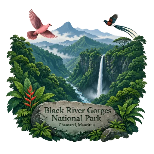
Black River Gorges National Park 10 km
The largest national park in Mauritius, proclaimed on 15 June 1994 in the hilly south west. It covers 67.54 square kilometres of humid upland forest, dry lowland forest and gorges, with walking trails, waterfalls and some of the last wild habitat of the Mauritius kestrel and pink pigeon.
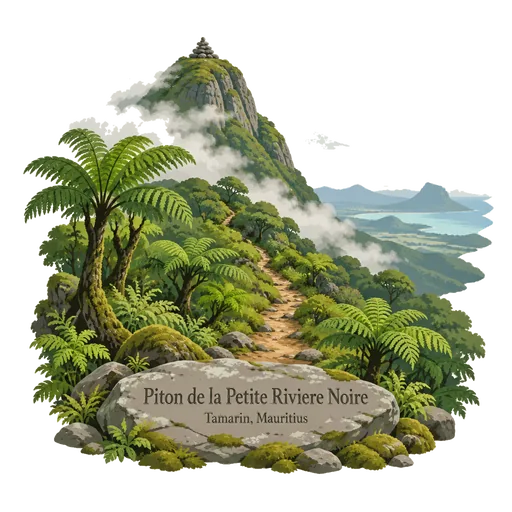
Piton de la Petite Riviere Noire 11 km
The highest point in Mauritius at 828 metres, in the Black River Gorges mountains of the southwest. Trails from the national park lead to the summit, and the climb gives views of the western coast and the interior forest.
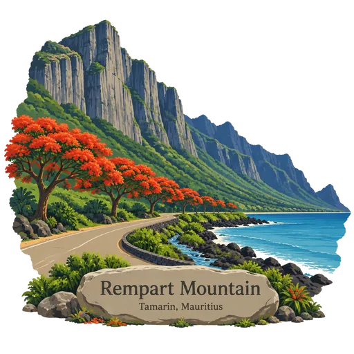
Rempart Mountain 13 km
A mountain near Tamarin in the Black River district of western Mauritius, and the fourth highest peak on the island. Its steep rock face is visible from the coast road, and it has long been used by climbers and hikers.



More hidden gems in Plaines Wilhems
Questions
Where is Mare aux Vacoas?
Mare aux Vacoas is in Vacoas, Plaines Wilhems, Mauritius. The nearest other LOQAH stamps are Tamarind Falls (4.3 km), Curepipe Botanic Gardens (4.9 km), Trou aux Cerfs (5.5 km).
How do I get the Mare aux Vacoas stamp?
Open LOQAH when you are at Mare aux Vacoas and get its stamp. The app checks where you are once, at that moment, and the stamp goes into your Plaines Wilhems volume, confirmed on site, with the date.
I have been to Mare aux Vacoas before. Can I still have the stamp?
Yes. Add it from Earlier trips in your Plaines Wilhems volume, with the date if you know it, or import your Google Timeline and LOQAH matches the places you were.
Collect your first stamp.
LOQAH is free on iPhone and Android, in India and 40 more countries, with more countries on the way. Stand at a place, collect its stamp, and keep every trip in a passport that grows.