

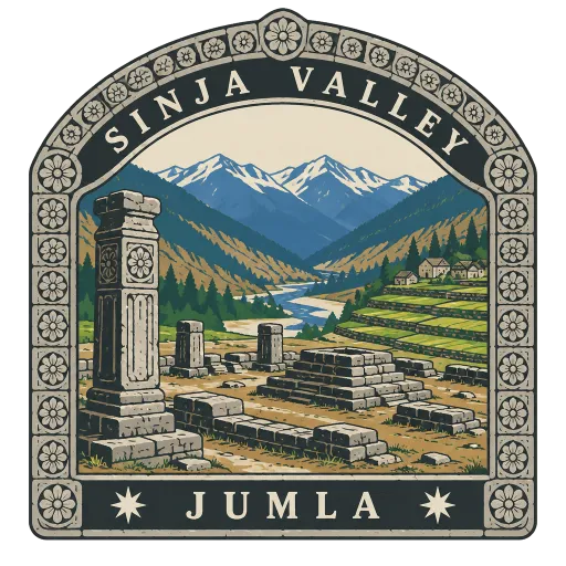
Sinja Valley
A valley in Jumla District that was the ancient capital of the Khasa kingdom, with ruins of temples and stone pillars from that era. It is also considered the birthplace of the Nepali language.
- Where
- Jumla, Karnali, Nepal
- Grade
- Heritage site
- Worth
- 10 points collected on site, plus 3 for its grade
- Coordinates
- 29.3244, 81.9825
Get the Sinja Valley stamp
Open LOQAH when you are at Sinja Valley. It checks where you are once, at that moment, and the stamp is yours: confirmed on site in gold and struck with the date. It goes into your Karnali volume with your photos and a note.
Near Sinja Valley
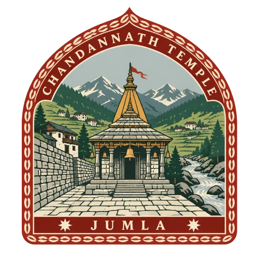
Chandannath Temple 20 km
The chief temple of Jumla, standing in Khalanga Bazaar, the district's main town in the valley of the Tila river. It is a centre of worship for the Karnali region.
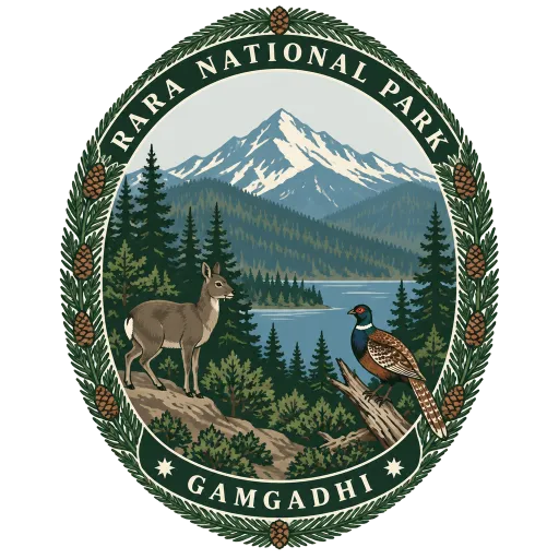
Rara National Park 21 km
Nepal's smallest national park, set up in 1976 across 106 square kilometres of Mugu and Jumla around Rara Lake. It rises from 2,800 metres to 4,039 metres at Chuchemara Peak, through forests of pine, spruce and juniper.
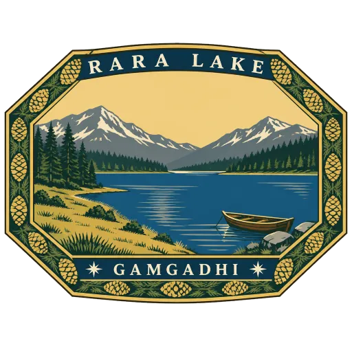
Rara Lake 25 km
The largest lake in Nepal, about 5 km long and up to 167 metres deep, at 2,990 metres in the far northwest. Its blue water is ringed by pine and juniper forest, with the peaks of Ruma Kand and Malika Kand rising on either side.
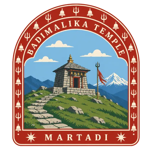
Badimalika Temple 49 km
A high mountain temple to the goddess Bhagwati in Triveni Municipality, Bajura, one of the major shrines of western Nepal. Pilgrims gather for its main festival, Malika Chaturdashi, and it keeps two priests, one each from Kalikot and Bajura.
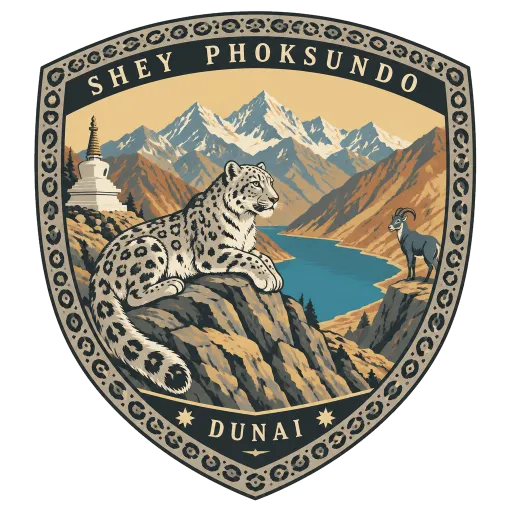
Shey Phoksundo National Park 84 km
Nepal's largest national park and its only one beyond the main Himalayan crest, 3,555 square kilometres of Dolpa and Mugu set aside in 1984. It climbs from 2,130 to 6,885 metres, and its best-known sight is the deep turquoise Phoksundo Lake.
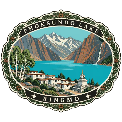
Phoksundo Lake 95 km
An alpine lake of startling turquoise at about 3,611 metres in Dolpa, the centrepiece of Shey Phoksundo National Park. It covers 494 hectares and plunges to around 136 metres deep, with the village of Ringmo and its stupas at its southern end.
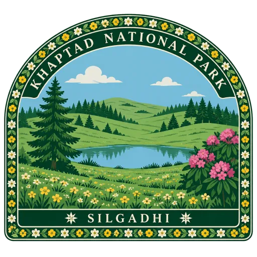
Khaptad National Park 96 km
A high plateau of meadow and forest in the far west of Nepal, made a national park in 1984 and spread over 225 square kilometres of four districts. It rises from 1,400 to 3,300 metres and was the long-time retreat of the hermit Khaptad Baba.
Bardiya National Park 107 km
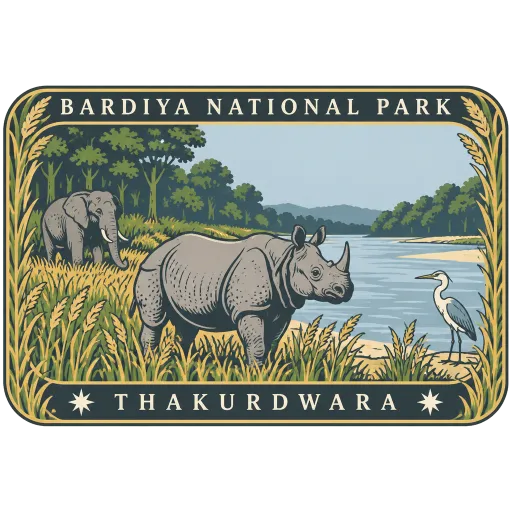
The largest and least disturbed national park in Nepal's Terai, 968 square kilometres of sal forest and grassland on the east bank of the Karnali, crossed by the Babai river. Founded in 1988, it is known for tigers, rhinos and wild elephants.
More heritage sites in Karnali
Questions
Where is Sinja Valley?
Sinja Valley is in Jumla, Karnali, Nepal. The nearest other LOQAH stamps are Chandannath Temple (20 km), Rara National Park (21 km), Rara Lake (25 km).
How do I get the Sinja Valley stamp?
Open LOQAH when you are at Sinja Valley and get its stamp. The app checks where you are once, at that moment, and the stamp goes into your Karnali volume, confirmed on site, with the date.
I have been to Sinja Valley before. Can I still have the stamp?
Yes. Add it from Earlier trips in your Karnali volume, with the date if you know it, or import your Google Timeline and LOQAH matches the places you were.
Collect your first stamp.
LOQAH is free on iPhone and Android, in India and 20 more countries, with more countries on the way. Stand at a place, collect its stamp, and keep every trip in a passport that grows.