

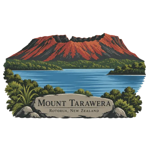
Mount Tarawera
A volcano near Rotorua that erupted on 10 June 1886, killing about 120 people and burying the Pink and White Terraces. The eruption tore a rift 17 kilometres long, and the buried village of Te Wairoa is now a museum.
- Where
- Rotorua, Bay of Plenty, New Zealand
- Grade
- Local gem
- Worth
- 10 points collected on site
- Coordinates
- -38.2269, 176.5067
Get the Mount Tarawera stamp
Open LOQAH when you are at Mount Tarawera. It checks where you are once, at that moment, and the stamp is yours: confirmed on site in gold and struck with the date. It goes into your Bay of Plenty volume with your photos and a note.
Near Mount Tarawera
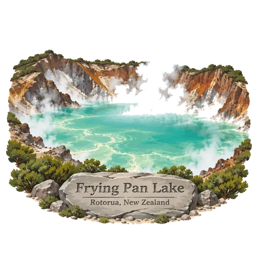
Frying Pan Lake 12 km
The largest hot spring in the world, lying in Echo Crater in the Waimangu Volcanic Rift Valley south of Rotorua. Its acidic water stays at around 50 to 60 degrees Celsius and the lake covers roughly 38,000 square metres.
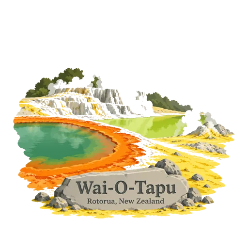
Wai-O-Tapu 19 km
An active geothermal area south of Rotorua, whose name means sacred waters. Its colourful features include the huge Champagne Pool and the bright green Devil's Bath, and the Lady Knox Geyser erupts every morning.
Polynesian Spa 24 km
A geothermal spa on the shore of Lake Rotorua, where visitors soak in pools fed by natural mineral springs. The area has drawn bathers since the nineteenth century, and the pools look out across the lake from the edge of the city.
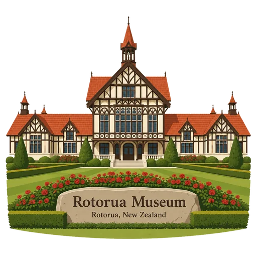
Rotorua Museum 24 km
A museum and art gallery in the Government Gardens, housed in the Tudor style Bath House that opened in 1908 as a spa. Its collections include more than 2,000 Māori taonga, and the building was closed in 2016 after earthquake strength concerns.
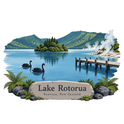
Lake Rotorua 26 km
The second largest lake on the North Island, filling a volcanic caldera that formed around 240,000 years ago. Mokoia Island sits at its centre, and the geothermal city of Rotorua lies on its southern shore.
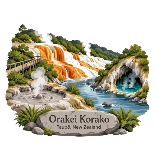
Orakei Korako 42 km
A highly active geothermal area in a valley north of Taupō on the banks of the Waikato River, noted for its fault stepped sinter terraces. It is also called the Hidden Valley, and visitors cross the river by boat to reach the boardwalks.
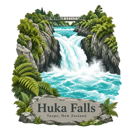
Huka Falls 59 km
A set of rapids and a drop on the Waikato River just north of Lake Taupo, where the river narrows from about 100 metres to 15. Around 220,000 litres of water pass through the chasm each second, and the water is a deep blue.
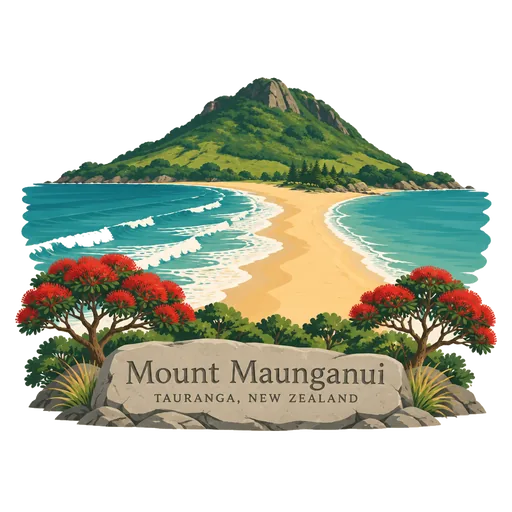
Mount Maunganui 73 km
A 232 metre extinct volcanic cone at the end of a sandy peninsula in Tauranga, also called Mauao. A steep track climbs to the summit for a view over the Bay of Plenty, and a famed surf beach runs along its base.

More hidden gems in Bay of Plenty
Questions
Where is Mount Tarawera?
Mount Tarawera is in Rotorua, Bay of Plenty, New Zealand. The nearest other LOQAH stamps are Frying Pan Lake (12 km), Wai-O-Tapu (19 km), Polynesian Spa (24 km).
How do I get the Mount Tarawera stamp?
Open LOQAH when you are at Mount Tarawera and get its stamp. The app checks where you are once, at that moment, and the stamp goes into your Bay of Plenty volume, confirmed on site, with the date.
I have been to Mount Tarawera before. Can I still have the stamp?
Yes. Add it from Earlier trips in your Bay of Plenty volume, with the date if you know it, or import your Google Timeline and LOQAH matches the places you were.
Collect your first stamp.
LOQAH is free on iPhone and Android, in India and 40 more countries, with more countries on the way. Stand at a place, collect its stamp, and keep every trip in a passport that grows.