

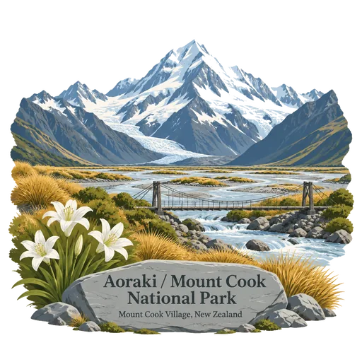
Aoraki / Mount Cook National Park
A national park in the central west of the South Island, established in October 1953 and named for Aoraki / Mount Cook, the country's highest mountain. Glaciers and peaks of the Southern Alps fill much of the park, with walking tracks near the village.
- Where
- Mount Cook Village, Canterbury, New Zealand
- Grade
- UNESCO heritage
- Worth
- 10 points collected on site, plus 8 for its grade
- Coordinates
- -43.7333, 170.1000
Get the Aoraki / Mount Cook National Park stamp
Open LOQAH when you are at Aoraki / Mount Cook National Park. It checks where you are once, at that moment, and the stamp is yours: confirmed on site in gold and struck with the date. It goes into your Canterbury volume with your photos and a note.
Near Aoraki / Mount Cook National Park
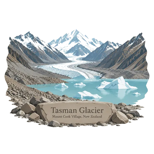
Tasman Glacier 15 km
The longest glacier in New Zealand at around 23 kilometres, flowing south from the Southern Alps in Aoraki Mount Cook National Park. Its terminal lake, scattered with icebergs, can be explored by boat.
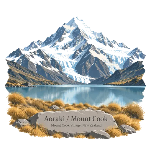
Aoraki / Mount Cook 16 km
The highest mountain in New Zealand, rising 3,724 metres in the Southern Alps. It stands in Aoraki Mount Cook National Park, and Sir Edmund Hillary trained on its slopes before his Himalayan climbs.
Fox Glacier 26 km
An 11.7 kilometre long glacier in Westland Tai Poutini National Park that ends in rainforest not far from the Tasman Sea. It is named after the premier William Fox, and the village of Fox Glacier is the base for guided walks.
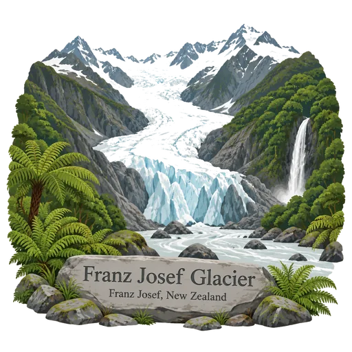
Franz Josef Glacier 30 km
A 12 kilometre long glacier in Westland Tai Poutini National Park that flows from the Southern Alps almost down to rainforest, a few hundred metres above sea level. It has advanced and retreated sharply over the last century and is reached from the village of Franz Josef.
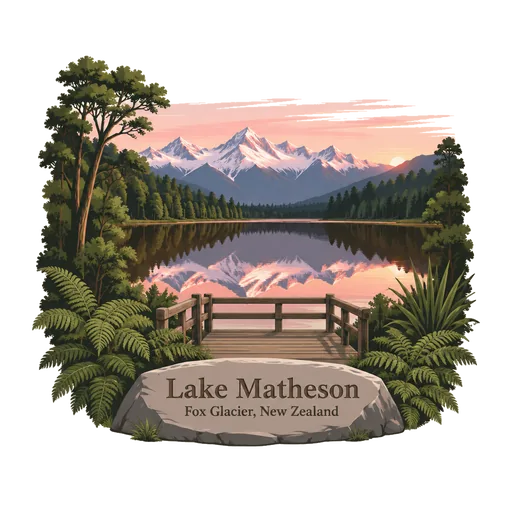
Lake Matheson 35 km
A small glacial lake in South Westland near the township of Fox Glacier, once a food gathering place for local Māori. An easy track circles the lake, which is famous for mirror reflections of Aoraki / Mount Cook and Mount Tasman on calm mornings.
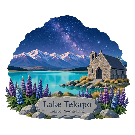
Lake Tekapo 39 km
The second largest of three parallel alpine lakes at the northern edge of the Mackenzie Basin. Glacial flour gives it an unreal turquoise colour, and the small Church of the Good Shepherd stands on its shore.
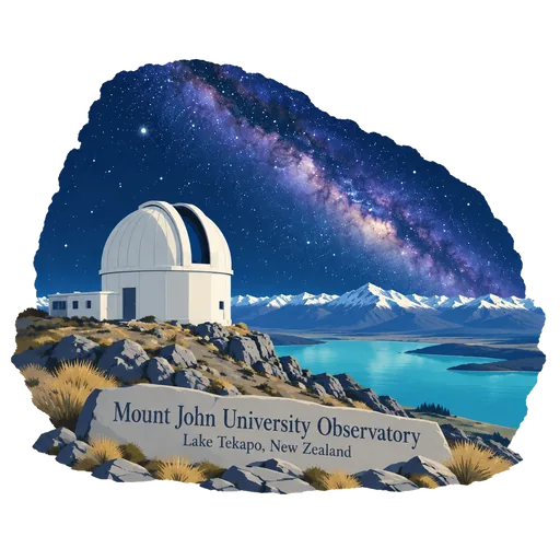
Mount John University Observatory 41 km
New Zealand's premier astronomical research observatory, on top of Mount John at 1,029 metres above Lake Tekapo. It lies in the Aoraki Mackenzie International Dark Sky Reserve, and visitors come for the views and for stargazing tours.
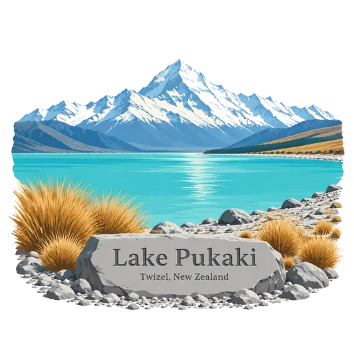
Lake Pukaki 43 km
The largest of the three parallel alpine lakes along the Mackenzie Basin, coloured turquoise by glacial flour. From the southern shore there is a clear view up the lake to Aoraki Mount Cook.

Questions
Where is Aoraki / Mount Cook National Park?
Aoraki / Mount Cook National Park is in Mount Cook Village, Canterbury, New Zealand. The nearest other LOQAH stamps are Tasman Glacier (15 km), Aoraki / Mount Cook (16 km), Fox Glacier (26 km).
How do I get the Aoraki / Mount Cook National Park stamp?
Open LOQAH when you are at Aoraki / Mount Cook National Park and get its stamp. The app checks where you are once, at that moment, and the stamp goes into your Canterbury volume, confirmed on site, with the date.
I have been to Aoraki / Mount Cook National Park before. Can I still have the stamp?
Yes. Add it from Earlier trips in your Canterbury volume, with the date if you know it, or import your Google Timeline and LOQAH matches the places you were.
Collect your first stamp.
LOQAH is free on iPhone and Android, in India and 40 more countries, with more countries on the way. Stand at a place, collect its stamp, and keep every trip in a passport that grows.