

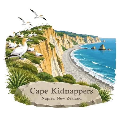
Cape Kidnappers
A headland at the southern end of Hawke Bay, named by Captain Cook in 1769 after local Maori tried to take a Tahitian boy from his ship. It has the largest mainland gannet colony in the world, with thousands of birds nesting each spring.
- Where
- Napier, Hawke's Bay, New Zealand
- Grade
- Local gem
- Worth
- 10 points collected on site
- Coordinates
- -39.6431, 177.0956
Get the Cape Kidnappers stamp
Open LOQAH when you are at Cape Kidnappers. It checks where you are once, at that moment, and the stamp is yours: confirmed on site in gold and struck with the date. It goes into your Hawke's Bay volume with your photos and a note.
Near Cape Kidnappers
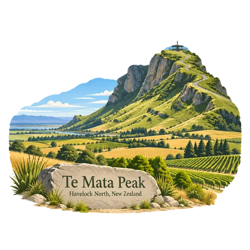
Te Mata Peak 17 km
A peak rising to 399 metres in the Te Mata Hills south of Hastings. A sealed road leads to the lookout at the summit, which has wide views over the Hawke's Bay, and many trails cross the ridge for walkers and mountain bikers.
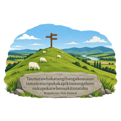
Taumatawhakatangihangakoauauotamateaturipukakapikimaungahoronukupokaiwhenuakitanatahu 91 km
A hill in southern Hawke's Bay whose Maori name, of 85 letters, is the longest place name in the world according to the Guinness World Records. The name is usually translated as the place where Tamatea, the man with the big knees, played his flute to his loved one.
Lake Waikaremoana 97 km
A lake in Te Urewera on the North Island, 60 kilometres northwest of Wairoa, covering 54 square kilometres. Forested hills surround the water, and a multi day walking track around its shore is counted among New Zealand's Great Walks.
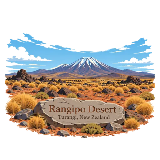
Rangipo Desert 127 km
A stony, dry plateau on the eastern side of the Tongariro volcanoes, known as Te Onetapu. Rain falls on it, but the volcanic soil drains so fast that only tussock and hardy shrubs grow, and the road crosses it as the Desert Road.
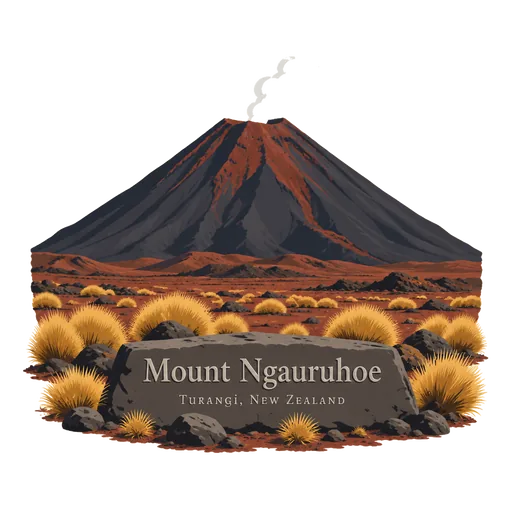
Mount Ngauruhoe 137 km
The youngest volcanic cone in the Tongariro complex, rising 2,291 metres in the central North Island. It last erupted in 1977, and the cone served as Mount Doom in the Lord of the Rings films.
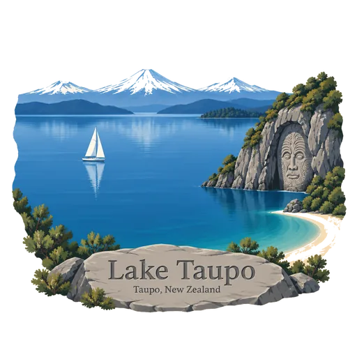
Lake Taupo 137 km
New Zealand's largest lake by area, filling the caldera of a supervolcano in the centre of the North Island. Its last major eruption, around 232 CE, was one of the most violent in the last 5,000 years, and the lake is now a famed trout fishery.
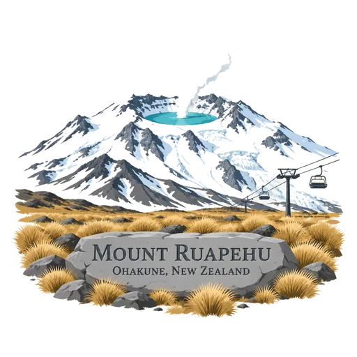
Mount Ruapehu 137 km
An active stratovolcano and the highest mountain on the North Island at 2,797 metres, at the southern end of the Taupo Volcanic Zone. It has a hot crater lake, and two commercial ski fields, Whakapapa and Turoa, share its slopes.
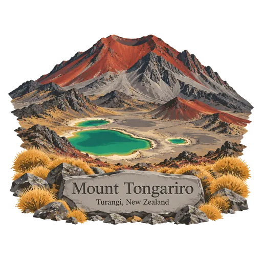
Mount Tongariro 138 km
A compound volcano of the Tongariro complex rising to 1,978 metres on the central North Island. Its crater and the Red Crater are crossed by the Tongariro Alpine Crossing, often called the best day walk in the country.

More hidden gems in Hawke's Bay
Questions
Where is Cape Kidnappers?
Cape Kidnappers is in Napier, Hawke's Bay, New Zealand. The nearest other LOQAH stamps are Te Mata Peak (17 km), Taumatawhakatangihangakoauauotamateaturipukakapikimaungahoronukupokaiwhenuakitanatahu (91 km), Lake Waikaremoana (97 km).
How do I get the Cape Kidnappers stamp?
Open LOQAH when you are at Cape Kidnappers and get its stamp. The app checks where you are once, at that moment, and the stamp goes into your Hawke's Bay volume, confirmed on site, with the date.
I have been to Cape Kidnappers before. Can I still have the stamp?
Yes. Add it from Earlier trips in your Hawke's Bay volume, with the date if you know it, or import your Google Timeline and LOQAH matches the places you were.
Collect your first stamp.
LOQAH is free on iPhone and Android, in India and 40 more countries, with more countries on the way. Stand at a place, collect its stamp, and keep every trip in a passport that grows.