

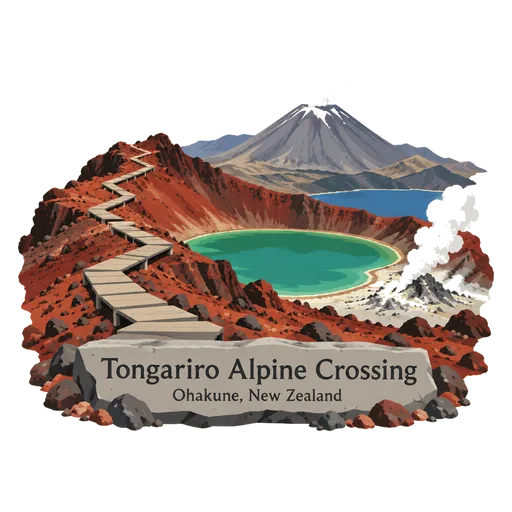
Tongariro Alpine Crossing
A tramping track in Tongariro National Park, among the most popular day hikes in New Zealand. It crosses volcanic terrain past craters, steaming vents and coloured lakes, in a park that holds World Heritage status for both nature and Māori culture.
- Where
- Ohakune, Manawatū-Whanganui, New Zealand
- Grade
- UNESCO heritage
- Worth
- 10 points collected on site, plus 8 for its grade
- Coordinates
- -39.0739, 175.6638
Get the Tongariro Alpine Crossing stamp
Open LOQAH when you are at Tongariro Alpine Crossing. It checks where you are once, at that moment, and the stamp is yours: confirmed on site in gold and struck with the date. It goes into your Manawatū-Whanganui volume with your photos and a note.
Near Tongariro Alpine Crossing
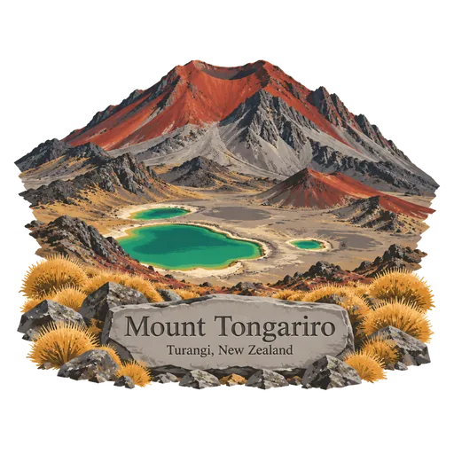
Mount Tongariro 6.7 km
A compound volcano of the Tongariro complex rising to 1,978 metres on the central North Island. Its crater and the Red Crater are crossed by the Tongariro Alpine Crossing, often called the best day walk in the country.
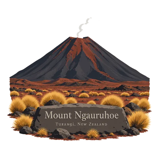
Mount Ngauruhoe 9.6 km
The youngest volcanic cone in the Tongariro complex, rising 2,291 metres in the central North Island. It last erupted in 1977, and the cone served as Mount Doom in the Lord of the Rings films.
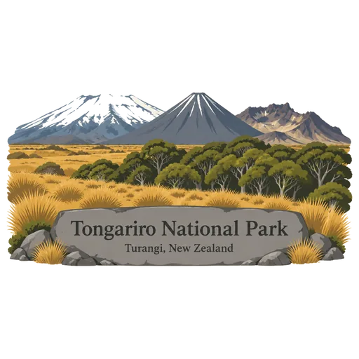
Tongariro National Park 16 km
The oldest national park in New Zealand, created in 1887 on the central North Island plateau. It protects three active volcanoes, Tongariro, Ngauruhoe and Ruapehu, and holds dual World Heritage status for its natural and Maori cultural values.
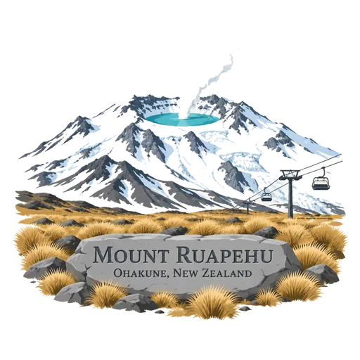
Mount Ruapehu 25 km
An active stratovolcano and the highest mountain on the North Island at 2,797 metres, at the southern end of the Taupo Volcanic Zone. It has a hot crater lake, and two commercial ski fields, Whakapapa and Turoa, share its slopes.
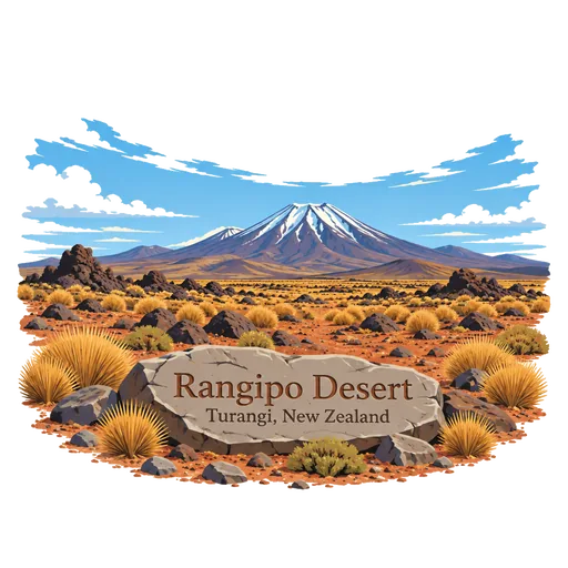
Rangipo Desert 26 km
A stony, dry plateau on the eastern side of the Tongariro volcanoes, known as Te Onetapu. Rain falls on it, but the volcanic soil drains so fast that only tussock and hardy shrubs grow, and the road crosses it as the Desert Road.
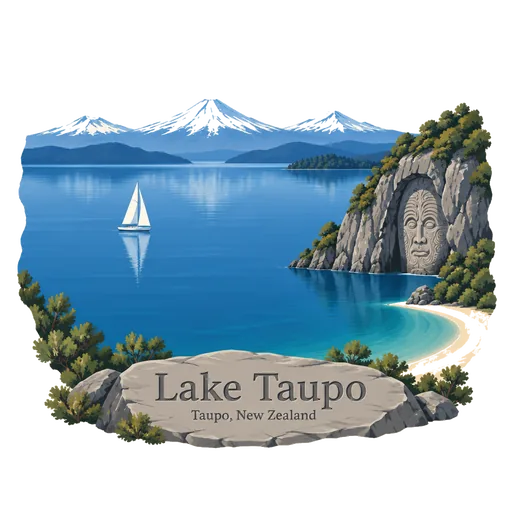
Lake Taupo 36 km
New Zealand's largest lake by area, filling the caldera of a supervolcano in the centre of the North Island. Its last major eruption, around 232 CE, was one of the most violent in the last 5,000 years, and the lake is now a famed trout fishery.
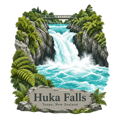
Huka Falls 60 km
A set of rapids and a drop on the Waikato River just north of Lake Taupo, where the river narrows from about 100 metres to 15. Around 220,000 litres of water pass through the chasm each second, and the water is a deep blue.
Whanganui National Park 76 km
A national park on the North Island established in 1986, covering 742 square kilometres along the Whanganui River. It protects lowland forest and steep valleys, and the river is a popular route for canoe and kayak journeys.
More UNESCO World Heritage sites in Manawatū-Whanganui
Questions
Where is Tongariro Alpine Crossing?
Tongariro Alpine Crossing is in Ohakune, Manawatū-Whanganui, New Zealand. The nearest other LOQAH stamps are Mount Tongariro (6.7 km), Mount Ngauruhoe (9.6 km), Tongariro National Park (16 km).
How do I get the Tongariro Alpine Crossing stamp?
Open LOQAH when you are at Tongariro Alpine Crossing and get its stamp. The app checks where you are once, at that moment, and the stamp goes into your Manawatū-Whanganui volume, confirmed on site, with the date.
I have been to Tongariro Alpine Crossing before. Can I still have the stamp?
Yes. Add it from Earlier trips in your Manawatū-Whanganui volume, with the date if you know it, or import your Google Timeline and LOQAH matches the places you were.
Collect your first stamp.
LOQAH is free on iPhone and Android, in India and 40 more countries, with more countries on the way. Stand at a place, collect its stamp, and keep every trip in a passport that grows.