

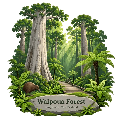
Waipoua Forest
A forest on the west coast of Northland that holds some of the best surviving stands of kauri trees in the country. Tane Mahuta and Te Matua Ngahere, the second largest kauri, grow here alongside others.
- Where
- Dargaville, Northland, New Zealand
- Grade
- Local gem
- Worth
- 10 points collected on site
- Coordinates
- -35.6145, 173.5578
Get the Waipoua Forest stamp
Open LOQAH when you are at Waipoua Forest. It checks where you are once, at that moment, and the stamp is yours: confirmed on site in gold and struck with the date. It goes into your Northland volume with your photos and a note.
Near Waipoua Forest
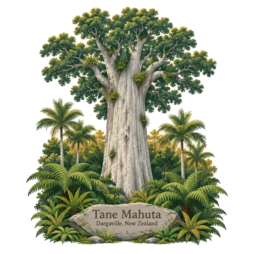
Tane Mahuta 3.1 km
The largest known living kauri tree in New Zealand, standing in the Waipoua Forest of Northland. Its name means Lord of the Forest, and it is estimated to be between 1,250 and 2,500 years old, with a trunk about 14 metres around.
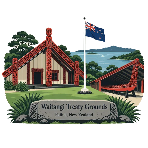
Waitangi Treaty Grounds 61 km
The estate on the Bay of Islands where the Treaty of Waitangi was first signed on 6 February 1840. The grounds hold the Treaty House, a large carved Maori meeting house and a huge war canoe, and the national day is marked here.
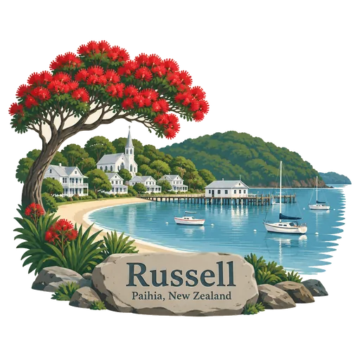
Russell 64 km
A small historic town in the Bay of Islands that began as Kororareka, once known as the Hell Hole of the Pacific. It has Christ Church, built in 1836 and the oldest surviving church in New Zealand, and the Pompallier mission house.
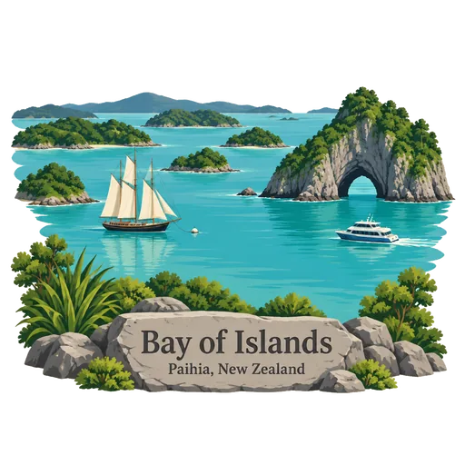
Bay of Islands 72 km
A sheltered bay on Northland's east coast scattered with more than 140 islands. It is where Maori and European history meet, and it is a popular place for sailing, fishing and dolphin watching.
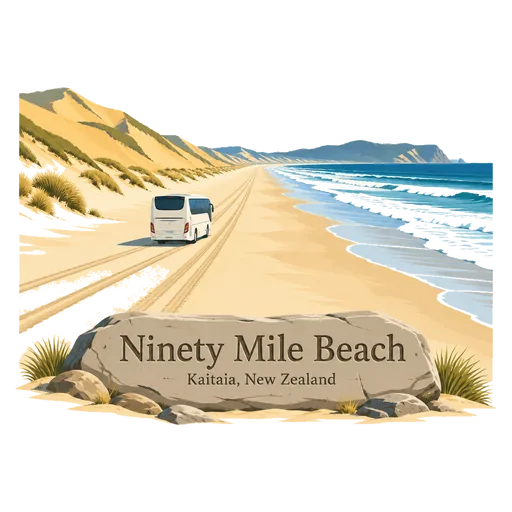
Ninety Mile Beach 107 km
A long, straight beach on the west coast of Northland that is actually about 88 kilometres. It is legally a public highway, and visitors can sandboard on the huge Te Paki dunes at its north end.
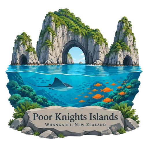
Poor Knights Islands 108 km
A group of rocky islands off Northland's east coast, about 20 kilometres from Tutukaka, ranked among the world's best diving locations. Jacques Cousteau declared it so in 1981, and visitors can see big arches, caves and sea life.
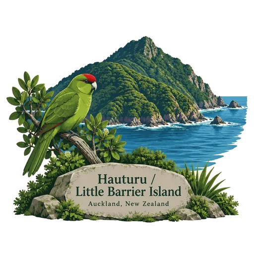
Hauturu / Little Barrier Island 152 km
An extinct volcano island in the outer Hauraki Gulf, a nature reserve since 1895. It has never had stoats, possums or deer, and is a refuge for the rare hihi and many seabirds. Only a few permits are given for visits.
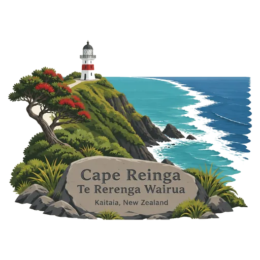
Cape Reinga / Te Rerenga Wairua 155 km
The north western tip of the Aupouri Peninsula, with a white lighthouse above the place where the Tasman Sea meets the Pacific. In Maori belief the spirits of the dead leave Aotearoa from here, descending an ancient pohutukawa to the underworld.
More hidden gems in Northland
Questions
Where is Waipoua Forest?
Waipoua Forest is in Dargaville, Northland, New Zealand. The nearest other LOQAH stamps are Tane Mahuta (3.1 km), Waitangi Treaty Grounds (61 km), Russell (64 km).
How do I get the Waipoua Forest stamp?
Open LOQAH when you are at Waipoua Forest and get its stamp. The app checks where you are once, at that moment, and the stamp goes into your Northland volume, confirmed on site, with the date.
I have been to Waipoua Forest before. Can I still have the stamp?
Yes. Add it from Earlier trips in your Northland volume, with the date if you know it, or import your Google Timeline and LOQAH matches the places you were.
Collect your first stamp.
LOQAH is free on iPhone and Android, in India and 40 more countries, with more countries on the way. Stand at a place, collect its stamp, and keep every trip in a passport that grows.