

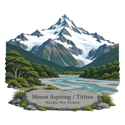
Mount Aspiring / Tititea
A pyramid shaped peak of 3,033 metres, the highest mountain in New Zealand outside Aoraki Mount Cook National Park. It sits at the heart of Mount Aspiring National Park, and was first climbed in 1909.
- Where
- Wanaka, Otago, New Zealand
- Grade
- Local gem
- Worth
- 10 points collected on site
- Coordinates
- -44.3840, 168.7280
Get the Mount Aspiring / Tititea stamp
Open LOQAH when you are at Mount Aspiring / Tititea. It checks where you are once, at that moment, and the stamp is yours: confirmed on site in gold and struck with the date. It goes into your Otago volume with your photos and a note.
Near Mount Aspiring / Tititea
Lake Wanaka 35 km
The fourth largest lake in New Zealand, set 300 metres above sea level among mountains in Otago. A willow tree growing out of the water near the town has become one of the country's most photographed trees.
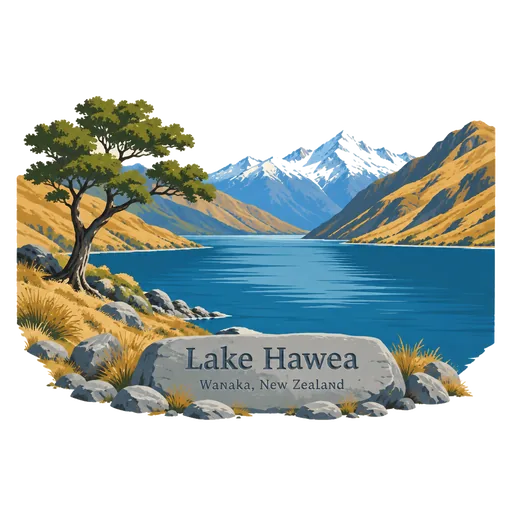
Lake Hawea 46 km
A long glacial lake in Otago, 348 metres above sea level, separated from Lake Wanaka by a narrow isthmus called The Neck. It is 392 metres deep and is a quieter lake than its neighbour.
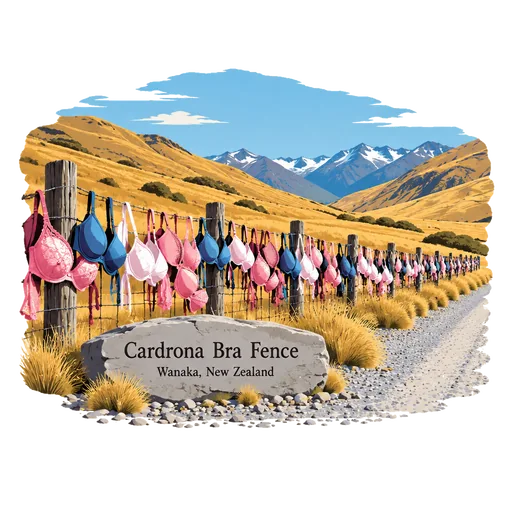
Cardrona Bra Fence 58 km
A roadside fence beside the Crown Range road in Central Otago, hung with hundreds of bras. It began in 1998 or 1999 when a few appeared on the wire, and it has since become a quirky stop and a way to raise funds for breast cancer causes.
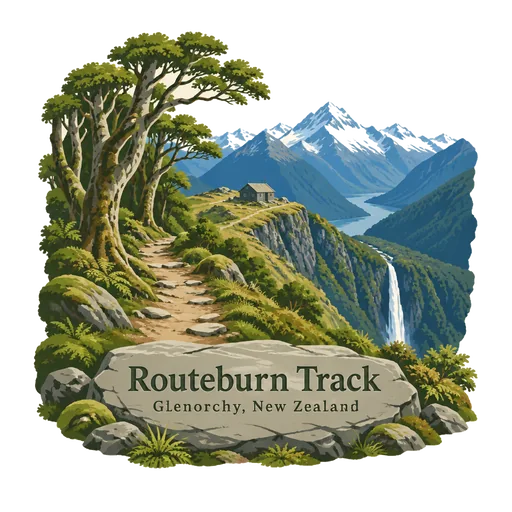
Routeburn Track 58 km
A 32 kilometre tramping track in the South Island that crosses the Southern Alps and can be walked in either direction. One end is near the head of Lake Wakatipu on the Queenstown side, and the other is on the Te Anau side.
Glenorchy 59 km
A small settlement at the head of Lake Wakatipu, 45 kilometres by road from Queenstown. It is the gateway to the Routeburn and Dart tracks and was a filming location for Lord of the Rings.
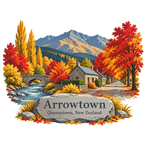
Arrowtown 63 km
A gold rush town on the Arrow River, 20 minutes from Queenstown, famous for its autumn colours. The main street keeps its 1860s miners' cottages, and the Chinese settlement beside the river shows how Chinese miners lived there.
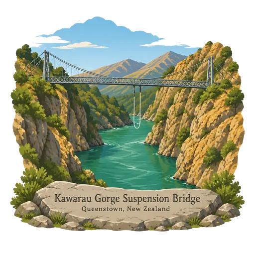
Kawarau Gorge Suspension Bridge 71 km
A suspension bridge over the Kawarau River in Otago, run by AJ Hackett Bungy. In 1988 it became the site of the world's first commercial bungy jumping, and visitors can still jump or simply watch from the viewing platform.
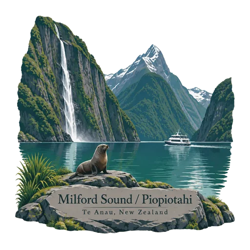
Milford Sound / Piopiotahi 73 km
A fiord in Fiordland National Park, carved by glaciers and lined with cliffs rising over a kilometre from the water. Mitre Peak and the Lady Bowen and Stirling Falls make it one of the most photographed places in New Zealand.


More hidden gems in Otago
Questions
Where is Mount Aspiring / Tititea?
Mount Aspiring / Tititea is in Wanaka, Otago, New Zealand. The nearest other LOQAH stamps are Lake Wanaka (35 km), Lake Hawea (46 km), Cardrona Bra Fence (58 km).
How do I get the Mount Aspiring / Tititea stamp?
Open LOQAH when you are at Mount Aspiring / Tititea and get its stamp. The app checks where you are once, at that moment, and the stamp goes into your Otago volume, confirmed on site, with the date.
I have been to Mount Aspiring / Tititea before. Can I still have the stamp?
Yes. Add it from Earlier trips in your Otago volume, with the date if you know it, or import your Google Timeline and LOQAH matches the places you were.
Collect your first stamp.
LOQAH is free on iPhone and Android, in India and 40 more countries, with more countries on the way. Stand at a place, collect its stamp, and keep every trip in a passport that grows.