

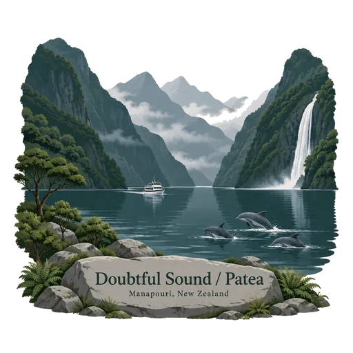
Doubtful Sound / Patea
A fiord in Fiordland, about three times longer than Milford Sound and far quieter. Captain Cook named it Doubtful Harbour in 1770 because he doubted he could sail out again. It is reached by boat across Lake Manapouri and then by road over Wilmot Pass.
- Where
- Manapouri, Southland, New Zealand
- Grade
- Local gem
- Worth
- 10 points collected on site
- Coordinates
- -45.3450, 167.0300
Get the Doubtful Sound / Patea stamp
Open LOQAH when you are at Doubtful Sound / Patea. It checks where you are once, at that moment, and the stamp is yours: confirmed on site in gold and struck with the date. It goes into your Southland volume with your photos and a note.
Near Doubtful Sound / Patea
Fiordland National Park 25 km
A vast national park in the south west corner of the South Island, covering 12,607 square kilometres and making it the largest in New Zealand. Deep glacier carved fiords such as Milford Sound and Doubtful Sound cut into its steep rainforest and mountains.
Kepler Track 39 km
A 60 kilometre circular hiking track near the town of Te Anau, within Fiordland National Park. The route crosses rocky mountain tops, beech forest, glacial valleys and the shores of Lake Te Anau and Lake Manapouri.
Te Wahipounamu 41 km
A World Heritage area covering about 2.6 million hectares in the south west of the South Island. It joins Fiordland, Aoraki Mount Cook, Westland Tai Poutini and Mount Aspiring national parks into one great stretch of glaciers, fiords and rainforest.
Lake Te Anau 62 km
The second largest lake in New Zealand by surface area, at the gateway to Fiordland. Glowworm caves on the western shore can be visited by boat, and the lake is the start of the Kepler and Milford tracks.
Lake Hauroko 71 km
The deepest lake in New Zealand at 462 metres, lying in a forested valley in Fiordland National Park. The lake, close to the south coast, is known to Maori as a place of burial for chiefs.
Sutherland Falls 82 km
A waterfall in Fiordland above Lake Quill, measured at 580 metres and made up of three drops. It can be seen from the Milford Track, and Donald Sutherland, who found it in 1880, gave it its name.
Mitre Peak 102 km
A sharp mountain that rises 1,692 metres straight out of Milford Sound, so named because its summit looks like a bishop's mitre. It is the most photographed peak in Fiordland, and was first climbed in 1911.
Milford Sound / Piopiotahi 104 km
A fiord in Fiordland National Park, carved by glaciers and lined with cliffs rising over a kilometre from the water. Mitre Peak and the Lady Bowen and Stirling Falls make it one of the most photographed places in New Zealand.





More hidden gems in Southland
Questions
Where is Doubtful Sound / Patea?
Doubtful Sound / Patea is in Manapouri, Southland, New Zealand. The nearest other LOQAH stamps are Fiordland National Park (25 km), Kepler Track (39 km), Te Wahipounamu (41 km).
How do I get the Doubtful Sound / Patea stamp?
Open LOQAH when you are at Doubtful Sound / Patea and get its stamp. The app checks where you are once, at that moment, and the stamp goes into your Southland volume, confirmed on site, with the date.
I have been to Doubtful Sound / Patea before. Can I still have the stamp?
Yes. Add it from Earlier trips in your Southland volume, with the date if you know it, or import your Google Timeline and LOQAH matches the places you were.
Collect your first stamp.
LOQAH is free on iPhone and Android, in India and 40 more countries, with more countries on the way. Stand at a place, collect its stamp, and keep every trip in a passport that grows.