

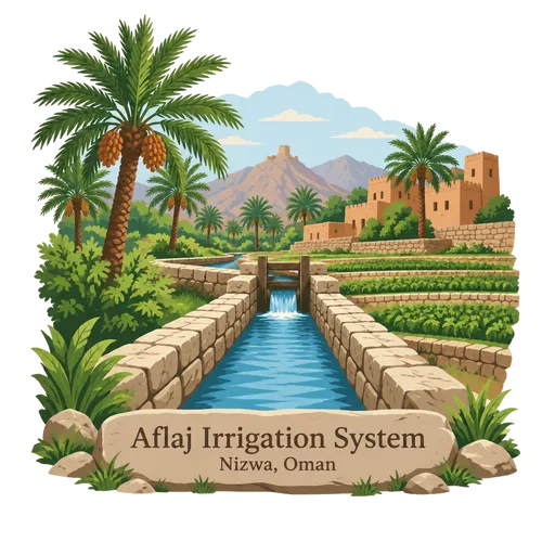
Aflaj Irrigation System
A set of ancient channels that carry water from springs and underground sources to fields and villages across Oman. The systems date from about AD 500, and several, including Falaj Daris near Nizwa, are still shared out by traditional timetables.
- Where
- Nizwa, Ad Dakhiliyah, Oman
- Grade
- UNESCO heritage
- Worth
- 10 points collected on site, plus 8 for its grade
- Coordinates
- 22.9989, 57.5361
Get the Aflaj Irrigation System stamp
Open LOQAH when you are at Aflaj Irrigation System. It checks where you are once, at that moment, and the stamp is yours: confirmed on site in gold and struck with the date. It goes into your Ad Dakhiliyah volume with your photos and a note.
Near Aflaj Irrigation System
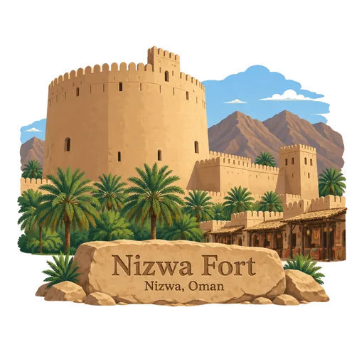
Nizwa Fort 7.3 km
A 17th century fortress in the heart of Nizwa, built in the 1650s under Imam Sultan bin Saif. Its huge round tower, with walls several metres thick, is the landmark of the old capital, and visitors climb to the roof for views over the palm groves.
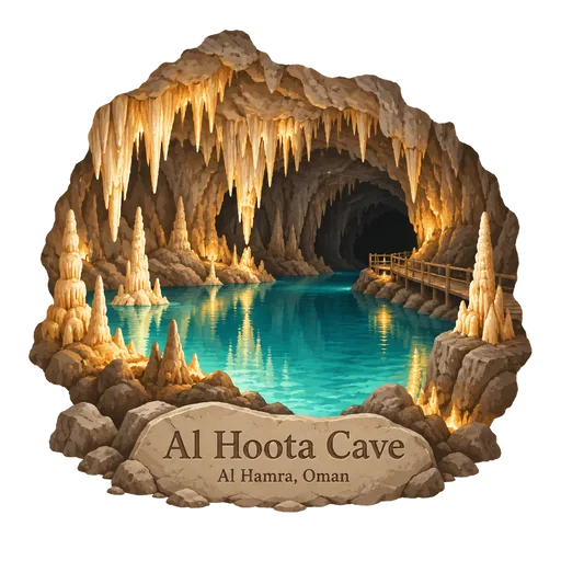
Al Hoota Cave 21 km
A show cave of about 5 kilometres in the mountain near Al Hamra, with lakes, stalactites and stalagmites. Local people have known it for centuries, and visitors enter on a small train and then walk on a marked path.
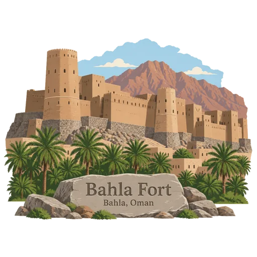
Bahla Fort 24 km
A mud brick fortress with stone foundations at the foot of the Jebel Akhdar, on the edge of the oasis town of Bahla. It was the first monument in Oman to be listed by UNESCO, in 1987, and its walls and towers stretch around the old town.
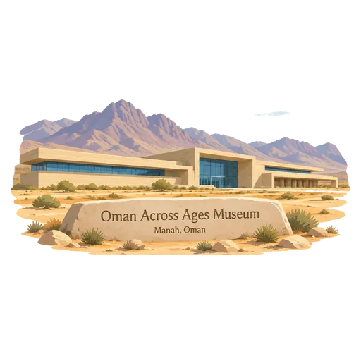
Oman Across Ages Museum 25 km
A national museum in the interior of Oman, whose foundation stone was laid by Sultan Qaboos bin Said in 2015. It was designed by Cox Architects and inaugurated by Sultan Haitham bin Tariq in 2023, telling the story of Oman from prehistory to the present.
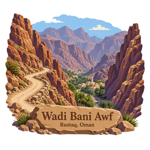
Wadi Bani Awf 28 km
A wadi in the Hajar Mountains linking the Dakhiliyah and Batinah regions, with a rough mountain road. It runs past small villages, palm groves and deep gorges, and is known for off road driving.
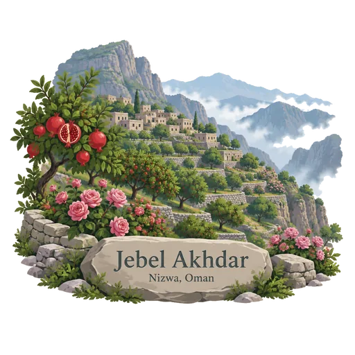
Jebel Akhdar 33 km
A high plateau in the Hajar Mountains, about 80 kilometres long, known as the Green Mountain. Its terraced villages grow pomegranates, apricots and roses, and the cooler air makes it a retreat from the summer heat below.
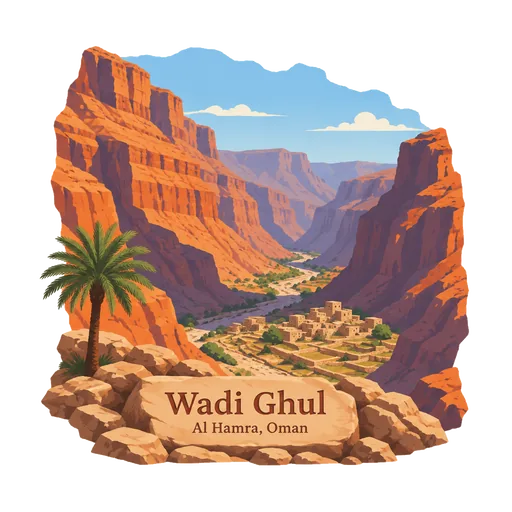
Wadi Ghul 37 km
A deep canyon below Jebel Shams, near Al Hamra, with an abandoned village on its floor. It is often called the Grand Canyon of Arabia, and its sides fall away for around a thousand metres.
Jebel Shams 38 km
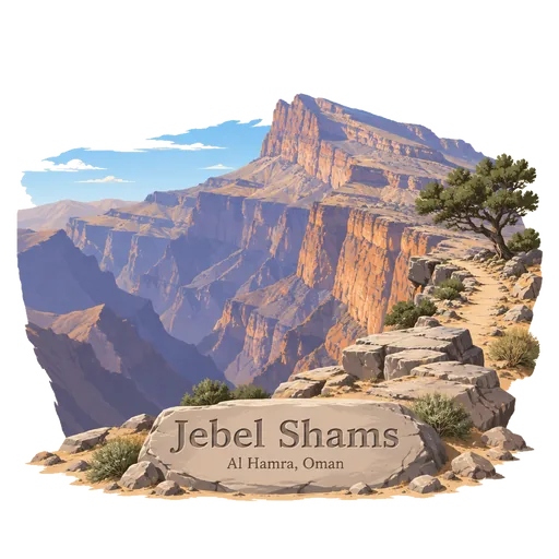
The highest mountain in Oman, at about 3,000 metres, in the Hajar range above the town of Al Hamra. A rim walk follows the edge of Wadi Ghul, a canyon often compared with the Grand Canyon.
More UNESCO World Heritage sites in Ad Dakhiliyah
Questions
Where is Aflaj Irrigation System?
Aflaj Irrigation System is in Nizwa, Ad Dakhiliyah, Oman. The nearest other LOQAH stamps are Nizwa Fort (7.3 km), Al Hoota Cave (21 km), Bahla Fort (24 km).
How do I get the Aflaj Irrigation System stamp?
Open LOQAH when you are at Aflaj Irrigation System and get its stamp. The app checks where you are once, at that moment, and the stamp goes into your Ad Dakhiliyah volume, confirmed on site, with the date.
I have been to Aflaj Irrigation System before. Can I still have the stamp?
Yes. Add it from Earlier trips in your Ad Dakhiliyah volume, with the date if you know it, or import your Google Timeline and LOQAH matches the places you were.
Collect your first stamp.
LOQAH is free on iPhone and Android, in India and 40 more countries, with more countries on the way. Stand at a place, collect its stamp, and keep every trip in a passport that grows.