

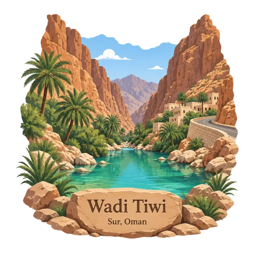
Wadi Tiwi
A narrow canyon about 40 kilometres north of Sur, in the Ash Sharqiyah region, where the Hajar Mountains reach the sea. A road runs between steep cliffs, with villages, date palms and green pools along the stream bed.
- Where
- Sur, South Ash Sharqiyah, Oman
- Grade
- Local gem
- Worth
- 10 points collected on site
- Coordinates
- 22.8261, 59.2580
Get the Wadi Tiwi stamp
Open LOQAH when you are at Wadi Tiwi. It checks where you are once, at that moment, and the stamp is yours: confirmed on site in gold and struck with the date. It goes into your South Ash Sharqiyah volume with your photos and a note.
Near Wadi Tiwi
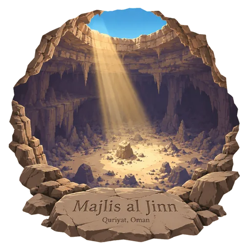
Majlis al Jinn 17 km
A vast cave chamber on the Selma plateau, among the ten largest cave chambers in the world by floor area. Visitors look down into it through openings in the plateau, and it can be entered only with permission and special equipment.
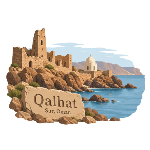
Qalhat 18 km
The ruins of a medieval port city on the coast north of Sur. It was a major trading centre for Hormuz and the Indian Ocean, and its best known surviving building is the tomb of Bibi Maryam.
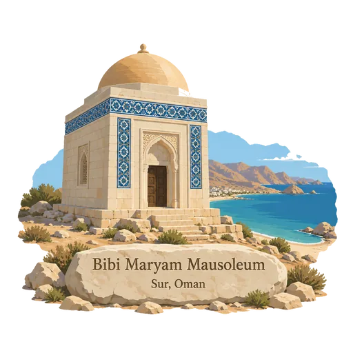
Bibi Maryam Mausoleum 19 km
An early 14th century tomb in the ancient port of Qalhat, near Sur. It is the only fully surviving building of the old city, and its tiled decoration and carved doorway show the city's links with Persian Gulf trade.
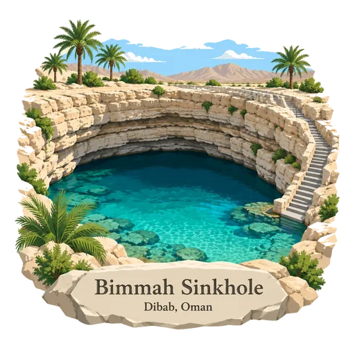
Bimmah Sinkhole 30 km
A water filled limestone sinkhole in eastern Muscat Governorate, just off the highway to Sur. The turquoise pool is roughly 40 metres across and 20 metres deep, and visitors swim in it from steps cut into the rim.
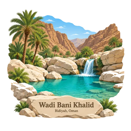
Wadi Bani Khalid 31 km
A wadi in eastern Oman with turquoise pools and large boulders, fed by a spring that runs all year. It lies on the way to the Wahiba Sands and is a popular place to swim and walk.
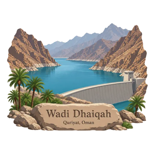
Wadi Dhaiqah 49 km
A canyon east of Muscat, used for a large dam which gathers water from the Hajar Mountains. The reservoir lies amid rocky slopes and is a quiet stop for visitors from the capital.
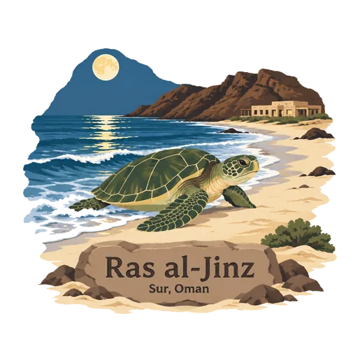
Ras al-Jinz 73 km
The easternmost point of the Arabian Peninsula, in Ash Sharqiyah South Governorate. Its beach is one of the main nesting sites of the green turtle, and a reserve with a visitor centre runs guided night walks to watch females come ashore to lay eggs.
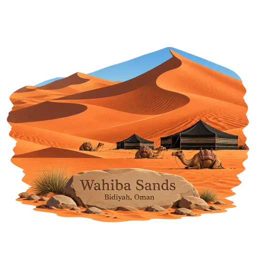
Wahiba Sands 102 km
A sea of red and orange dunes in eastern Oman, named after the Bani Wahiba tribe. It measures roughly 180 kilometres from north to south, and tourist camps and Bedouin households lie among its dunes.
Questions
Where is Wadi Tiwi?
Wadi Tiwi is in Sur, South Ash Sharqiyah, Oman. The nearest other LOQAH stamps are Majlis al Jinn (17 km), Qalhat (18 km), Bibi Maryam Mausoleum (19 km).
How do I get the Wadi Tiwi stamp?
Open LOQAH when you are at Wadi Tiwi and get its stamp. The app checks where you are once, at that moment, and the stamp goes into your South Ash Sharqiyah volume, confirmed on site, with the date.
I have been to Wadi Tiwi before. Can I still have the stamp?
Yes. Add it from Earlier trips in your South Ash Sharqiyah volume, with the date if you know it, or import your Google Timeline and LOQAH matches the places you were.
Collect your first stamp.
LOQAH is free on iPhone and Android, in India and 40 more countries, with more countries on the way. Stand at a place, collect its stamp, and keep every trip in a passport that grows.