

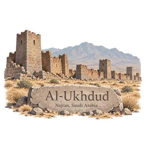
Al-Ukhdud
The ruins of an ancient South Arabian town southeast of Najran, dating back to at least 500 BCE. It was a hub for trade routes across the peninsula, and visitors walk among its stone walls, foundations and rock inscriptions.
- Where
- Najran, Saudi Arabia
- Grade
- Local gem
- Worth
- 10 points collected on site
- Coordinates
- 17.4917, 44.1322
Get the Al-Ukhdud stamp
Open LOQAH when you are at Al-Ukhdud. It checks where you are once, at that moment, and the stamp is yours: confirmed on site in gold and struck with the date. It goes into your Najran volume with your photos and a note.
Near Al-Ukhdud
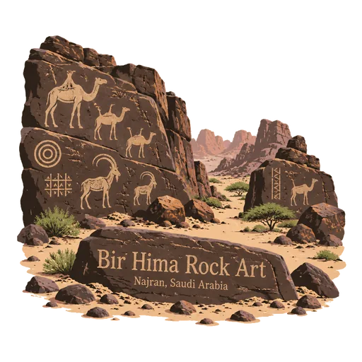
Bir Hima Rock Art 91 km
A rock art site about 120 km north of Najran, where cliffs and boulders carry thousands of petroglyphs and inscriptions. They record hunting scenes, animals and caravans across several thousand years, and the site is a UNESCO World Heritage Site.
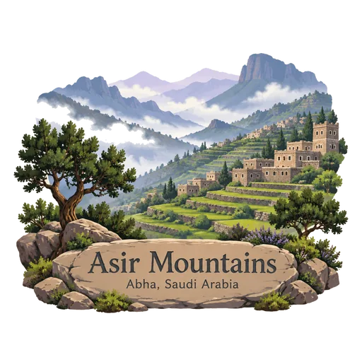
Asir Mountains 201 km
A mountain range in southwest Saudi Arabia running parallel to the Red Sea, with cool air, summer rain and terraced hillsides. Stone villages, juniper forests and cable cars attract visitors, and the city of Abha lies at its heart.
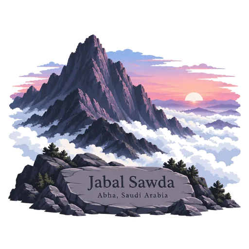
Jabal Sawda 206 km
The officially recognised highest point in Saudi Arabia, a peak in the Sarawat mountains of the southwest, listed at 3,015 metres. Its cool, misty summit sits above juniper forest, and the road to the top offers wide views over the Asir escarpment.
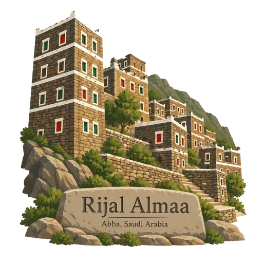
Rijal Almaa 212 km
A heritage village about 50 km west of Abha in the Asir mountains, more than 900 years old. Its tall stone towers are striped with layers of quartz and slate, and they once guarded a trade route, with some now opened as small museums.
Farasan Islands 254 km
An archipelago in the Red Sea about 40 km off the coast of Jazan, with coral reefs, mangroves and a protected area for gazelles. The main island has old coral stone houses, an Ottoman fort and ancient inscriptions near the town of Farasan.
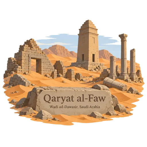
Qaryat al-Faw 276 km
The ruins of a caravan city on the edge of the Empty Quarter, about 100 km south of Wadi ad-Dawasir. It was once the capital of the Kingdom of Kinda, and its houses, market, temple and tombs make it a UNESCO World Heritage Site.
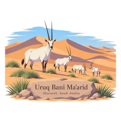
Uruq Bani Ma'arid 278 km
A protected area on the western edge of the Rub' al Khali, the largest sandy desert in the world. Its dune ridges shelter reintroduced Arabian oryx and sand gazelle, and it is a UNESCO World Heritage Site for its natural value.
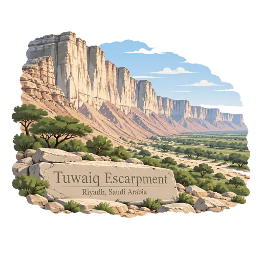
Tuwaiq Escarpment 294 km
A long limestone escarpment that cuts through the central plateau for about 800 km. Near Riyadh its sheer cliffs give wide views over the plain below, and a viewpoint known as the Edge of the World is a popular stop.

Questions
Where is Al-Ukhdud?
Al-Ukhdud is in Najran, Saudi Arabia. The nearest other LOQAH stamps are Bir Hima Rock Art (91 km), Asir Mountains (201 km), Jabal Sawda (206 km).
How do I get the Al-Ukhdud stamp?
Open LOQAH when you are at Al-Ukhdud and get its stamp. The app checks where you are once, at that moment, and the stamp goes into your Najran volume, confirmed on site, with the date.
I have been to Al-Ukhdud before. Can I still have the stamp?
Yes. Add it from Earlier trips in your Najran volume, with the date if you know it, or import your Google Timeline and LOQAH matches the places you were.
Collect your first stamp.
LOQAH is free on iPhone and Android, in India and 40 more countries, with more countries on the way. Stand at a place, collect its stamp, and keep every trip in a passport that grows.