

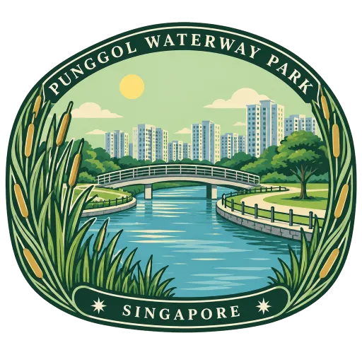
Punggol Waterway Park
A 12-hectare riverine park along Sentul Crescent in Punggol, following the man-made Punggol Waterway through the new town. It is laid out in four themed areas, with lawns, play spaces and promenades by the water.
- Where
- Singapore, Singapore
- Grade
- Local gem
- Worth
- 10 points collected on site
- Coordinates
- 1.4144, 103.9031
Get the Punggol Waterway Park stamp
Open LOQAH when you are at Punggol Waterway Park. It checks where you are once, at that moment, and the stamp is yours: confirmed on site in gold and struck with the date. It goes into your Singapore volume with your photos and a note.
Near Punggol Waterway Park
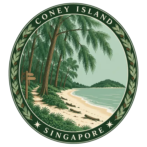
Coney Island 2.2 km
A 133-hectare island off Punggol in the north-east, joined to the mainland by bridges and left largely wild. Its trails run through casuarina woods and along quiet beaches, between Pulau Ubin and the mainland.
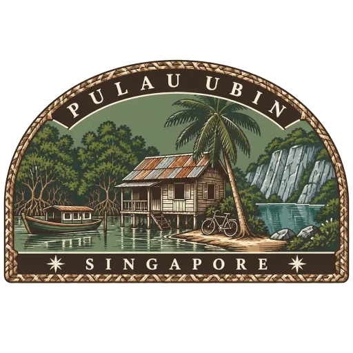
Pulau Ubin 6.8 km
An island off Singapore's north-east coast, one of the last places in the country with a kampong village and dirt tracks. Bumboats cross from Changi, and people hire bicycles to ride past old granite quarries to the Chek Jawa wetlands.
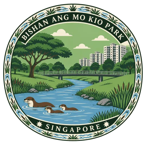
Bishan-Ang Mo Kio Park 9.4 km
A large park in the heartland between Bishan and Ang Mo Kio, with the Kallang River running through its middle. The river's old concrete canal was replaced with a winding stream and grassy banks, where families paddle and otters are often seen.
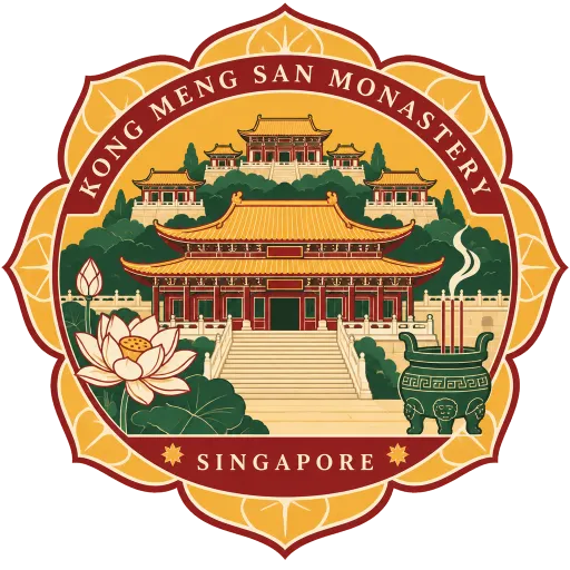
Kong Meng San Phor Kark See Monastery 9.5 km
The largest Buddhist temple and monastery in Singapore, on Bright Hill Road in Bishan, which is why most people simply call it Bright Hill Temple. Its grounds spread across a hillside of prayer halls, and on Vesak Day devotees circle it in a slow pilgrimage of three steps and a bow.
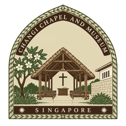
Changi Chapel and Museum 9.8 km
A museum in Changi on the lives of the prisoners of war held in the Changi camp during the Japanese occupation. At its centre is a replica of one of the simple chapels the prisoners built, alongside copies of the murals some of them painted.
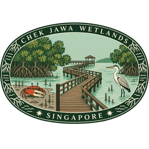
Chek Jawa Wetlands 9.9 km
A 100-hectare wetland at the south-eastern tip of Pulau Ubin, among the last places in Singapore with a natural rocky shore. Boardwalks lead through mangroves and out over the sea, and low tide uncovers flats full of shore life.
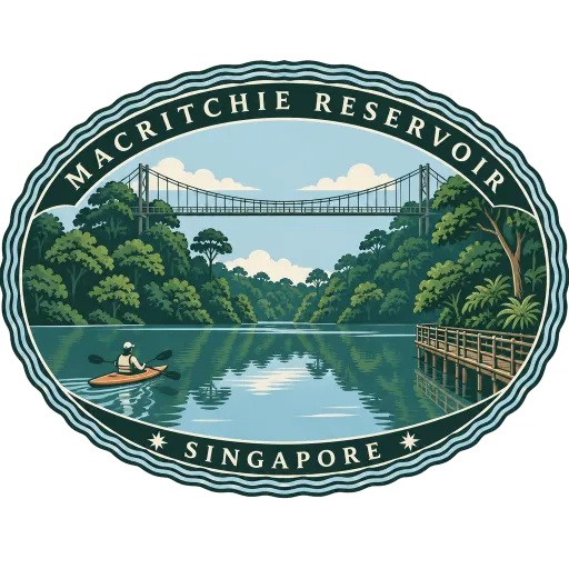
MacRitchie Reservoir 11 km
Singapore's oldest reservoir and its first water supply, mostly finished in 1867 and named after the engineer James MacRitchie in 1922. Forest trails and boardwalks run around its shores, and the TreeTop Walk suspension bridge crosses the canopy nearby.
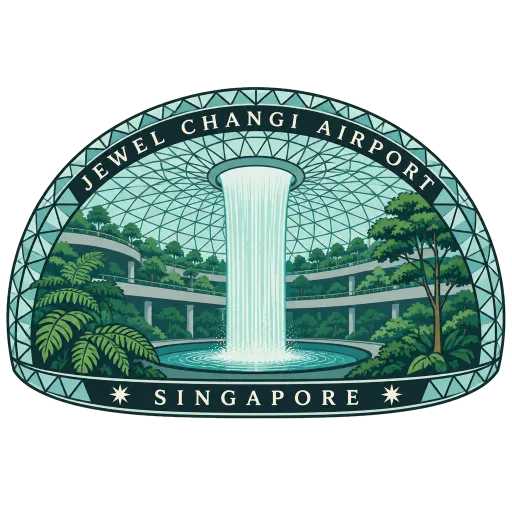
Jewel Changi Airport 11 km
A glass dome linked to Terminals 1, 2 and 3 of Changi Airport, holding a terraced indoor forest and about 300 shops and restaurants. At its centre the Rain Vortex falls from an opening in the roof, the world's tallest indoor waterfall.
More hidden gems in Singapore
Questions
Where is Punggol Waterway Park?
Punggol Waterway Park is in Singapore, Singapore. The nearest other LOQAH stamps are Coney Island (2.2 km), Pulau Ubin (6.8 km), Bishan-Ang Mo Kio Park (9.4 km).
How do I get the Punggol Waterway Park stamp?
Open LOQAH when you are at Punggol Waterway Park and get its stamp. The app checks where you are once, at that moment, and the stamp goes into your Singapore volume, confirmed on site, with the date.
I have been to Punggol Waterway Park before. Can I still have the stamp?
Yes. Add it from Earlier trips in your Singapore volume, with the date if you know it, or import your Google Timeline and LOQAH matches the places you were.
Collect your first stamp.
LOQAH is free on iPhone and Android, in India and 20 more countries, with more countries on the way. Stand at a place, collect its stamp, and keep every trip in a passport that grows.