

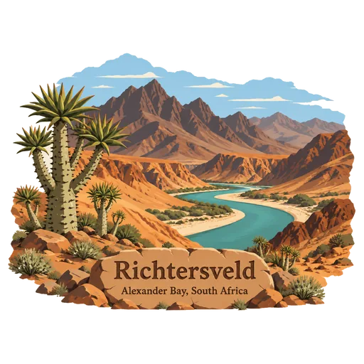
Richtersveld
A rugged desert landscape of mountains and dry gorges in the far north west, in a bend of the Orange River on the Namibian border. Nama herders still move their livestock seasonally here, and the Richtersveld was listed by UNESCO as a cultural landscape in 2007.
- Where
- Alexander Bay, Northern Cape, South Africa
- Grade
- UNESCO heritage
- Worth
- 10 points collected on site, plus 8 for its grade
- Coordinates
- -28.6000, 17.2039
Get the Richtersveld stamp
Open LOQAH when you are at Richtersveld. It checks where you are once, at that moment, and the stamp is yours: confirmed on site in gold and struck with the date. It goes into your Northern Cape volume with your photos and a note.
Near Richtersveld
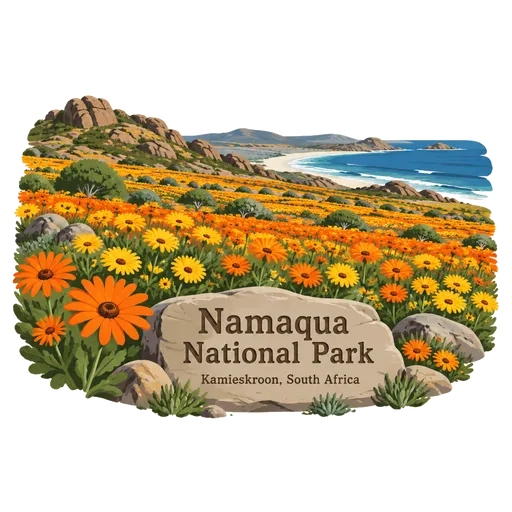
Namaqua National Park 165 km
A national park on the Atlantic edge of Namaqualand, in a biodiversity hotspot with the largest concentration of succulent plants in the world. In spring the dry land is covered by wildflowers.
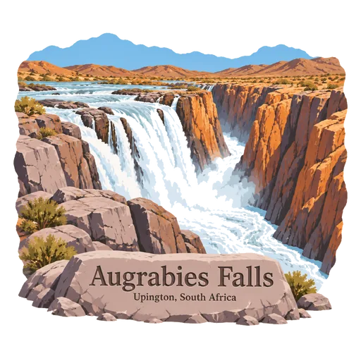
Augrabies Falls 306 km
A waterfall on the Orange River in the Northern Cape, where the river drops about 56 metres into a granite gorge some 240 metres deep. It lies inside Augrabies Falls National Park, and the name comes from a Khoikhoi word for the place of great noise.
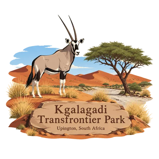
Kgalagadi Transfrontier Park 445 km
A vast park of red dunes and dry riverbeds on the border with Botswana, where South Africa's Kalahari Gemsbok National Park joins Botswana's Gemsbok National Park. It is known for black maned lions, cheetahs, gemsbok, and camps along the Nossob and Auob river beds.
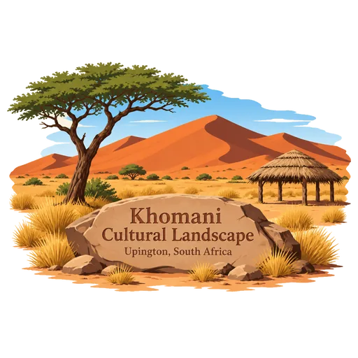
Khomani Cultural Landscape 451 km
A stretch of red Kalahari dunes in the far north of the Northern Cape, home to the Khomani San people. It was listed by UNESCO in 2017 for the way their culture, language and knowledge of the desert have continued through generations.
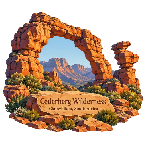
Cederberg Wilderness 452 km
A rugged range of orange sandstone peaks north of Cape Town, known for odd rock formations such as the Wolfberg Arch and Maltese Cross. It has hiking trails, ancient San rock paintings and the rare Clanwilliam cedar, which gives the range its name.
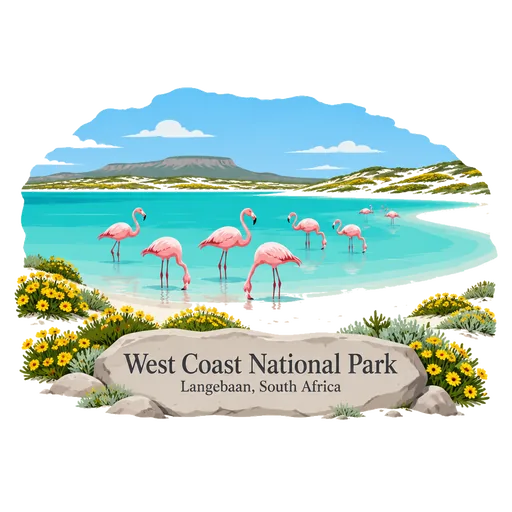
West Coast National Park 510 km
A coastal park 88 km north of Cape Town, built around the Langebaan Lagoon inside the Cape West Coast Biosphere Reserve. It is a major wetland for migrant birds, and wildflowers carpet the hills in spring.
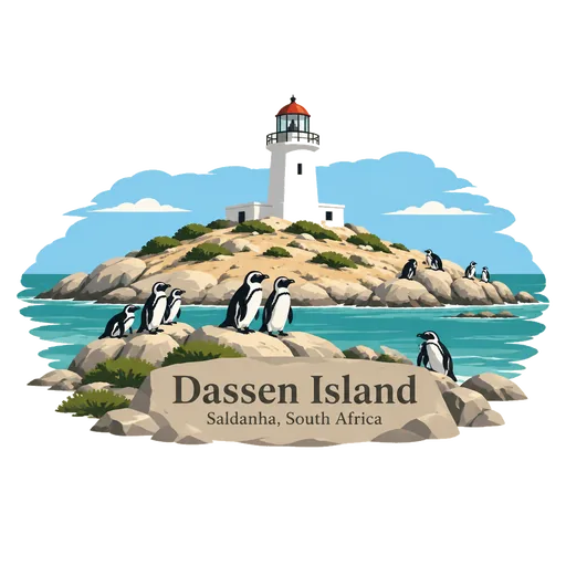
Dassen Island 543 km
A flat low island off the west coast, about 9 kilometres from the mainland, with a lighthouse built in 1893. It is a nature reserve and breeding site for African penguins, and access is limited to researchers and managers.
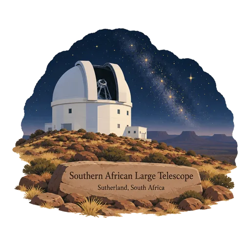
Southern African Large Telescope 544 km
The largest single optical telescope in the southern hemisphere, with a mirror 11 metres across, on a dry hill near Sutherland in the Karoo. It began work in 2005 and the site has tours by day and stargazing events in the dark night sky.
More UNESCO World Heritage sites in Northern Cape
Questions
Where is Richtersveld?
Richtersveld is in Alexander Bay, Northern Cape, South Africa. The nearest other LOQAH stamps are Namaqua National Park (165 km), Augrabies Falls (306 km), Kgalagadi Transfrontier Park (445 km).
How do I get the Richtersveld stamp?
Open LOQAH when you are at Richtersveld and get its stamp. The app checks where you are once, at that moment, and the stamp goes into your Northern Cape volume, confirmed on site, with the date.
I have been to Richtersveld before. Can I still have the stamp?
Yes. Add it from Earlier trips in your Northern Cape volume, with the date if you know it, or import your Google Timeline and LOQAH matches the places you were.
Collect your first stamp.
LOQAH is free on iPhone and Android, in India and 40 more countries, with more countries on the way. Stand at a place, collect its stamp, and keep every trip in a passport that grows.