

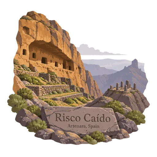
Risco Caído
A rocky landscape in the mountains of Gran Canaria with caves that were used by the island's original inhabitants before the Spanish conquest. One of them is a carved chamber where light from the sun and moon entered through a small opening.
- Where
- Artenara, Canary Islands, Spain
- Grade
- UNESCO heritage
- Worth
- 10 points collected on site, plus 8 for its grade
- Coordinates
- 28.0436, -15.6613
Get the Risco Caído stamp
Open LOQAH when you are at Risco Caído. It checks where you are once, at that moment, and the stamp is yours: confirmed on site in gold and struck with the date. It goes into your Canary Islands volume with your photos and a note.
Near Risco Caído
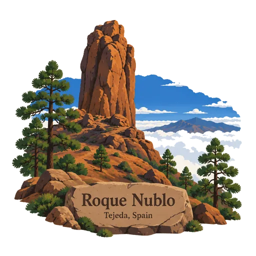
Roque Nublo 9.4 km
A volcanic rock on the island of Gran Canaria, 80 metres tall, with its top 1,813 metres above sea level. It is the third highest point on the island. A walking trail leads up to the base of the rock.
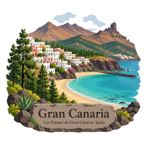
Gran Canaria 12 km
A round volcanic island in the Canaries and the third largest of the archipelago. It has sand dunes at Maspalomas, mountain villages and the large city of Las Palmas. Its mountainous middle rises to nearly 2,000 metres.
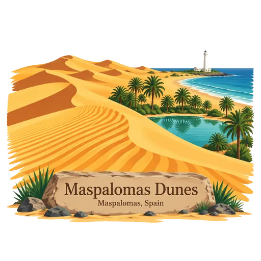
Maspalomas Dunes 34 km
Sand dunes on the south coast of Gran Canaria, in an area of 404 hectares in the municipality of San Bartolomé de Tirajana. They are protected as a nature reserve. The dunes run down to the sea beside a lagoon and a long beach.
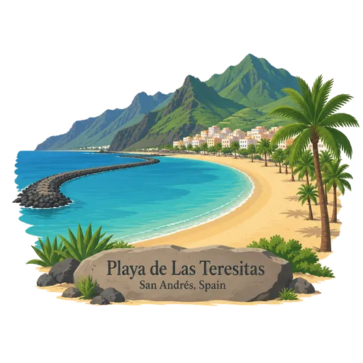
Playa de Las Teresitas 73 km
An artificial white sand beach north of the village of San Andrés, near Santa Cruz de Tenerife on Tenerife. The sand was brought from the Sahara. Breakwaters shelter the calm water in front of the Anaga mountains.
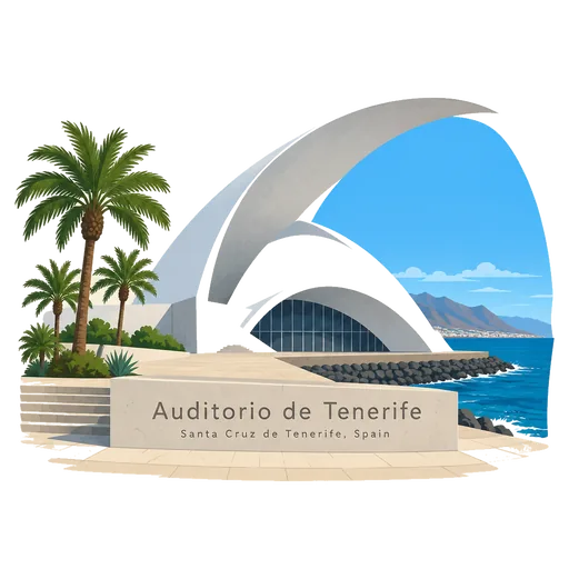
Auditorio de Tenerife 74 km
A concert hall on the waterfront of Santa Cruz, designed by Santiago Calatrava and opened in 2003. Its white concrete roof curves out like a wave, and it is the city's best known modern landmark.
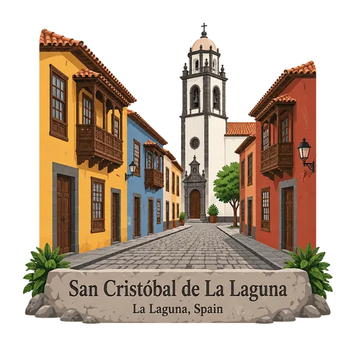
San Cristóbal de La Laguna 81 km
A former capital of Tenerife, laid out in the late 15th century on a regular grid of straight streets. It served as a model for colonial towns in the Americas, and its old centre is lined with colourful houses, churches and convents.
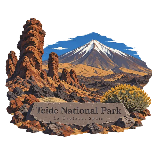
Teide National Park 97 km
A high volcanic landscape on Tenerife centred on Mount Teide, with lava fields, strange rock formations and a huge caldera. The air is clear and thin at over 2,000 metres, and a cable car carries visitors close to the summit.
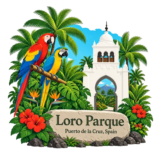
Loro Parque 97 km
A zoo and parrot park on the northern coast of Tenerife, covering about 13.5 hectares. It began as a collection of parrots, and now includes dolphins, orcas, penguins and an aquarium with a glass tunnel.
More UNESCO World Heritage sites in Canary Islands
Questions
Where is Risco Caído?
Risco Caído is in Artenara, Canary Islands, Spain. The nearest other LOQAH stamps are Roque Nublo (9.4 km), Gran Canaria (12 km), Maspalomas Dunes (34 km).
How do I get the Risco Caído stamp?
Open LOQAH when you are at Risco Caído and get its stamp. The app checks where you are once, at that moment, and the stamp goes into your Canary Islands volume, confirmed on site, with the date.
I have been to Risco Caído before. Can I still have the stamp?
Yes. Add it from Earlier trips in your Canary Islands volume, with the date if you know it, or import your Google Timeline and LOQAH matches the places you were.
Collect your first stamp.
LOQAH is free on iPhone and Android, in India and 40 more countries, with more countries on the way. Stand at a place, collect its stamp, and keep every trip in a passport that grows.