


Glarus Thrust
A great fault in the eastern Swiss Alps where older rock was pushed more than 100 kilometres north over younger layers. The line between them shows clearly as a stripe across the cliffs of the Tschingelhörner, part of the Swiss Tectonic Arena Sardona World Heritage Site.
- Where
- Flims, Graubünden, Switzerland
- Grade
- UNESCO heritage
- Worth
- 10 points collected on site, plus 8 for its grade
- Coordinates
- 46.9167, 9.2500
Get the Glarus Thrust stamp
Open LOQAH when you are at Glarus Thrust. It checks where you are once, at that moment, and the stamp is yours: confirmed on site in gold and struck with the date. It goes into your Graubünden volume with your photos and a note.
Near Glarus Thrust
Caumasee 11 km
A forest lake near Flims sitting on the deposits of the great Flims rockslide. It is fed from underground springs, which give its water a clear turquoise colour, and in summer it is a favourite place to swim.
Ruinaulta 13 km
The Rhine Gorge, a canyon of pale cliffs cut by the Anterior Rhine between Ilanz and Reichenau. It was carved through the debris of the prehistoric Flims rockslide, which once blocked the river, and a railway and rafts follow the water through it.
Walensee 23 km
One of the larger lakes of eastern Switzerland, two thirds in the canton of St. Gallen and one third in Glarus. Its northern shore is walled in by the sheer cliffs of the Churfirsten, which drop almost straight into the water.
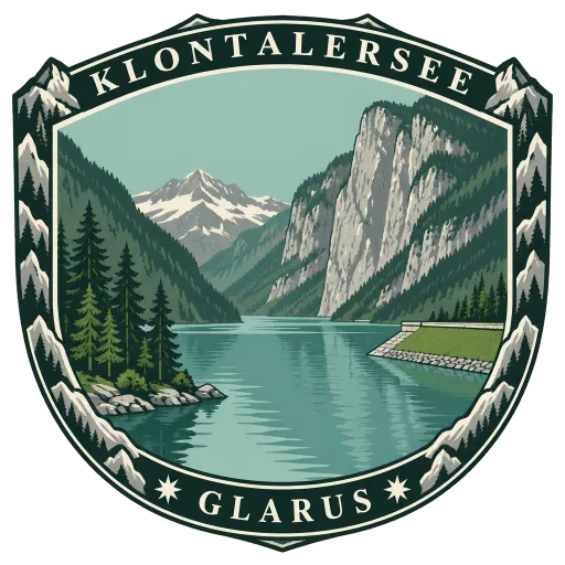
Klöntalersee 24 km
A natural lake in the Klöntal valley above Glarus, formed by a rockslide and walled in by steep mountains. Since 1908 it has also served as a reservoir, held by an earth dam that feeds a hydroelectric station near Netstal.
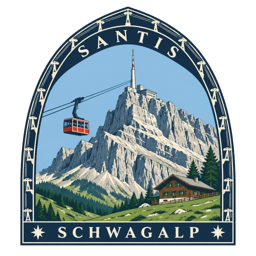
Säntis 38 km
At 2,502 metres the highest peak of the Alpstein massif and of the whole Appenzell Alps, shared by three cantons. Its exposed northerly position makes it visible from far away, and a cable car climbs to the summit from the Schwägalp pass.
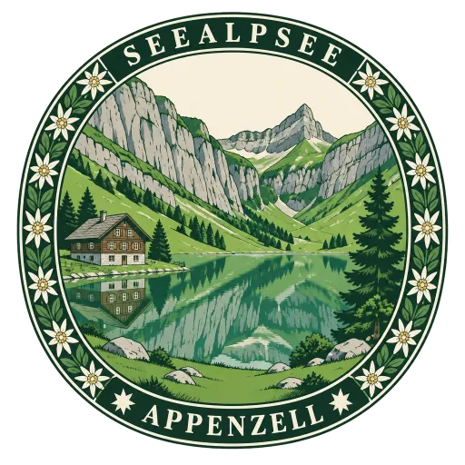
Seealpsee 41 km
A small mountain lake in the Alpstein range at about 1,143 metres, reached on foot from Wasserauen or down from Ebenalp. Footpaths link it to the cave chapel of Wildkirchli and on toward Säntis, and it supplies water and power to the town of Appenzell.
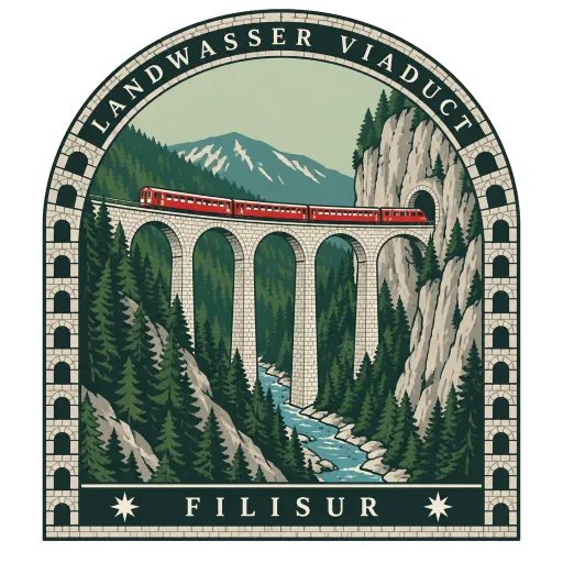
Landwasser Viaduct 42 km
A curved limestone railway viaduct of six arches spanning the Landwasser river between Schmitten and Filisur, opened in 1902 on the Albula line. Trains run straight off it into a tunnel cut in the cliff face, a view familiar from countless posters.
Einsiedeln Abbey 44 km
A Catholic Benedictine monastery in the village of Einsiedeln, for centuries one of the great pilgrimage places of Europe. Its Baroque church holds the chapel of the Black Madonna, and the abbey also keeps a historic library.




Questions
Where is Glarus Thrust?
Glarus Thrust is in Flims, Graubünden, Switzerland. The nearest other LOQAH stamps are Caumasee (11 km), Ruinaulta (13 km), Walensee (23 km).
How do I get the Glarus Thrust stamp?
Open LOQAH when you are at Glarus Thrust and get its stamp. The app checks where you are once, at that moment, and the stamp goes into your Graubünden volume, confirmed on site, with the date.
I have been to Glarus Thrust before. Can I still have the stamp?
Yes. Add it from Earlier trips in your Graubünden volume, with the date if you know it, or import your Google Timeline and LOQAH matches the places you were.
Collect your first stamp.
LOQAH is free on iPhone and Android, in India and 20 more countries, with more countries on the way. Stand at a place, collect its stamp, and keep every trip in a passport that grows.