

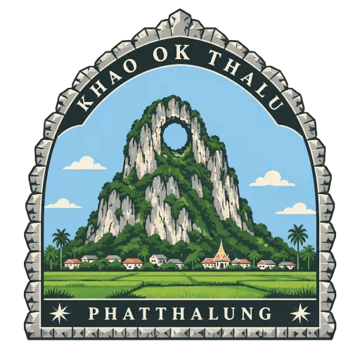
Khao Ok Thalu
A karst peak standing over the town of Phatthalung with a hole worn right through near its top. The name means the mountain with a pierced chest, and it is the emblem of the province.
- Where
- Phatthalung, Phatthalung, Thailand
- Grade
- National monument
- Worth
- 10 points collected on site, plus 5 for its grade
- Coordinates
- 7.6250, 100.0917
Get the Khao Ok Thalu stamp
Open LOQAH when you are at Khao Ok Thalu. It checks where you are once, at that moment, and the stamp is yours: confirmed on site in gold and struck with the date. It goes into your Phatthalung volume with your photos and a note.
Near Khao Ok Thalu
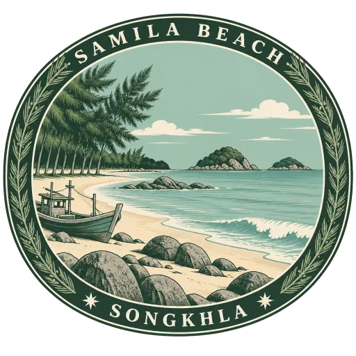
Samila Beach 72 km
The town beach of Songkhla, a long curve of sand shaded by casuarina trees on the Gulf of Thailand. At one end sits the bronze Golden Mermaid on her rock, the symbol of the town.
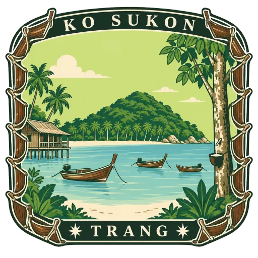
Ko Sukon 81 km
A quiet island in the Andaman Sea off Trang, in Palian district, home to about 3,000 people, most of them Muslim. Both of its names, Sukon in Thai and Mu, mean pig.
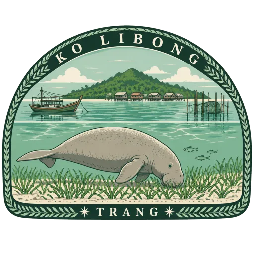
Ko Libong 88 km
The largest of the islands off Trang, lying near the mouth of the river at Kantang. Its shallow seagrass beds are among the few places in Thailand where dugongs still graze, and fishing villages line its shores.
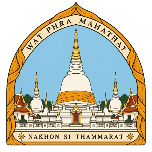
Wat Phra Mahathat Woramahawihan 89 km
The great wat of Nakhon Si Thammarat, a religious centre since the 8th century on a site where a Hindu shrine once stood. Its main chedi, Phra Borommathat, was raised in the early 13th century over a relic of the Buddha, and each year it is wrapped in cloth in a festival that draws pilgrims from across the south.
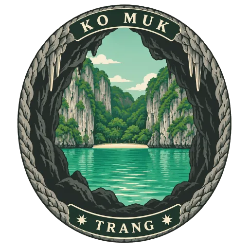
Ko Muk 92 km
An island off the Trang coast best known for the Emerald Cave, a sea cave that you swim through in the dark to reach a hidden lagoon and beach enclosed by cliffs. The rest of the island is fishing villages, rubber trees and quiet sand.
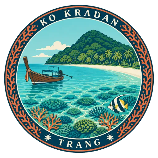
Ko Kradan 99 km
A small island off the Trang coast with white sand beaches and water so clear the coral reef shows from the surface. Most of it lies within Hat Chao Mai National Park, and it is often counted among the most beautiful islands in Trang.
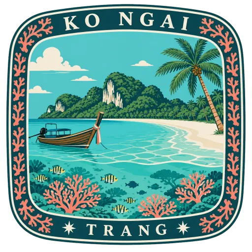
Ko Ngai 101 km
A small island that belongs to Krabi Province but is most easily reached by boat from the Trang coast. It is known for long white beaches and for the diving and snorkelling on the reefs just offshore.
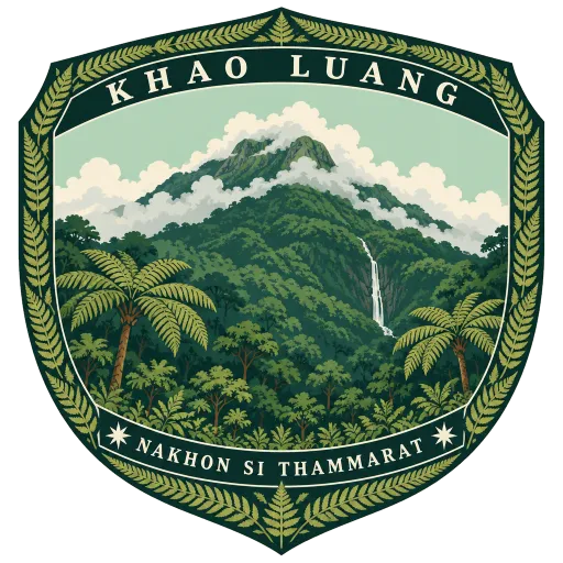
Khao Luang 104 km
The highest mountain in southern Thailand, rising inland from Nakhon Si Thammarat. Its forested slopes form the heart of the national park that shares its name.
Questions
Where is Khao Ok Thalu?
Khao Ok Thalu is in Phatthalung, Phatthalung, Thailand. The nearest other LOQAH stamps are Samila Beach (72 km), Ko Sukon (81 km), Ko Libong (88 km).
How do I get the Khao Ok Thalu stamp?
Open LOQAH when you are at Khao Ok Thalu and get its stamp. The app checks where you are once, at that moment, and the stamp goes into your Phatthalung volume, confirmed on site, with the date.
I have been to Khao Ok Thalu before. Can I still have the stamp?
Yes. Add it from Earlier trips in your Phatthalung volume, with the date if you know it, or import your Google Timeline and LOQAH matches the places you were.
Collect your first stamp.
LOQAH is free on iPhone and Android, in India and 20 more countries, with more countries on the way. Stand at a place, collect its stamp, and keep every trip in a passport that grows.