

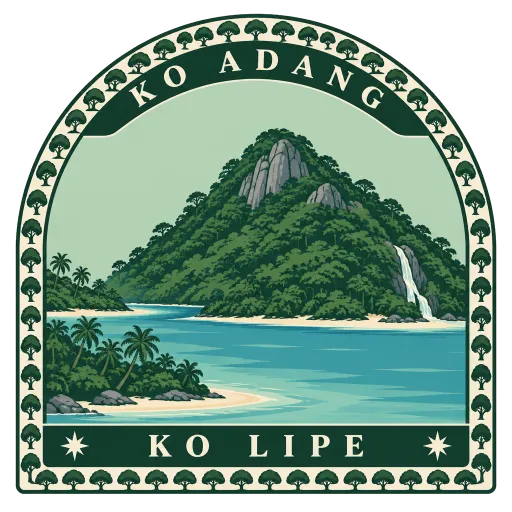
Ko Adang
The second largest island of Tarutao National Marine Park, about 6 kilometres long, forested and rising to 690 metres. It lies just across a narrow channel from busy Ko Lipe, but feels far wilder.
- Where
- Ko Lipe, Satun, Thailand
- Grade
- Local gem
- Worth
- 10 points collected on site
- Coordinates
- 6.5500, 99.3000
Get the Ko Adang stamp
Open LOQAH when you are at Ko Adang. It checks where you are once, at that moment, and the stamp is yours: confirmed on site in gold and struck with the date. It goes into your Satun volume with your photos and a note.
Near Ko Adang
Ko Lipe 6.7 km
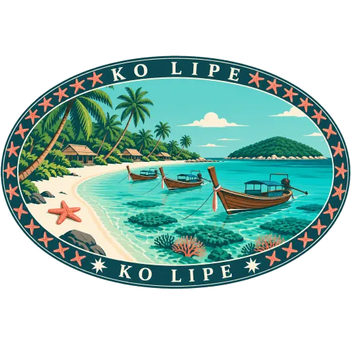
A small island in the far south of the Thai Andaman Sea, close to the border with Malaysia. Its name is a Thai form of the Malay Pulau Nipis, meaning thin island, and its beaches look out over the reefs of the Adang-Rawi islands.
Ko Tarutao 39 km
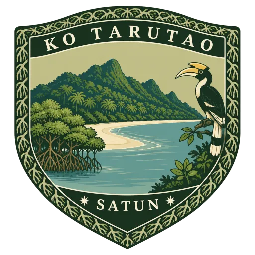
The largest island of Tarutao National Park, 26 kilometres long and mostly covered in forest, about 10 kilometres north of Langkawi. Its name comes from a Malay word meaning old and primitive, and it remains one of the least developed islands in Thailand.
Langkawi Sky Bridge 44 km
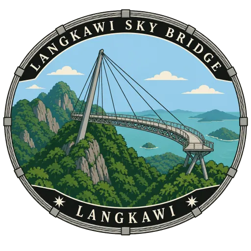
A curved footbridge 125 metres long, hung from a single pylon 660 metres above sea level near the summit of Gunung Mat Cincang. It is reached by the cable car and a short inclined lift, and looks out over rainforest to the Andaman Sea.
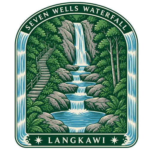
Seven Wells Waterfall 45 km
A stream on the slopes of Gunung Mat Cincang that drops through a chain of seven natural pools before falling down the mountainside. A steep stair climbs through the forest to the upper pools, where people swim and slide over the smooth rock.
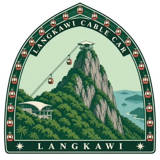
Langkawi Cable Car 46 km
A gondola opened in 2003 that rises 2.2 km from the Oriental Village at Teluk Burau to the peak of Gunung Mat Cincang. The ride takes about 15 minutes, climbing steeply over forest and granite to the start of the Sky Bridge.
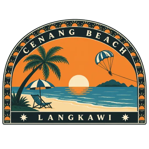
Cenang Beach 55 km
Langkawi's most popular beach, a long strip of pale sand on the island's southwest coast. Cafés, small hotels and water sports line it, and in the evening people gather on the sand to watch the sun go down over the sea.
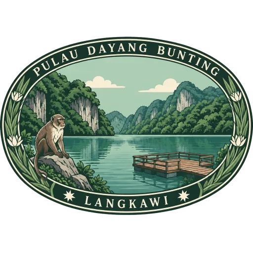
Pulau Dayang Bunting 66 km
The second largest island of the Langkawi group, its hills said to resemble a pregnant woman lying on her back. A short walk from the jetty leads to the Lake of the Pregnant Maiden, a freshwater lake ringed by limestone and forest.
Langkawi 66 km
An archipelago of 99 islands about 30 km off the northwest coast of Malaysia, close to the Thai border, with duty-free status. Its main island mixes rainforest, limestone and beaches, with Kuah as its biggest town and Pantai Cenang its busiest shore.
More hidden gems in Satun
Questions
Where is Ko Adang?
Ko Adang is in Ko Lipe, Satun, Thailand. The nearest other LOQAH stamps are Ko Lipe (6.7 km), Ko Tarutao (39 km), Langkawi Sky Bridge (44 km).
How do I get the Ko Adang stamp?
Open LOQAH when you are at Ko Adang and get its stamp. The app checks where you are once, at that moment, and the stamp goes into your Satun volume, confirmed on site, with the date.
I have been to Ko Adang before. Can I still have the stamp?
Yes. Add it from Earlier trips in your Satun volume, with the date if you know it, or import your Google Timeline and LOQAH matches the places you were.
Collect your first stamp.
LOQAH is free on iPhone and Android, in India and 20 more countries, with more countries on the way. Stand at a place, collect its stamp, and keep every trip in a passport that grows.