

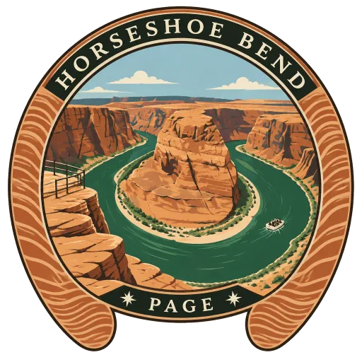
Horseshoe Bend
A horseshoe-shaped meander of the Colorado River near Page, where the river loops right around a tall sandstone outcrop. From the overlook on the rim it is a sheer drop of about 300 metres to the green water.
- Where
- Page, Arizona, United States
- Grade
- Well known
- Worth
- 10 points collected on site, plus 1 for its grade
- Coordinates
- 36.8794, -111.5139
Get the Horseshoe Bend stamp
Open LOQAH when you are at Horseshoe Bend. It checks where you are once, at that moment, and the stamp is yours: confirmed on site in gold and struck with the date. It goes into your Arizona volume with your photos and a note.
Near Horseshoe Bend
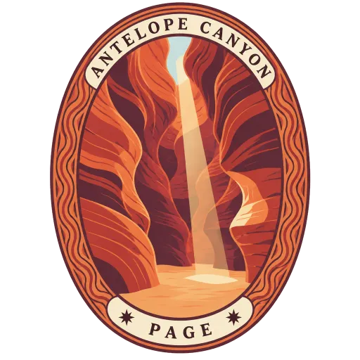
Antelope Canyon 13 km
A slot canyon on Navajo land near Page, its narrow passages carved by water through sandstone that glows orange and purple when sunlight slants in. It has several sections, chiefly the Upper and Lower canyons, and is visited with Navajo guides.
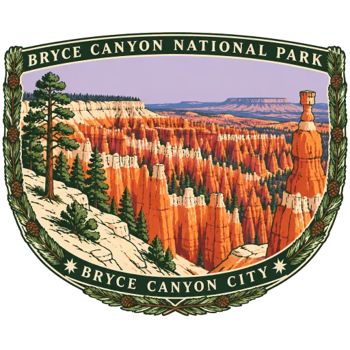
Bryce Canyon National Park 103 km
Not a canyon at all but a row of huge natural amphitheatres cut into the edge of the Paunsaugunt Plateau in southern Utah. They are crowded with hoodoos, thin spires of red, orange and white rock shaped by frost and water, seen from a rim between about 2,400 and 2,700 metres up.
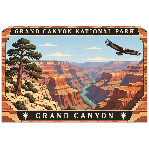
Grand Canyon National Park 107 km
The national park around the Grand Canyon, the gorge cut by the Colorado River through northern Arizona and often counted among the wonders of the world. From the South Rim, bands of red and buff rock drop well over a kilometre and a half to the river below.
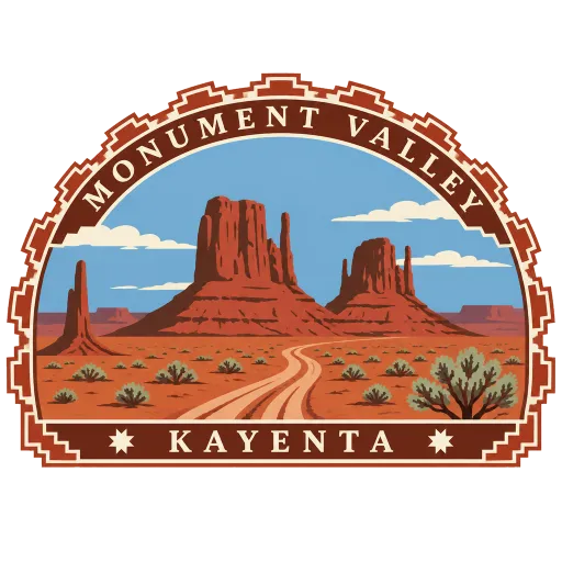
Monument Valley 126 km
A valley on the Colorado Plateau along the Arizona and Utah line, where sandstone buttes rise as much as 300 metres above the desert floor. It lies within the Navajo Nation, which holds it sacred, and its silhouettes are familiar from decades of Western films.
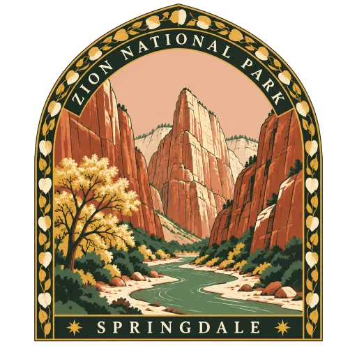
Zion National Park 136 km
A national park in southwestern Utah where the Virgin River has cut a deep canyon through red and cream sandstone. Trails like Angels Landing and The Narrows, where hikers wade upstream between sheer walls, draw walkers from around the world.
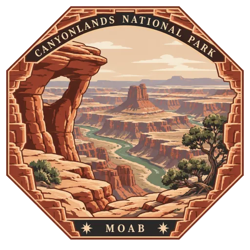
Canyonlands National Park 211 km
A maze of canyons, mesas and buttes carved by the Colorado and Green rivers and their tributaries in southeastern Utah. The park was created in 1964, and its overlooks look down on layer after layer of coloured rock worn away by the two rivers.
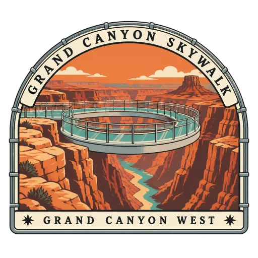
Grand Canyon Skywalk 227 km
A horseshoe-shaped bridge with a glass floor, cantilevered out over a side canyon at Eagle Point in the Grand Canyon West area. It opened in 2007 outside the national park, on Hualapai land, and leaves you standing on glass high above the canyon floor.
Cathedral Rock 230 km
A sandstone butte in the red rock country outside Sedona and one of the most photographed sights in Arizona. Its spires reach 1,514 metres above sea level, and a short, steep trail climbs to the saddle between them.
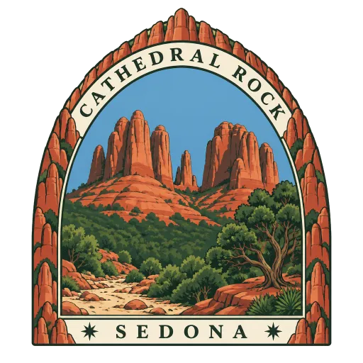
More famous places to visit in Arizona
Questions
Where is Horseshoe Bend?
Horseshoe Bend is in Page, Arizona, United States. The nearest other LOQAH stamps are Antelope Canyon (13 km), Bryce Canyon National Park (103 km), Grand Canyon National Park (107 km).
How do I get the Horseshoe Bend stamp?
Open LOQAH when you are at Horseshoe Bend and get its stamp. The app checks where you are once, at that moment, and the stamp goes into your Arizona volume, confirmed on site, with the date.
I have been to Horseshoe Bend before. Can I still have the stamp?
Yes. Add it from Earlier trips in your Arizona volume, with the date if you know it, or import your Google Timeline and LOQAH matches the places you were.
Collect your first stamp.
LOQAH is free on iPhone and Android, in India and 20 more countries, with more countries on the way. Stand at a place, collect its stamp, and keep every trip in a passport that grows.