

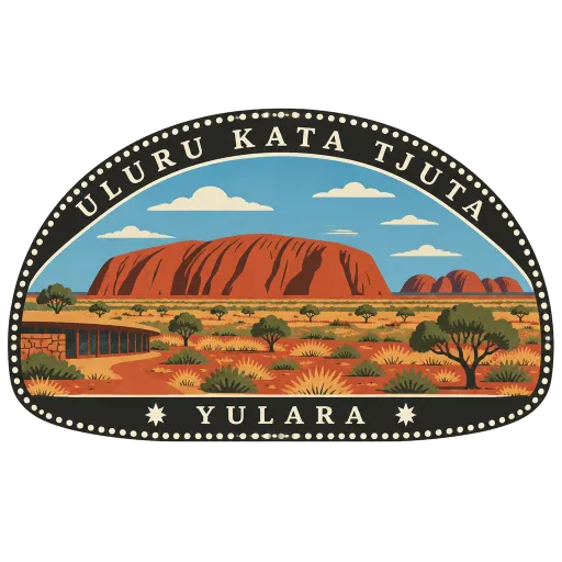
Uluru-Kata Tjuta National Park
The protected desert country around Uluru and Kata Tjuta, a World Heritage Site for both its landscape and its living Aboriginal culture, and run jointly with the Anangu. A Cultural Centre near the base of Uluru explains Anangu law and stories.
- Where
- Yulara, Northern Territory, Australia
- Grade
- UNESCO heritage
- Worth
- 10 points collected on site, plus 8 for its grade
- Coordinates
- -25.3221, 130.9857
Get the Uluru-Kata Tjuta National Park stamp
Open LOQAH when you are at Uluru-Kata Tjuta National Park. It checks where you are once, at that moment, and the stamp is yours: confirmed on site in gold and struck with the date. It goes into your Northern Territory volume with your photos and a note.
Near Uluru-Kata Tjuta National Park
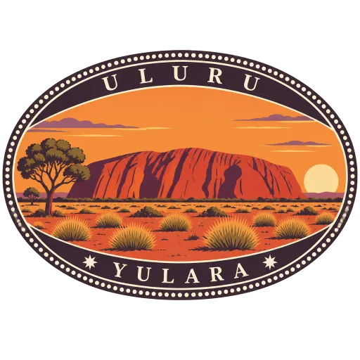
Uluru 5.7 km
A single sandstone monolith rising out of the plain near the centre of Australia, 335 kilometres south-west of Alice Springs. Sacred to the Anangu, its traditional owners, it shifts from ochre to deep red as the sun rises and sets, and a walking track circles its base.
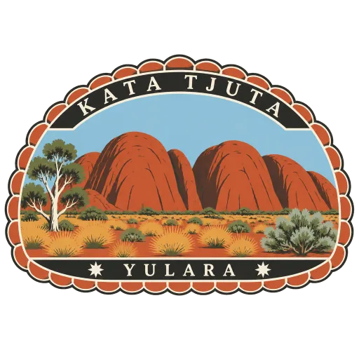
Kata Tjuta 23 km
A cluster of huge domed rock formations about 25 kilometres west of Uluru, in the same national park and sacred to the local Aboriginal people. Walking tracks lead into the gaps between the domes, through the Valley of the Winds and Walpa Gorge.
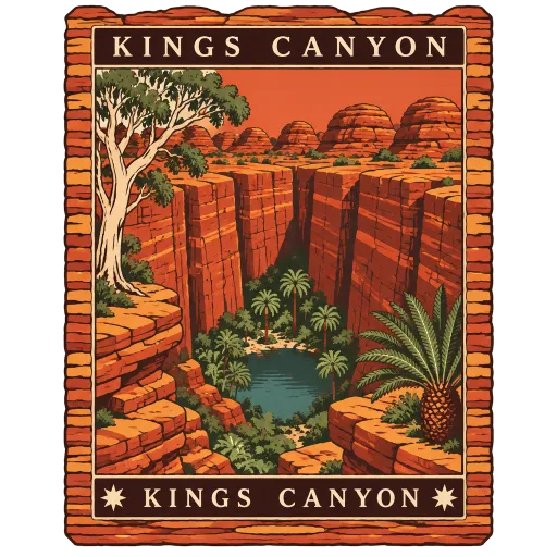
Kings Canyon 132 km
A sheer-walled canyon at the western end of the George Gill Range, about 321 kilometres south-west of Alice Springs, in Watarrka National Park. The rim walk climbs to the top of the red sandstone walls and passes the Garden of Eden, a waterhole sheltered by palms and ferns.
West MacDonnell National Park 255 km
A national park stretching west of Alice Springs along the MacDonnell Ranges, a chain of red ridges cut by gaps and gorges. Simpsons Gap, Ellery Creek Big Hole and Ormiston Gorge are all within it, and the Larapinta Trail runs its length.
Alice Springs Desert Park 339 km
A wildlife park and education centre at the foot of the MacDonnell Ranges on the edge of Alice Springs. Walkways lead through recreated desert habitats of central Australia, with a nocturnal house for the animals that only come out after dark.
Devils Marbles 626 km
Fields of giant rounded granite boulders, many balanced on one another, about 105 kilometres south of Tennant Creek beside the Stuart Highway. The place is sacred to its Aboriginal traditional owners, and the boulders glow red at sunrise and sunset.
Purnululu National Park 911 km
A remote World Heritage park in the East Kimberley, about 300 kilometres south of Kununurra. It holds the Bungle Bungle Range, beehive-shaped domes of sandstone banded in orange and black that rise 250 metres above the savannah.
Ikara-Flinders Ranges National Park 1,015 km
A park of 95,000 hectares in the northern Flinders Ranges, about 430 kilometres north of Adelaide between Hawker and Blinman. Wilpena Pound is its centrepiece, alongside the Heysen Range and the Brachina and Bunyeroo gorges, and the Heysen Trail passes through.


More UNESCO World Heritage sites in Northern Territory
Questions
Where is Uluru-Kata Tjuta National Park?
Uluru-Kata Tjuta National Park is in Yulara, Northern Territory, Australia. The nearest other LOQAH stamps are Uluru (5.7 km), Kata Tjuta (23 km), Kings Canyon (132 km).
How do I get the Uluru-Kata Tjuta National Park stamp?
Open LOQAH when you are at Uluru-Kata Tjuta National Park and get its stamp. The app checks where you are once, at that moment, and the stamp goes into your Northern Territory volume, confirmed on site, with the date.
I have been to Uluru-Kata Tjuta National Park before. Can I still have the stamp?
Yes. Add it from Earlier trips in your Northern Territory volume, with the date if you know it, or import your Google Timeline and LOQAH matches the places you were.
Collect your first stamp.
LOQAH is free on iPhone and Android, in India and 20 more countries, with more countries on the way. Stand at a place, collect its stamp, and keep every trip in a passport that grows.