

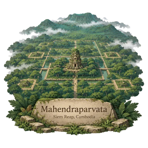
Mahendraparvata
A lost city of the early Khmer Empire on Phnom Kulen, founded by Jayavarman II around 802. Airborne laser surveys in 2012 revealed its street grid and temples beneath the forest. Its remains are spread over a wide area of forest on the plateau.
- Where
- Siem Reap, Cambodia
- Grade
- Local gem
- Worth
- 10 points collected on site
- Coordinates
- 13.6128, 104.1125
Get the Mahendraparvata stamp
Open LOQAH when you are at Mahendraparvata. It checks where you are once, at that moment, and the stamp is yours: confirmed on site in gold and struck with the date. It goes into your Siem Reap volume with your photos and a note.
Near Mahendraparvata
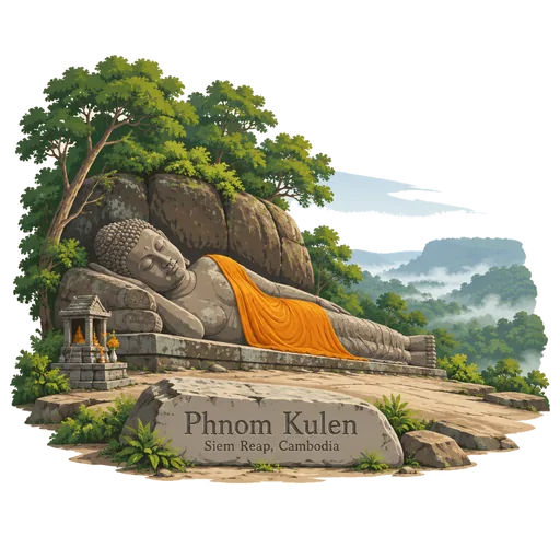
Phnom Kulen 0.0 km
A sandstone plateau northeast of Siem Reap, regarded as a holy mountain and the place where Jayavarman II proclaimed the Khmer Empire in 802. It has a large reclining Buddha, a river with carved lingas and a popular waterfall.
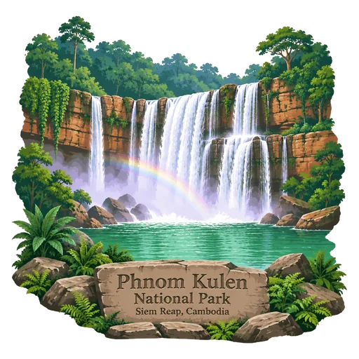
Phnom Kulen National Park 2.0 km
A national park on the Phnom Kulen plateau north of Angkor, established in 1993 and covering about 374 square kilometres. The Khmer Empire was founded on this mountain in 802, and it holds waterfalls, a reclining Buddha and carved riverbed lingas.
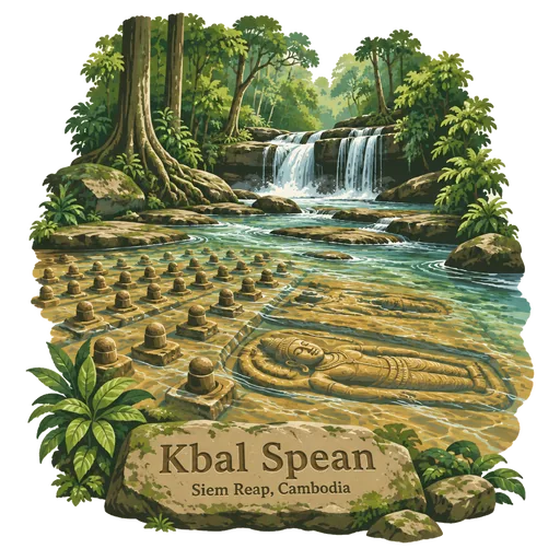
Kbal Spean 13 km
A riverbed in the Kulen hills northeast of Angkor carved in the 11th century with hundreds of linga and images of Hindu gods. It is known as the River of a Thousand Lingas and is reached by a forest walk.
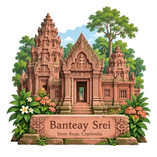
Banteay Srei 16 km
A small 10th century temple dedicated to Shiva and Parvati, about 25 kilometres from the main Angkor group. It is built of pink sandstone and is famous for the depth and fineness of its carved decoration.
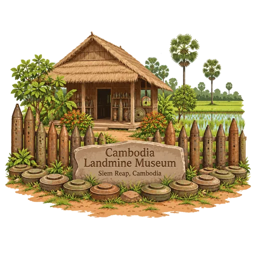
Cambodia Landmine Museum 20 km
A museum in Siem Reap province that tells the story of landmines and unexploded ordnance left by decades of war. It also works as an education centre, and the money it raises goes to clearance work and to schooling for children and villagers.
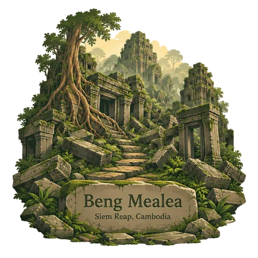
Beng Mealea 20 km
A temple from the Angkor Wat period about 40 kilometres east of the main group, built of sandstone in the early 12th century. It is largely unrestored, and visitors climb over fallen towers in a jungle setting.
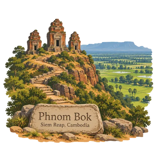
Phnom Bok 22 km
A hill northeast of the Eastern Baray with a Khmer temple on top. It is one of a trio of mountain temples with a similar layout, and a steep climb leads to a summit with long views across the plain towards Phnom Kulen.
Banteay Samre 25 km
A temple east of the East Baray, built in the reign of Suryavarman II in the style of Angkor Wat. It is compact and well preserved, with a moat around the central sanctuary.

More hidden gems in Siem Reap
Questions
Where is Mahendraparvata?
Mahendraparvata is in Siem Reap, Cambodia. The nearest other LOQAH stamps are Phnom Kulen (0.0 km), Phnom Kulen National Park (2.0 km), Kbal Spean (13 km).
How do I get the Mahendraparvata stamp?
Open LOQAH when you are at Mahendraparvata and get its stamp. The app checks where you are once, at that moment, and the stamp goes into your Siem Reap volume, confirmed on site, with the date.
I have been to Mahendraparvata before. Can I still have the stamp?
Yes. Add it from Earlier trips in your Siem Reap volume, with the date if you know it, or import your Google Timeline and LOQAH matches the places you were.
Collect your first stamp.
LOQAH is free on iPhone and Android, in India and 40 more countries, with more countries on the way. Stand at a place, collect its stamp, and keep every trip in a passport that grows.