

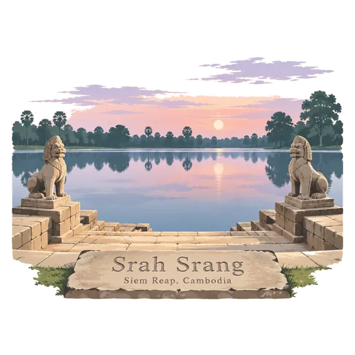
Srah Srang
A rectangular reservoir at Angkor, just east of Banteay Kdei, dug in the 10th century and enlarged under Jayavarman VII. Its sandstone landing stage on the edge of the water is a quiet spot for sunrise.
- Where
- Siem Reap, Cambodia
- Grade
- UNESCO heritage
- Worth
- 10 points collected on site, plus 8 for its grade
- Coordinates
- 13.4310, 103.9067
Get the Srah Srang stamp
Open LOQAH when you are at Srah Srang. It checks where you are once, at that moment, and the stamp is yours: confirmed on site in gold and struck with the date. It goes into your Siem Reap volume with your photos and a note.
Near Srah Srang
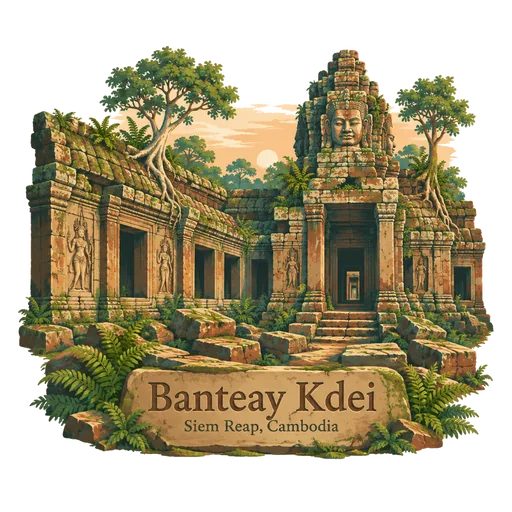
Banteay Kdei 0.9 km
A Buddhist temple southeast of Ta Prohm, built mostly in the late 12th century under Jayavarman VII. Its name means Citadel of Monks' Cells, and its mazelike galleries are partly ruined and overgrown.
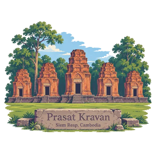
Prasat Kravan 1.5 km
A small 10th century temple of five reddish brick towers on a shared terrace, south of Srah Srang. Its inner walls hold rare brick carvings of Vishnu. It is one of the smaller monuments in the Angkor group and takes only a few minutes to see.
Pre Rup 1.6 km
A Hindu temple mountain built in 961 or 962 as the state temple of King Rajendravarman. Its steep laterite and brick tiers and five towers make it a favourite place to watch the evening light.
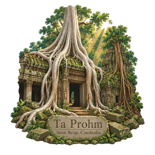
Ta Prohm 1.9 km
A temple about one kilometre east of Angkor Thom, built in the late 12th century as a Buddhist monastery. It has been left largely as it was found, with huge silk cotton and strangler fig trees growing over its galleries and towers.
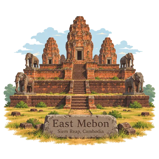
East Mebon 2.2 km
A 10th century temple built under Rajendravarman on an artificial island in the middle of the East Baray. The baray is now dry, but stone elephants still stand at the corners of its tiers.
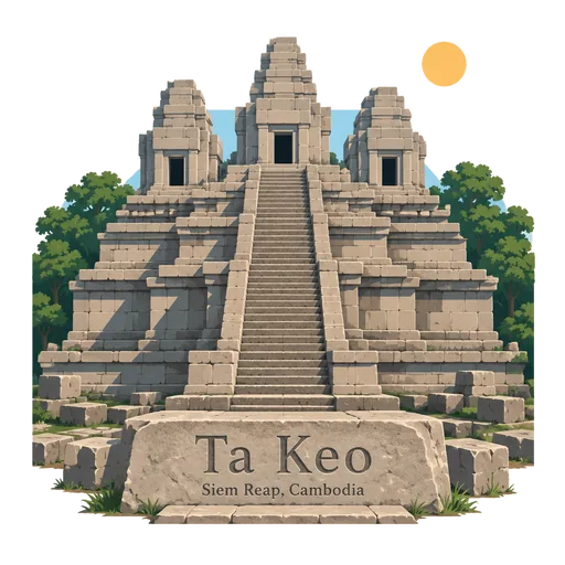
Ta Keo 3.1 km
A temple mountain east of Angkor Thom, probably the first at Angkor built wholly of sandstone. Work began around the year 1000 and was never completed, so its tall towers stand bare of carving.
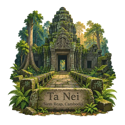
Ta Nei 3.3 km
A late 12th century stone temple near the northwest corner of the East Baray, the large holy reservoir of Angkor. It was built under King Jayavarman VII and sits on a quiet forest path, with moss covered towers that few tour groups reach.
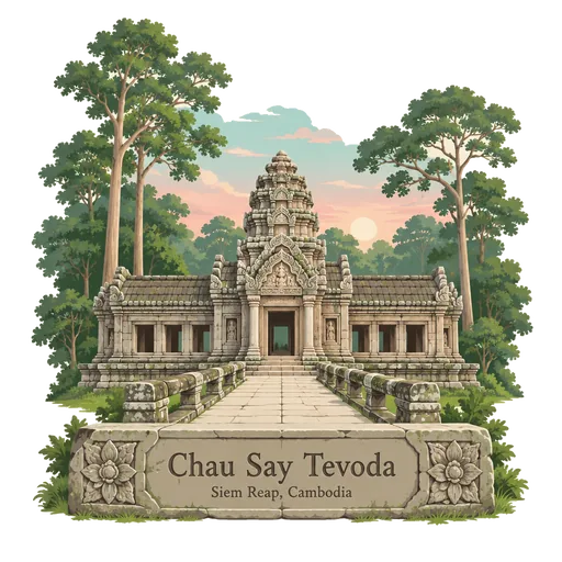
Chau Say Tevoda 3.5 km
A small Hindu temple just east of Angkor Thom, facing Thommanon across the Victory Way. It was built in the mid 12th century, in the Angkor Wat period, and its carved lintels and pediments survive well after years of careful restoration.

More UNESCO World Heritage sites in Siem Reap
Questions
Where is Srah Srang?
Srah Srang is in Siem Reap, Cambodia. The nearest other LOQAH stamps are Banteay Kdei (0.9 km), Prasat Kravan (1.5 km), Pre Rup (1.6 km).
How do I get the Srah Srang stamp?
Open LOQAH when you are at Srah Srang and get its stamp. The app checks where you are once, at that moment, and the stamp goes into your Siem Reap volume, confirmed on site, with the date.
I have been to Srah Srang before. Can I still have the stamp?
Yes. Add it from Earlier trips in your Siem Reap volume, with the date if you know it, or import your Google Timeline and LOQAH matches the places you were.
Collect your first stamp.
LOQAH is free on iPhone and Android, in India and 40 more countries, with more countries on the way. Stand at a place, collect its stamp, and keep every trip in a passport that grows.