

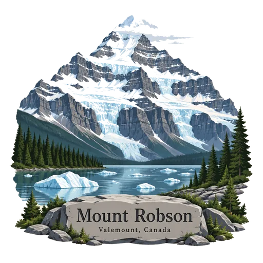
Mount Robson
The highest peak in the Canadian Rockies, at 3,954 metres, in Mount Robson Provincial Park in British Columbia. Its steep face is often hidden in cloud, and the Berg Lake Trail leads to a lake beneath it.
- Where
- Valemount, British Columbia, Canada
- Grade
- Well known
- Worth
- 10 points collected on site, plus 1 for its grade
- Coordinates
- 53.1106, -119.1567
Get the Mount Robson stamp
Open LOQAH when you are at Mount Robson. It checks where you are once, at that moment, and the stamp is yours: confirmed on site in gold and struck with the date. It goes into your British Columbia volume with your photos and a note.
Near Mount Robson
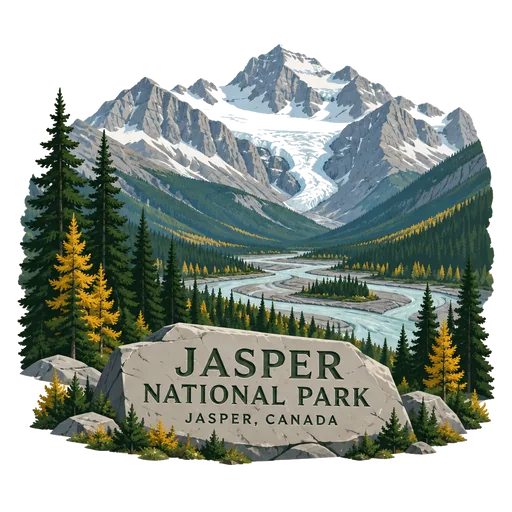
Jasper National Park 91 km
The largest national park in the Alberta Rockies, spanning 11,000 square kilometres. It was set up as Jasper Forest Park in 1907, renamed a national park in 1930 and later declared a UNESCO World Heritage Site together with neighbouring Rocky Mountain parks.
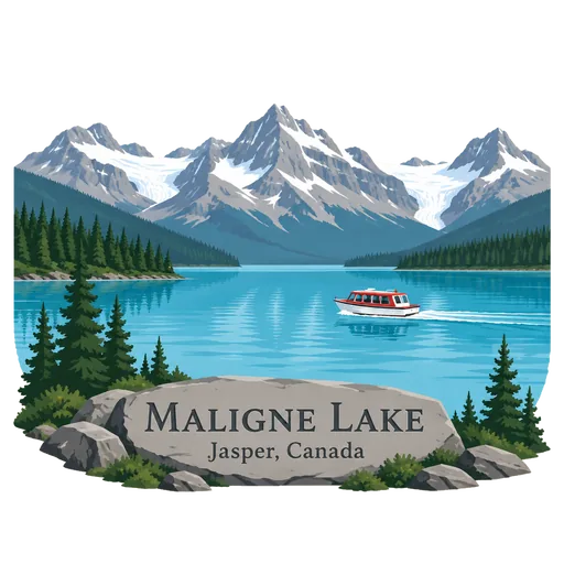
Maligne Lake 120 km
A lake in Jasper National Park famed for its azure water, the surrounding peaks and three visible glaciers. Boat trips cross it to Spirit Island, the most photographed spot in the park.
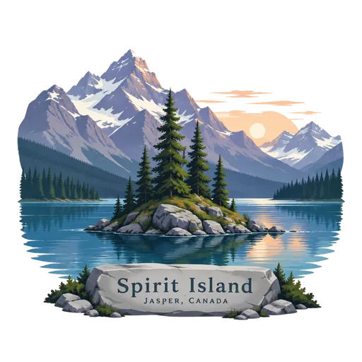
Spirit Island 123 km
A tiny tied island in Maligne Lake, in Jasper National Park. It is the destination of boat trips across the lake, and the view of it with the mountains behind is one many people link with the Canadian Rockies.
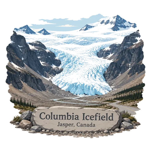
Columbia Icefield 163 km
The largest ice field in the Rocky Mountains, straddling the Alberta and British Columbia border along the Icefields Parkway. Its Athabasca Glacier reaches down close to the road, and guided tours run onto the ice.
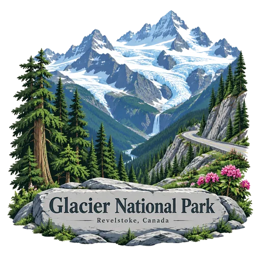
Glacier National Park 230 km
One of seven national parks in British Columbia, established in 1886. It covers 1,349 square kilometres of the Selkirk Mountains, including Rogers Pass, and holds glaciers, steep valleys and old growth forest.
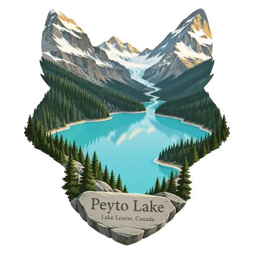
Peyto Lake 236 km
A glacier fed lake in Banff National Park, reached by a short walk to a viewing platform off the Icefields Parkway. Its fox like shape and bright turquoise colour make it one of the most photographed spots in the Rockies.
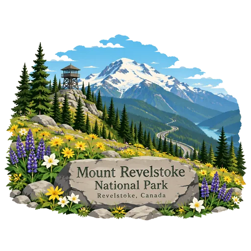
Mount Revelstoke National Park 237 km
A small national park of 260 square kilometres beside the city of Revelstoke in the Selkirk Mountains of British Columbia. A winding road climbs through forest to alpine meadows of wildflowers near the summit.
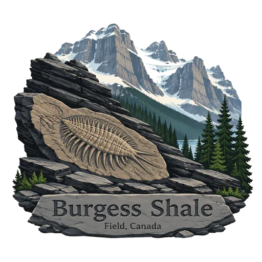
Burgess Shale 261 km
A fossil bed high in the Canadian Rockies, in Yoho and Kootenay national parks, found in 1909. It preserves soft bodied animals from about 508 million years ago, giving a rare picture of early life in the oceans.
More famous places to visit in British Columbia
Questions
Where is Mount Robson?
Mount Robson is in Valemount, British Columbia, Canada. The nearest other LOQAH stamps are Jasper National Park (91 km), Maligne Lake (120 km), Spirit Island (123 km).
How do I get the Mount Robson stamp?
Open LOQAH when you are at Mount Robson and get its stamp. The app checks where you are once, at that moment, and the stamp goes into your British Columbia volume, confirmed on site, with the date.
I have been to Mount Robson before. Can I still have the stamp?
Yes. Add it from Earlier trips in your British Columbia volume, with the date if you know it, or import your Google Timeline and LOQAH matches the places you were.
Collect your first stamp.
LOQAH is free on iPhone and Android, in India and 40 more countries, with more countries on the way. Stand at a place, collect its stamp, and keep every trip in a passport that grows.