

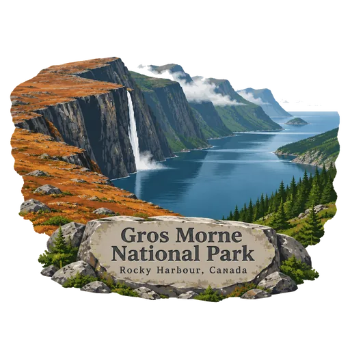
Gros Morne National Park
A national park on the west coast of Newfoundland covering 1,805 square kilometres. Its Tablelands show bare rock from the Earth's mantle, and Western Brook Pond is a freshwater fjord framed by tall cliffs.
- Where
- Rocky Harbour, Newfoundland and Labrador, Canada
- Grade
- UNESCO heritage
- Worth
- 10 points collected on site, plus 8 for its grade
- Coordinates
- 49.6894, -57.7381
Get the Gros Morne National Park stamp
Open LOQAH when you are at Gros Morne National Park. It checks where you are once, at that moment, and the stamp is yours: confirmed on site in gold and struck with the date. It goes into your Newfoundland and Labrador volume with your photos and a note.
Near Gros Morne National Park
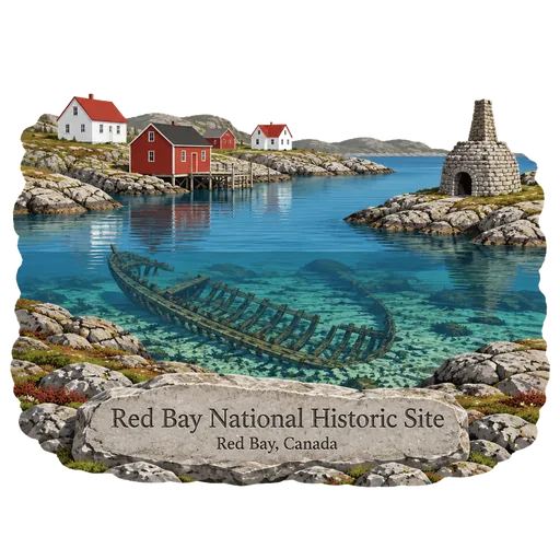
Red Bay National Historic Site 245 km
A village on the Labrador coast where Basque whalers set up stations in the 16th century. It holds some of the best preserved remains of early whaling in the world, including the wreck of the galleon San Juan, lost in 1565.
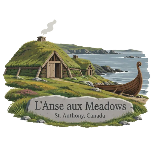
L'Anse aux Meadows 263 km
The remains of a Norse settlement on the northern tip of Newfoundland, dated to about the year 1000. It is the only confirmed Viking site in North America outside Greenland, and reconstructed sod buildings now stand beside the excavated foundations.
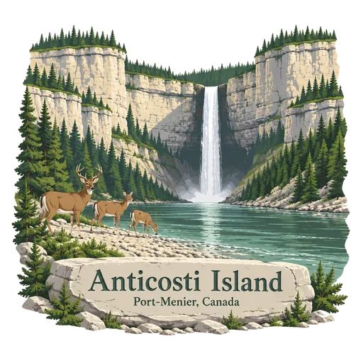
Anticosti Island 380 km
A large island in the Gulf of St. Lawrence in Quebec, with few residents and many white tailed deer. It is known for waterfalls, canyons and limestone cliffs with fossils from about 440 million years ago, and joined the World Heritage List in 2023.
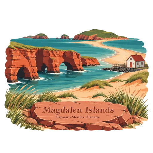
Magdalen Islands 386 km
An archipelago of sand dunes, red cliffs and beaches in the Gulf of St. Lawrence. Most of the islands are joined by sandbars, and the mostly French speaking population has a long tradition of lobster fishing.
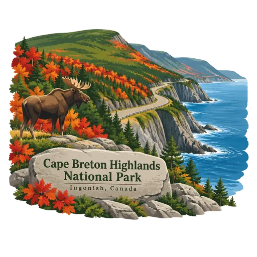
Cape Breton Highlands National Park 395 km
A national park on northern Cape Breton Island, covering 948 square kilometres. It was the first national park in the Atlantic provinces, and the Cabot Trail winds along its coastal cliffs and over its highland plateau.
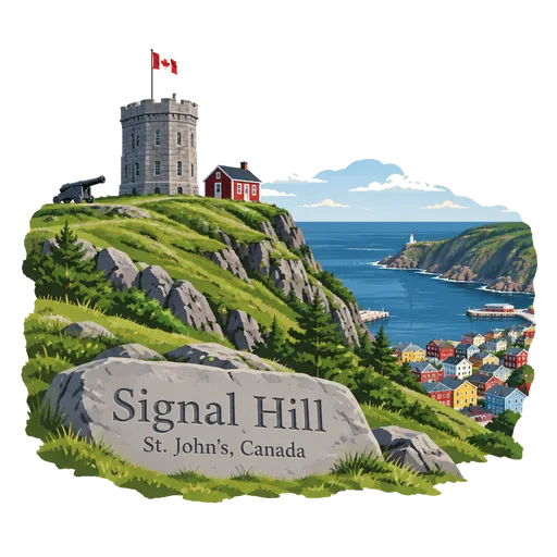
Signal Hill 440 km
A hill overlooking the harbour and city of St. John's, mostly designated a National Historic Site and crowned by Cabot Tower. Its highest point, Ladies' Lookout, is 167 metres above the sea.
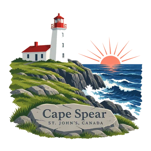
Cape Spear 447 km
A headland on the Avalon Peninsula near St. John's, at longitude 52 degrees 37 minutes west. It is the easternmost point of Canada and of North America, excluding Greenland, and it has a historic lighthouse.
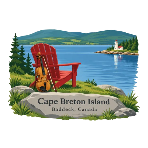
Cape Breton Island 450 km
The rugged northern island of Nova Scotia, joined to the mainland by a causeway. It holds the Cabot Trail and Cape Breton Highlands National Park, and Gaelic and Acadian music are still alive across the island.
More UNESCO World Heritage sites in Newfoundland and Labrador
Questions
Where is Gros Morne National Park?
Gros Morne National Park is in Rocky Harbour, Newfoundland and Labrador, Canada. The nearest other LOQAH stamps are Red Bay National Historic Site (245 km), L'Anse aux Meadows (263 km), Anticosti Island (380 km).
How do I get the Gros Morne National Park stamp?
Open LOQAH when you are at Gros Morne National Park and get its stamp. The app checks where you are once, at that moment, and the stamp goes into your Newfoundland and Labrador volume, confirmed on site, with the date.
I have been to Gros Morne National Park before. Can I still have the stamp?
Yes. Add it from Earlier trips in your Newfoundland and Labrador volume, with the date if you know it, or import your Google Timeline and LOQAH matches the places you were.
Collect your first stamp.
LOQAH is free on iPhone and Android, in India and 40 more countries, with more countries on the way. Stand at a place, collect its stamp, and keep every trip in a passport that grows.