

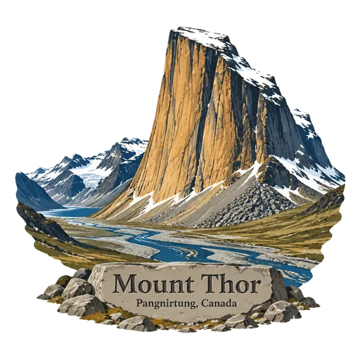
Mount Thor
A granite peak in Auyuittuq National Park on Baffin Island, 1,675 metres high. Its sheer west face has a vertical drop of about 1,250 metres, among the greatest on Earth. The peak is a popular goal for climbers and base jumpers, and it is reached on foot along the Weasel River valley.
- Where
- Pangnirtung, Nunavut, Canada
- Grade
- Well known
- Worth
- 10 points collected on site, plus 1 for its grade
- Coordinates
- 66.5333, -65.3167
Get the Mount Thor stamp
Open LOQAH when you are at Mount Thor. It checks where you are once, at that moment, and the stamp is yours: confirmed on site in gold and struck with the date. It goes into your Nunavut volume with your photos and a note.
Near Mount Thor
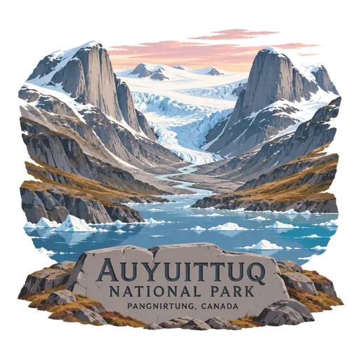
Auyuittuq National Park 112 km
A national park on Baffin Island's Cumberland Peninsula in the Qikiqtaaluk Region of Nunavut. Its name means the land that never melts, and it protects glaciers, fjords and granite peaks above the Arctic Circle.
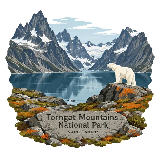
Torngat Mountains National Park 793 km
A remote national park on the Quebec and Labrador Peninsula, covering 9,700 square kilometres of mountainous terrain between northern Quebec and the Labrador Sea. It protects rugged arctic peaks and fjords at the northern tip of Labrador.
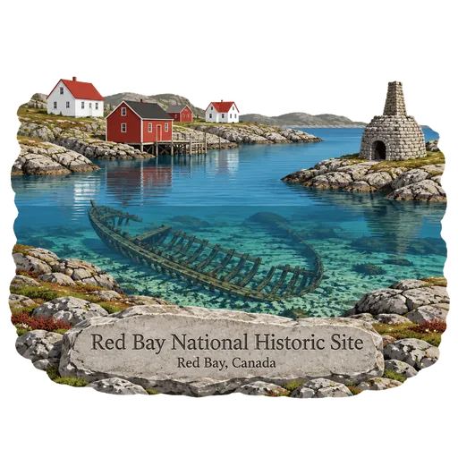
Red Bay National Historic Site 1,719 km
A village on the Labrador coast where Basque whalers set up stations in the 16th century. It holds some of the best preserved remains of early whaling in the world, including the wreck of the galleon San Juan, lost in 1565.
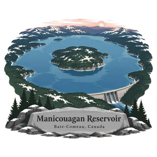
Manicouagan Reservoir 1,724 km
A ring shaped lake in central Quebec, formed in a meteorite impact crater about 214 million years ago and later dammed. From space it looks like an eye, and the island at its centre is called René-Levasseur Island.
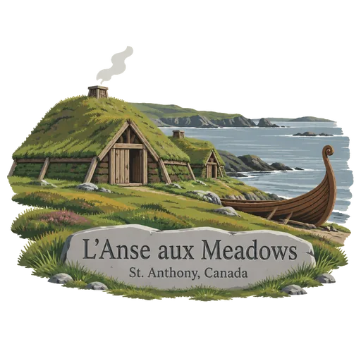
L'Anse aux Meadows 1,748 km
The remains of a Norse settlement on the northern tip of Newfoundland, dated to about the year 1000. It is the only confirmed Viking site in North America outside Greenland, and reconstructed sod buildings now stand beside the excavated foundations.
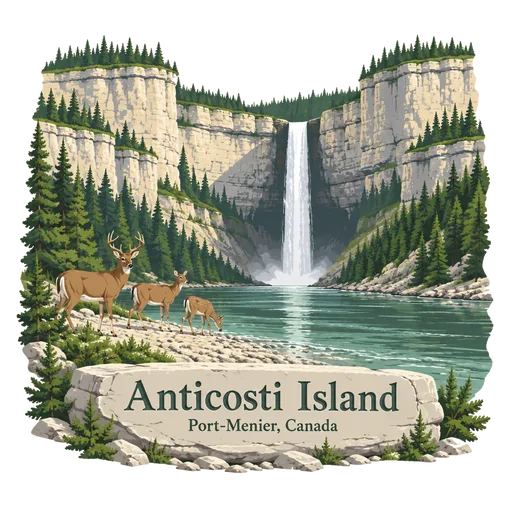
Anticosti Island 1,899 km
A large island in the Gulf of St. Lawrence in Quebec, with few residents and many white tailed deer. It is known for waterfalls, canyons and limestone cliffs with fossils from about 440 million years ago, and joined the World Heritage List in 2023.
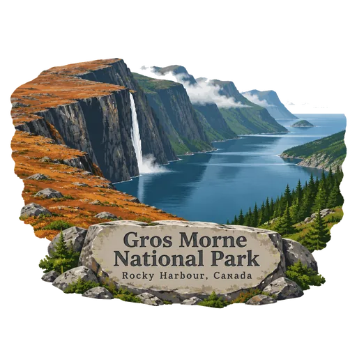
Gros Morne National Park 1,922 km
A national park on the west coast of Newfoundland covering 1,805 square kilometres. Its Tablelands show bare rock from the Earth's mantle, and Western Brook Pond is a freshwater fjord framed by tall cliffs.
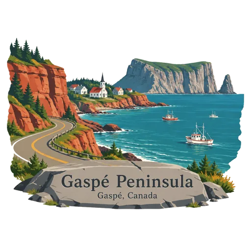
Gaspé Peninsula 1,980 km
A peninsula on the south side of the Saint Lawrence in Quebec, circled by a road past cliffs and fishing villages. Percé Rock and Forillon National Park lie at its eastern end.
Questions
Where is Mount Thor?
Mount Thor is in Pangnirtung, Nunavut, Canada. The nearest other LOQAH stamps are Auyuittuq National Park (112 km), Torngat Mountains National Park (793 km), Red Bay National Historic Site (1,719 km).
How do I get the Mount Thor stamp?
Open LOQAH when you are at Mount Thor and get its stamp. The app checks where you are once, at that moment, and the stamp goes into your Nunavut volume, confirmed on site, with the date.
I have been to Mount Thor before. Can I still have the stamp?
Yes. Add it from Earlier trips in your Nunavut volume, with the date if you know it, or import your Google Timeline and LOQAH matches the places you were.
Collect your first stamp.
LOQAH is free on iPhone and Android, in India and 40 more countries, with more countries on the way. Stand at a place, collect its stamp, and keep every trip in a passport that grows.