

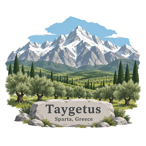
Taygetus
A mountain range on the southern Peloponnese rising to 2,407 metres at Profitis Ilias. It overlooks Sparta and has deep gorges such as Rintomo, and snow stays on its tops into early summer.
- Where
- Sparta, Peloponnese, Greece
- Grade
- Well known
- Worth
- 10 points collected on site, plus 1 for its grade
- Coordinates
- 36.9535, 22.3500
Get the Taygetus stamp
Open LOQAH when you are at Taygetus. It checks where you are once, at that moment, and the stamp is yours: confirmed on site in gold and struck with the date. It goes into your Peloponnese volume with your photos and a note.
Near Taygetus
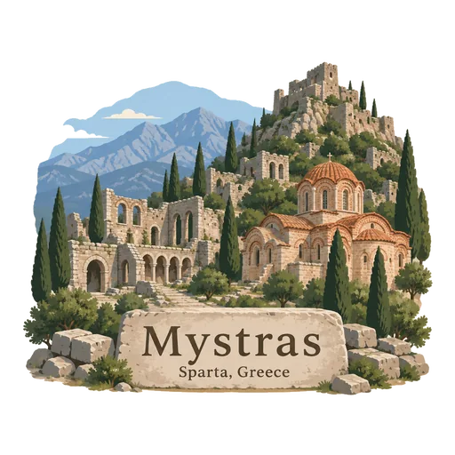
Mystras 13 km
A ruined Byzantine hill town above Sparta, once the capital of the Despotate of the Morea in the 14th and 15th centuries. Churches with frescoes, a palace and a fortress climb the slope, and it is a UNESCO site.
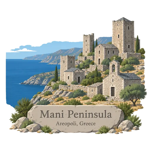
Mani Peninsula 44 km
A wild, dry peninsula at the southern tip of the mainland, known for stone tower houses and Byzantine churches. Its villages once feuded with each other, and Cape Tainaron is the southernmost point of mainland Europe.
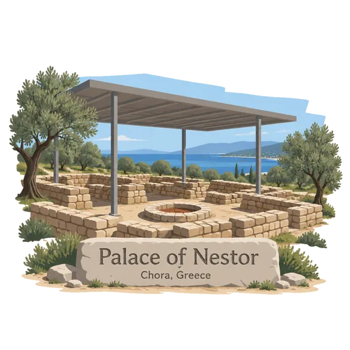
Palace of Nestor 59 km
A Mycenaean palace near Pylos in Messenia, traditionally identified as the home of King Nestor in Homer's Odyssey and Iliad. It is one of the best preserved palaces of the Bronze Age, with a throne room, a central hearth and clay tablets written in Linear B.
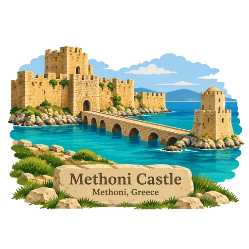
Methoni Castle 59 km
A medieval fortification on a cape in the port town of Methoni, in Messenia, built by the Venetians. It covers the whole headland and reaches a small islet with an octagonal tower, linked by a stone bridge.
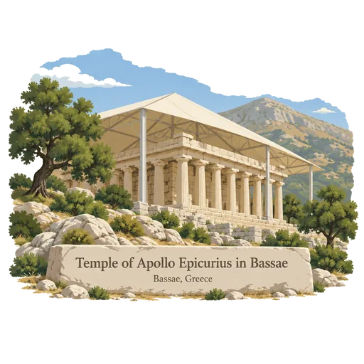
Temple of Apollo Epicurius in Bassae 66 km
A remote Doric temple high in the Arcadian mountains, built around 420 BC and probably designed by Iktinos. It is covered by a protective tent, and it was among the first sites on the UNESCO list.
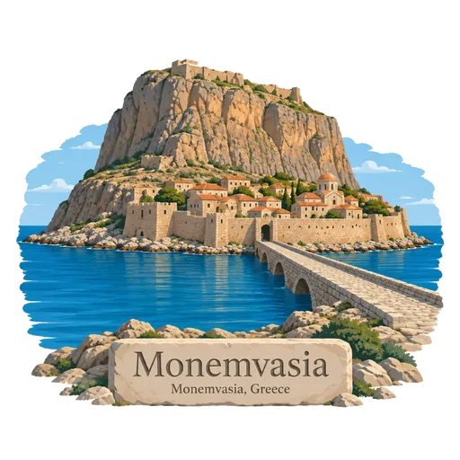
Monemvasia 69 km
A medieval fortified town on a rocky tied island off the east coast of the Peloponnese, joined to the mainland by a 400 metre causeway. Its walled lower town has stone lanes and Byzantine churches, and ruins crown the plateau above.
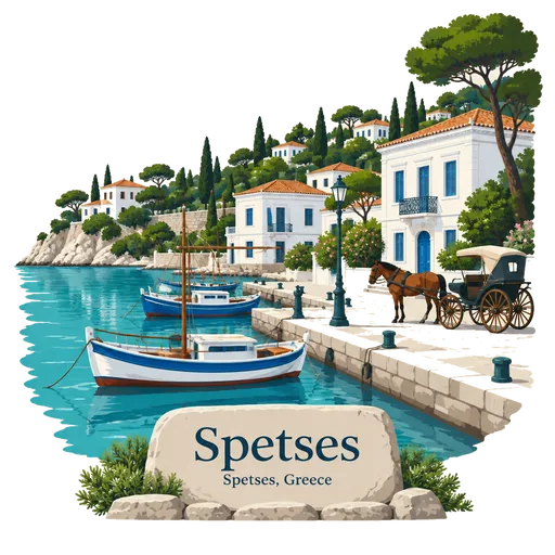
Spetses 78 km
A pine covered island at the mouth of the Argolic Gulf with a small old harbour and few cars. It played an important role in the 1821 war of independence under the shipowner and heroine Laskarina Bouboulina.
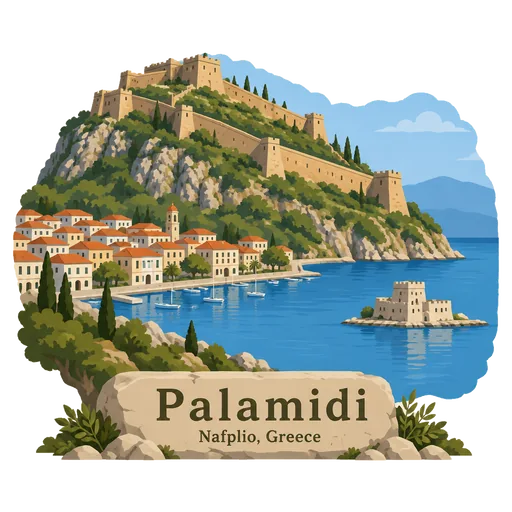
Palamidi 79 km
A fortress on a 216 metre hill above Nafplio, built by the Venetians during their second occupation of the area from 1686 to 1715. It is reached by a long stairway of about 900 steps and looks out over the Gulf of Argolis.
More famous places to visit in Peloponnese
Questions
Where is Taygetus?
Taygetus is in Sparta, Peloponnese, Greece. The nearest other LOQAH stamps are Mystras (13 km), Mani Peninsula (44 km), Palace of Nestor (59 km).
How do I get the Taygetus stamp?
Open LOQAH when you are at Taygetus and get its stamp. The app checks where you are once, at that moment, and the stamp goes into your Peloponnese volume, confirmed on site, with the date.
I have been to Taygetus before. Can I still have the stamp?
Yes. Add it from Earlier trips in your Peloponnese volume, with the date if you know it, or import your Google Timeline and LOQAH matches the places you were.
Collect your first stamp.
LOQAH is free on iPhone and Android, in India and 40 more countries, with more countries on the way. Stand at a place, collect its stamp, and keep every trip in a passport that grows.