

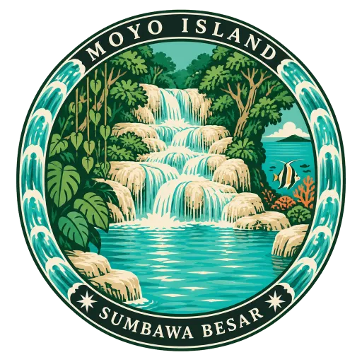
Moyo Island
A forested island off the north coast of Sumbawa, much of it a nature reserve. Inland are waterfalls with clear pools, and the reefs off its shore draw divers and snorkellers.
- Where
- Sumbawa Besar, West Nusa Tenggara, Indonesia
- Grade
- Local gem
- Worth
- 10 points collected on site
- Coordinates
- -8.2296, 117.5651
Get the Moyo Island stamp
Open LOQAH when you are at Moyo Island. It checks where you are once, at that moment, and the stamp is yours: confirmed on site in gold and struck with the date. It goes into your West Nusa Tenggara volume with your photos and a note.
Near Moyo Island
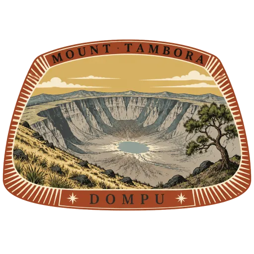
Mount Tambora 47 km
An active volcano on Sumbawa whose eruption in 1815 was the largest in recorded history. It left a vast caldera, and its effect on the climate made 1816 the Year Without a Summer far away in Europe and North America.
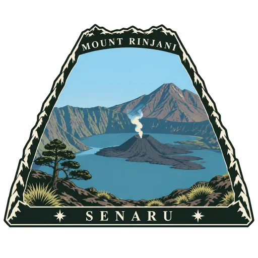
Mount Rinjani 123 km
An active volcano in northern Lombok, 3,726 metres high, the second highest in Indonesia. Inside its caldera lies the crescent lake of Segara Anak, with a young cone, Barujari, rising from its waters.
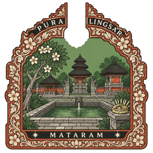
Pura Lingsar 157 km
A temple built in 1714 by Anak Agung Ngurah of Karangasem, about 15 kilometres from Mataram, around a spring held sacred by the Sasak people. It is shared by Balinese Hindus and Wetu Telu Muslims, who mark a yearly festival together by pelting each other with rice cakes.
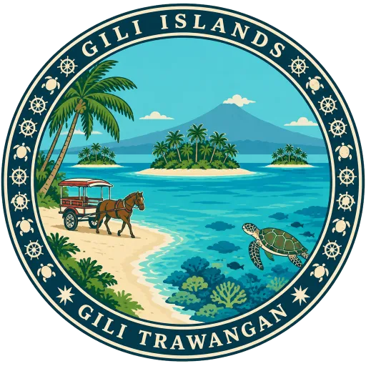
Gili Islands 166 km
Three small islands off the northwest coast of Lombok, Gili Trawangan, Gili Meno and Gili Air, known locally as Gili Indah. There are no motor vehicles, so people get around by bicycle or horse cart, and the reefs offshore are full of turtles.
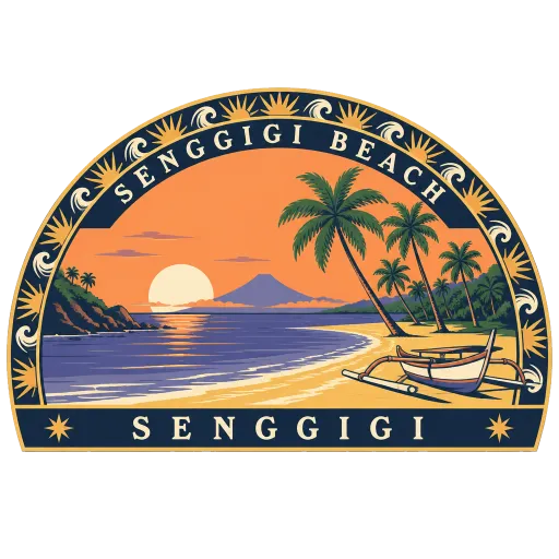
Senggigi Beach 170 km
Lombok's original beach resort strip, stretching several kilometres along the west coast just north of Mataram. It looks across the Lombok Strait towards Bali, with sunsets behind Mount Agung on clear evenings.
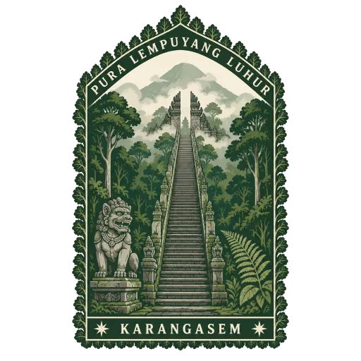
Pura Lempuyang Luhur 214 km
The seventh and highest of the temples on Mount Lempuyang in east Bali, reached by a long climb of steps through forest past the lower temples of the complex. It is counted among the six holiest sanctuaries on the island.
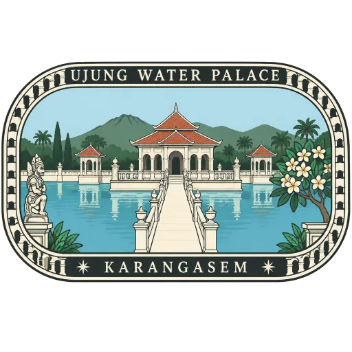
Ujung Water Palace 214 km
A former palace of the Karangasem kings on Bali's east coast, laid out around large ornamental pools crossed by bridges. In Dutch colonial times it was simply called the Waterpaleis, and today it also goes by Ujung Park or Sukasada Park.
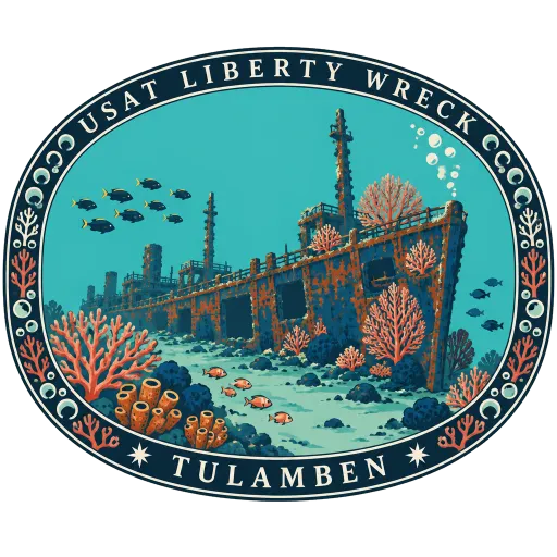
USAT Liberty Wreck 217 km
A United States Army cargo ship that was beached at Tulamben in 1942 and now lies in shallow water just off the stony shore. Its hull, covered in coral and fish, is a wreck that divers and snorkellers can reach straight from the beach.
More hidden gems in West Nusa Tenggara
Questions
Where is Moyo Island?
Moyo Island is in Sumbawa Besar, West Nusa Tenggara, Indonesia. The nearest other LOQAH stamps are Mount Tambora (47 km), Mount Rinjani (123 km), Pura Lingsar (157 km).
How do I get the Moyo Island stamp?
Open LOQAH when you are at Moyo Island and get its stamp. The app checks where you are once, at that moment, and the stamp goes into your West Nusa Tenggara volume, confirmed on site, with the date.
I have been to Moyo Island before. Can I still have the stamp?
Yes. Add it from Earlier trips in your West Nusa Tenggara volume, with the date if you know it, or import your Google Timeline and LOQAH matches the places you were.
Collect your first stamp.
LOQAH is free on iPhone and Android, in India and 20 more countries, with more countries on the way. Stand at a place, collect its stamp, and keep every trip in a passport that grows.