

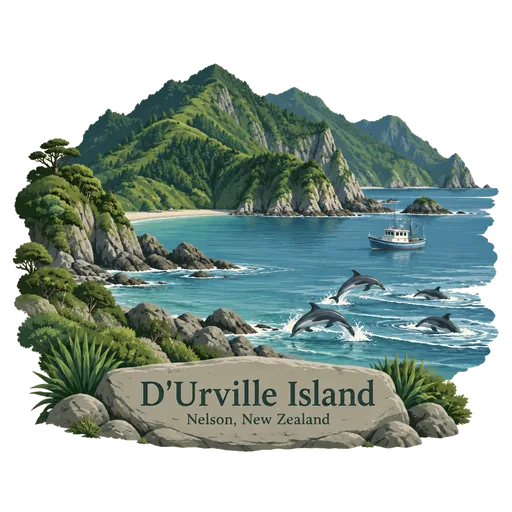
D'Urville Island
The largest island in the Marlborough Sounds, with its Maori name of Rangitoto ki te Tonga. It is sparsely settled and lies across the dangerous French Pass, which the French explorer Dumont d'Urville navigated in 1827.
- Where
- Nelson, Marlborough, New Zealand
- Grade
- Local gem
- Worth
- 10 points collected on site
- Coordinates
- -40.8333, 173.8667
Get the D'Urville Island stamp
Open LOQAH when you are at D'Urville Island. It checks where you are once, at that moment, and the stamp is yours: confirmed on site in gold and struck with the date. It goes into your Marlborough volume with your photos and a note.
Near D'Urville Island
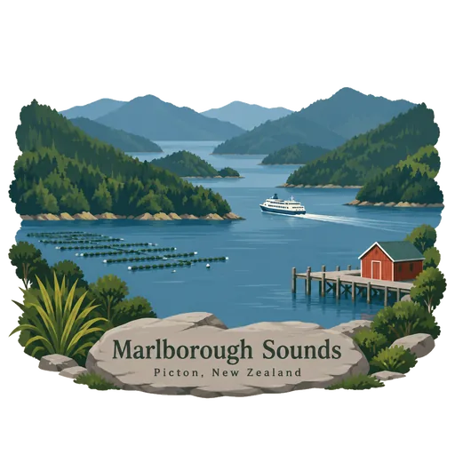
Marlborough Sounds 39 km
A maze of sea drowned valleys at the northern tip of the South Island, with some 1,500 kilometres of coastline. Queen Charlotte Sound and Pelorus Sound are the best known, and the Queen Charlotte Track follows the ridge between bays.
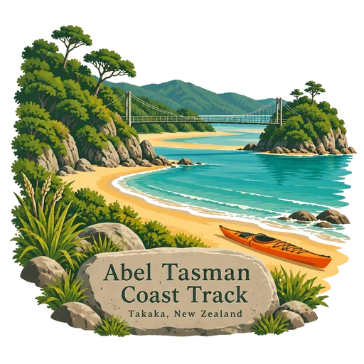
Abel Tasman Coast Track 70 km
A 60 kilometre walking track within Abel Tasman National Park, running from Mārahau in the south to Wainui in the north. It follows golden beaches and forested headlands, with many side tracks and huts and campsites along the way.
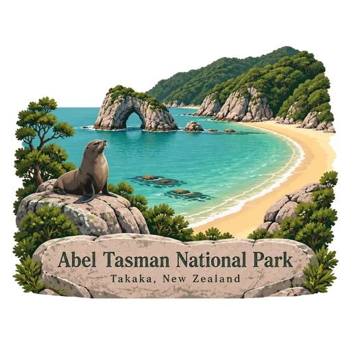
Abel Tasman National Park 76 km
A national park at the north end of the South Island, covering 237 square kilometres between Golden Bay and Tasman Bay. It is the smallest of New Zealand's national parks, known for golden sand beaches, sheltered coves and forest running down to the sea.
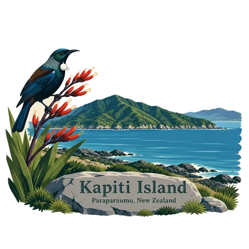
Kapiti Island 88 km
A nature reserve island five kilometres off the Kapiti Coast, once a base for the Maori chief Te Rauparaha. Strict biosecurity allows rare birds such as kiwi, takahe and kokako to live free of predators, and visitors need a permit.
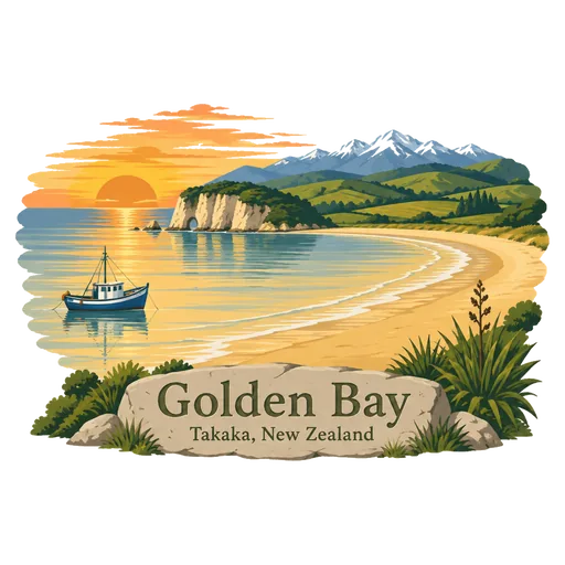
Golden Bay 89 km
A wide bay at the north west end of the South Island, also called Mohua. Abel Tasman first anchored here in 1642, and it has Wharariki Beach, Te Waikoropupu Springs and the end of the Heaphy Track.
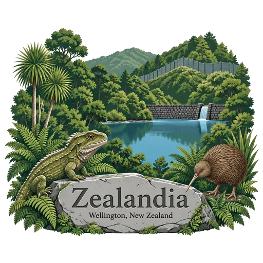
Zealandia 90 km
A fenced urban ecosanctuary of 225 hectares in a valley above Wellington, formerly the Karori Wildlife Sanctuary. Native forest is being restored inside the predator proof fence, and rare birds such as kiwi, takahē and tuatara live and breed there.
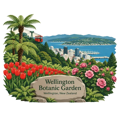
Wellington Botanic Garden 90 km
A botanical garden of 25 hectares in a valley between Thorndon and Kelburn, close to central Wellington. It can be entered from the top of the cable car, and includes the Lady Norwood Rose Garden and areas of native bush.
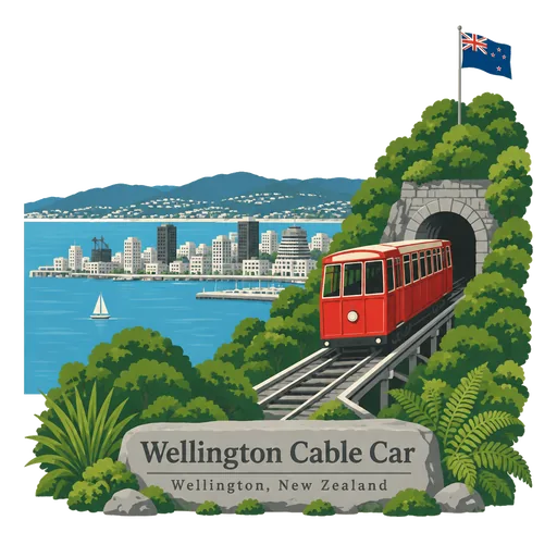
Wellington Cable Car 91 km
A funicular railway running between Lambton Quay, the main shopping street, and Kelburn, a suburb in the hills above the city. It opened in 1902, and the top station gives views over Wellington Harbour and sits beside the Botanic Garden.
More hidden gems in Marlborough
Questions
Where is D'Urville Island?
D'Urville Island is in Nelson, Marlborough, New Zealand. The nearest other LOQAH stamps are Marlborough Sounds (39 km), Abel Tasman Coast Track (70 km), Abel Tasman National Park (76 km).
How do I get the D'Urville Island stamp?
Open LOQAH when you are at D'Urville Island and get its stamp. The app checks where you are once, at that moment, and the stamp goes into your Marlborough volume, confirmed on site, with the date.
I have been to D'Urville Island before. Can I still have the stamp?
Yes. Add it from Earlier trips in your Marlborough volume, with the date if you know it, or import your Google Timeline and LOQAH matches the places you were.
Collect your first stamp.
LOQAH is free on iPhone and Android, in India and 40 more countries, with more countries on the way. Stand at a place, collect its stamp, and keep every trip in a passport that grows.