

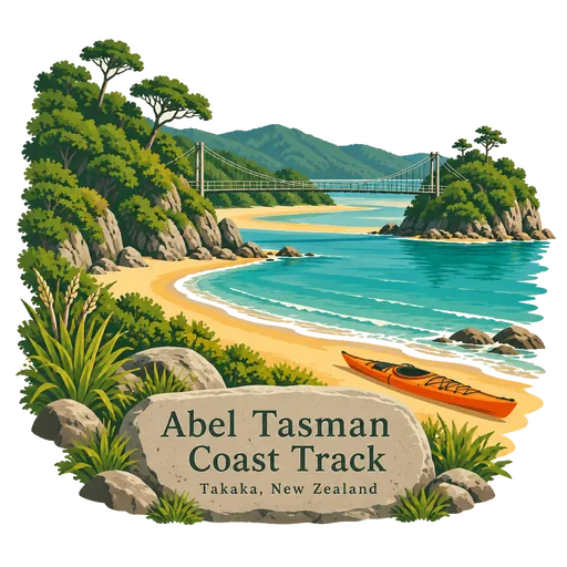
Abel Tasman Coast Track
A 60 kilometre walking track within Abel Tasman National Park, running from Mārahau in the south to Wainui in the north. It follows golden beaches and forested headlands, with many side tracks and huts and campsites along the way.
- Where
- Takaka, Tasman, New Zealand
- Grade
- Local gem
- Worth
- 10 points collected on site
- Coordinates
- -40.9288, 173.0486
Get the Abel Tasman Coast Track stamp
Open LOQAH when you are at Abel Tasman Coast Track. It checks where you are once, at that moment, and the stamp is yours: confirmed on site in gold and struck with the date. It goes into your Tasman volume with your photos and a note.
Near Abel Tasman Coast Track
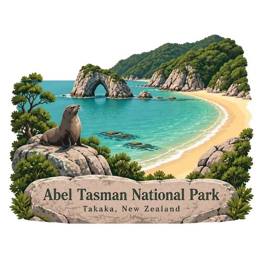
Abel Tasman National Park 7.2 km
A national park at the north end of the South Island, covering 237 square kilometres between Golden Bay and Tasman Bay. It is the smallest of New Zealand's national parks, known for golden sand beaches, sheltered coves and forest running down to the sea.
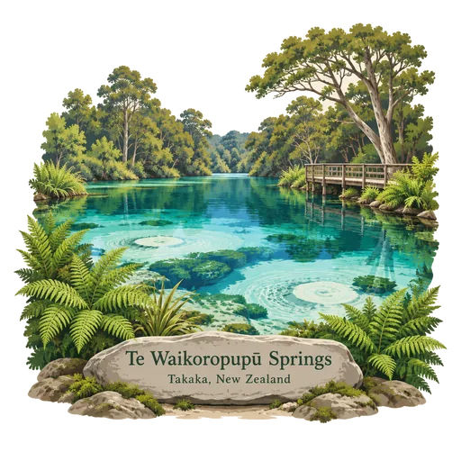
Te Waikoropupū Springs 25 km
Freshwater springs near Takaka in Golden Bay, also called Pupu Springs. They are known for exceptionally clear water and for the large volume that rises from the ground, and a short bush walk with boardwalks leads to the main pool.
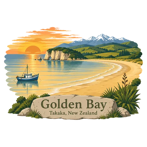
Golden Bay 34 km
A wide bay at the north west end of the South Island, also called Mohua. Abel Tasman first anchored here in 1642, and it has Wharariki Beach, Te Waikoropupu Springs and the end of the Heaphy Track.
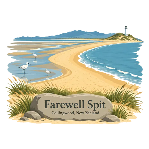
Farewell Spit 48 km
A narrow sand spit running about 25 kilometres out from the top of the South Island, with high dunes and a huge tidal flat. It is a bird sanctuary that attracts waders, and Captain Cook named it in 1770.
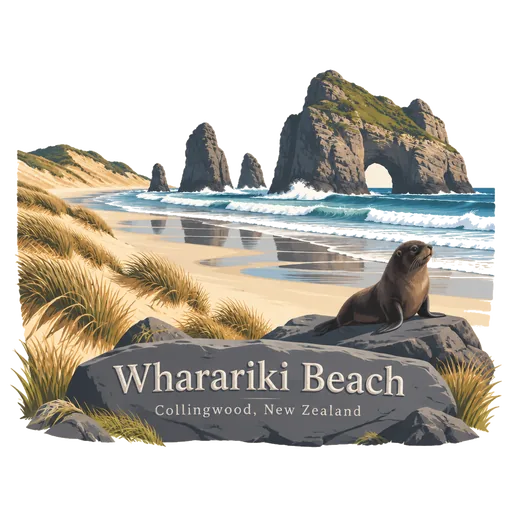
Wharariki Beach 57 km
A wild beach on the Tasman Sea, west of Cape Farewell at the northern tip of the South Island. Tall sand dunes back the shore, offshore rock islands stand in the surf, and fur seals breed among the rocks.
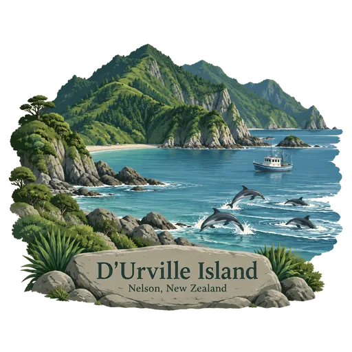
D'Urville Island 70 km
The largest island in the Marlborough Sounds, with its Maori name of Rangitoto ki te Tonga. It is sparsely settled and lies across the dangerous French Pass, which the French explorer Dumont d'Urville navigated in 1827.
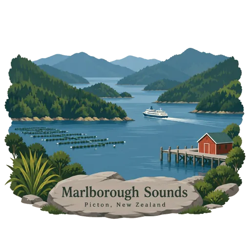
Marlborough Sounds 90 km
A maze of sea drowned valleys at the northern tip of the South Island, with some 1,500 kilometres of coastline. Queen Charlotte Sound and Pelorus Sound are the best known, and the Queen Charlotte Track follows the ridge between bays.
Zealandia 148 km
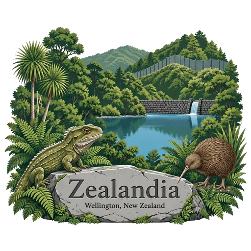
A fenced urban ecosanctuary of 225 hectares in a valley above Wellington, formerly the Karori Wildlife Sanctuary. Native forest is being restored inside the predator proof fence, and rare birds such as kiwi, takahē and tuatara live and breed there.
More hidden gems in Tasman
Questions
Where is Abel Tasman Coast Track?
Abel Tasman Coast Track is in Takaka, Tasman, New Zealand. The nearest other LOQAH stamps are Abel Tasman National Park (7.2 km), Te Waikoropupū Springs (25 km), Golden Bay (34 km).
How do I get the Abel Tasman Coast Track stamp?
Open LOQAH when you are at Abel Tasman Coast Track and get its stamp. The app checks where you are once, at that moment, and the stamp goes into your Tasman volume, confirmed on site, with the date.
I have been to Abel Tasman Coast Track before. Can I still have the stamp?
Yes. Add it from Earlier trips in your Tasman volume, with the date if you know it, or import your Google Timeline and LOQAH matches the places you were.
Collect your first stamp.
LOQAH is free on iPhone and Android, in India and 40 more countries, with more countries on the way. Stand at a place, collect its stamp, and keep every trip in a passport that grows.