

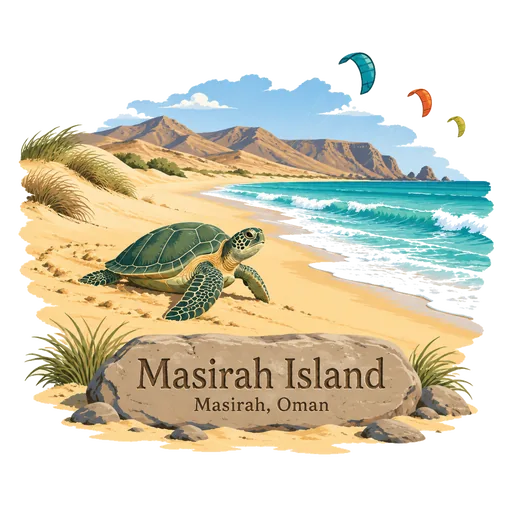
Masirah Island
The largest island in Oman, lying off the east coast in the Arabian Sea and about 95 kilometres long. Its long beaches are a major nesting ground for loggerhead turtles, and strong seasonal winds make it a known spot for kitesurfing.
- Where
- Masirah, South Ash Sharqiyah, Oman
- Grade
- Well known
- Worth
- 10 points collected on site, plus 1 for its grade
- Coordinates
- 20.4711, 58.8153
Get the Masirah Island stamp
Open LOQAH when you are at Masirah Island. It checks where you are once, at that moment, and the stamp is yours: confirmed on site in gold and struck with the date. It goes into your South Ash Sharqiyah volume with your photos and a note.
Near Masirah Island
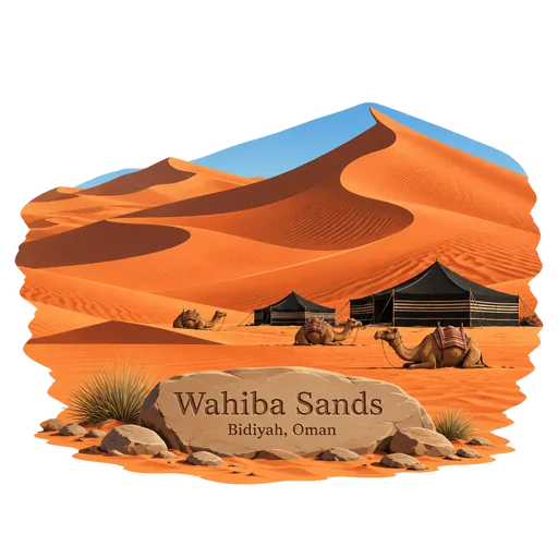
Wahiba Sands 170 km
A sea of red and orange dunes in eastern Oman, named after the Bani Wahiba tribe. It measures roughly 180 kilometres from north to south, and tourist camps and Bedouin households lie among its dunes.
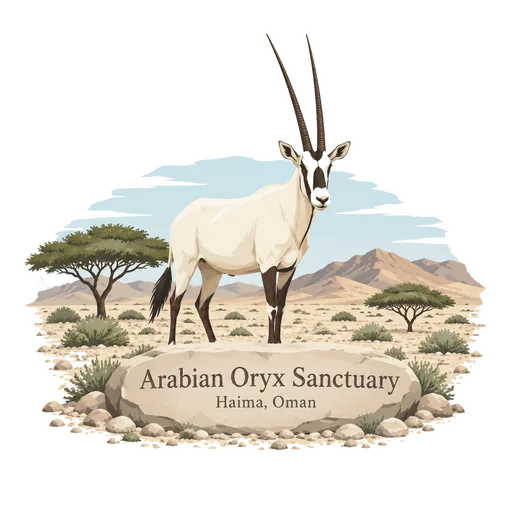
Arabian Oryx Sanctuary 208 km
A desert and coastal hill reserve in central Oman, set up to bring back the Arabian oryx after it was hunted out of the wild. Now called Al Wusta Wildlife Reserve, it was an early natural site in Oman to enter the UNESCO list.
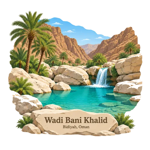
Wadi Bani Khalid 239 km
A wadi in eastern Oman with turquoise pools and large boulders, fed by a spring that runs all year. It lies on the way to the Wahiba Sands and is a popular place to swim and walk.
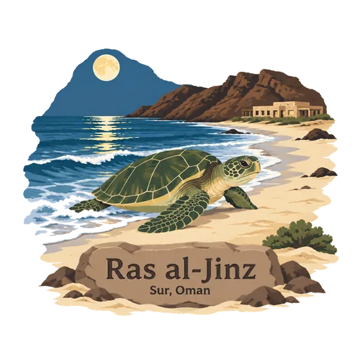
Ras al-Jinz 242 km
The easternmost point of the Arabian Peninsula, in Ash Sharqiyah South Governorate. Its beach is one of the main nesting sites of the green turtle, and a reserve with a visitor centre runs guided night walks to watch females come ashore to lay eggs.
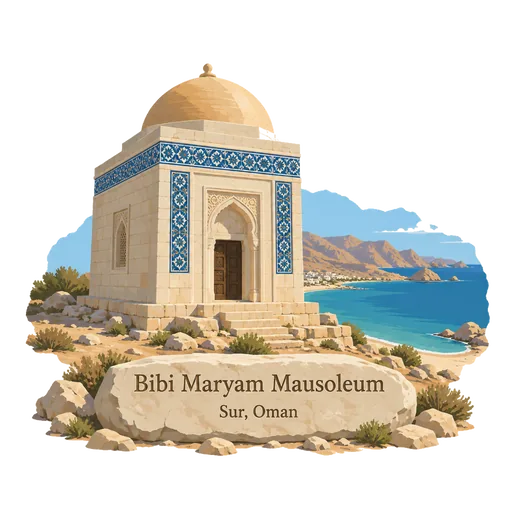
Bibi Maryam Mausoleum 254 km
An early 14th century tomb in the ancient port of Qalhat, near Sur. It is the only fully surviving building of the old city, and its tiled decoration and carved doorway show the city's links with Persian Gulf trade.
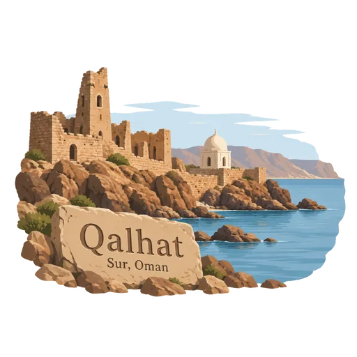
Qalhat 254 km
The ruins of a medieval port city on the coast north of Sur. It was a major trading centre for Hormuz and the Indian Ocean, and its best known surviving building is the tomb of Bibi Maryam.
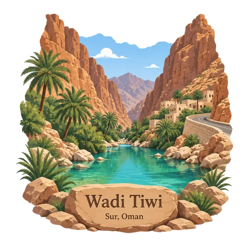
Wadi Tiwi 266 km
A narrow canyon about 40 kilometres north of Sur, in the Ash Sharqiyah region, where the Hajar Mountains reach the sea. A road runs between steep cliffs, with villages, date palms and green pools along the stream bed.
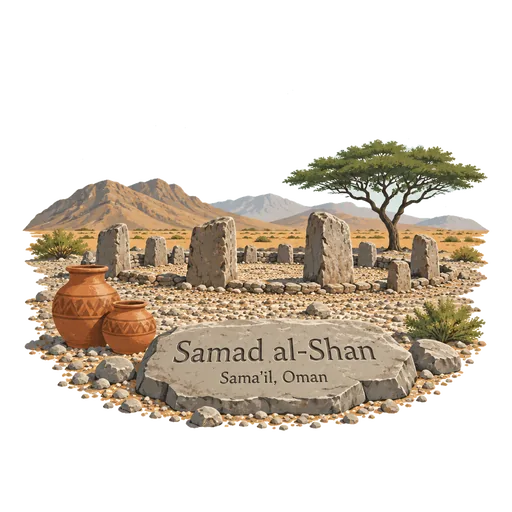
Samad al-Shan 269 km
An archaeological site in the Sharqiyah region where remains of the Late Iron Age were first identified. The period is now called Samad, after the site, and finds include tombs and pottery.
Questions
Where is Masirah Island?
Masirah Island is in Masirah, South Ash Sharqiyah, Oman. The nearest other LOQAH stamps are Wahiba Sands (170 km), Arabian Oryx Sanctuary (208 km), Wadi Bani Khalid (239 km).
How do I get the Masirah Island stamp?
Open LOQAH when you are at Masirah Island and get its stamp. The app checks where you are once, at that moment, and the stamp goes into your South Ash Sharqiyah volume, confirmed on site, with the date.
I have been to Masirah Island before. Can I still have the stamp?
Yes. Add it from Earlier trips in your South Ash Sharqiyah volume, with the date if you know it, or import your Google Timeline and LOQAH matches the places you were.
Collect your first stamp.
LOQAH is free on iPhone and Android, in India and 40 more countries, with more countries on the way. Stand at a place, collect its stamp, and keep every trip in a passport that grows.