

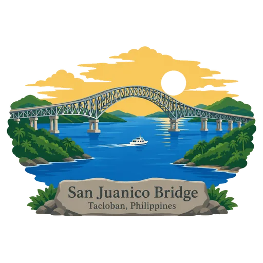
San Juanico Bridge
A long steel truss bridge across the San Juanico Strait that links the islands of Samar and Leyte, part of the Pan Philippine Highway. It was opened in 1973 and measures about 2.2 kilometres, making it the longest bridge over seawater in the country.
- Where
- Tacloban, Eastern Visayas, Philippines
- Grade
- Well known
- Worth
- 10 points collected on site, plus 1 for its grade
- Coordinates
- 11.3028, 124.9719
Get the San Juanico Bridge stamp
Open LOQAH when you are at San Juanico Bridge. It checks where you are once, at that moment, and the stamp is yours: confirmed on site in gold and struck with the date. It goes into your Eastern Visayas volume with your photos and a note.
Near San Juanico Bridge
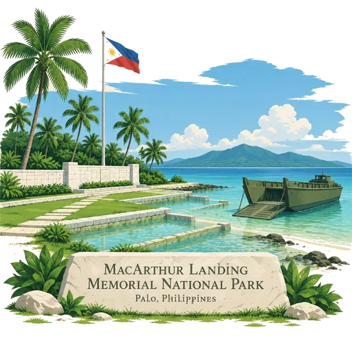
MacArthur Landing Memorial National Park 15 km
A protected park at Palo, Leyte, commemorating General Douglas MacArthur's landing in Leyte Gulf at the start of the campaign to retake the Philippines from Japan in October 1944. Large statues of the landing party stand in a shallow pool.
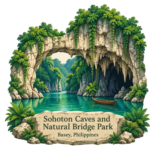
Sohoton Caves and Natural Bridge Park 21 km
A protected area of about 841 hectares inside the Samar Island Natural Park. It has caves, underground rivers, waterfalls, limestone formations and thick forest, and a natural rock bridge gives the park its name.
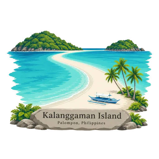
Kalanggaman Island 81 km
A sandbar island in the sea between Leyte and Cebu, 10 kilometres west of Palompon, Leyte. Its name comes from the local word for bird, and its long white spit of sand stretches out on both ends.
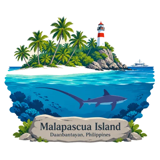
Malapascua Island 93 km
A small island off the northern tip of Cebu, about 2.5 kilometres long. It is known for diving at Monad Shoal, where thresher sharks can be seen at dawn, and for its quiet white sand beach on the south side.
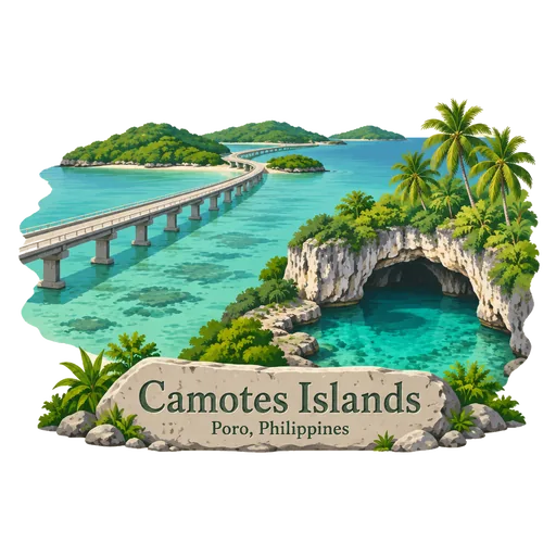
Camotes Islands 94 km
A group of islands in the Camotes Sea, east of Cebu, reached by ferry from Cebu or Leyte. They have white beaches, limestone caves and freshwater lagoons such as Lake Danao. The islands are quieter than the main tourist spots of the Visayas.
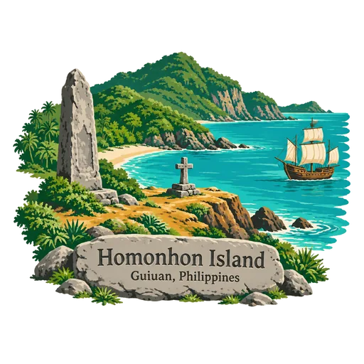
Homonhon Island 103 km
An island at the mouth of Leyte Gulf, in Eastern Samar, where Ferdinand Magellan's fleet first landed in the Philippines in March 1521. Beaches, caves and waterfalls make it a quiet stop, and a marker commemorates the landing.
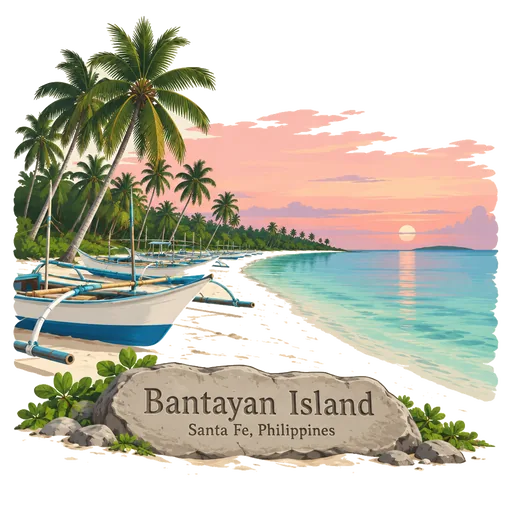
Bantayan Island 136 km
A flat island in the Visayan Sea, off the north western tip of Cebu, with long white sand beaches near Santa Fe. Fishing is the main trade, and the island is known for dried fish. Its old church in Bantayan town dates to the Spanish period.
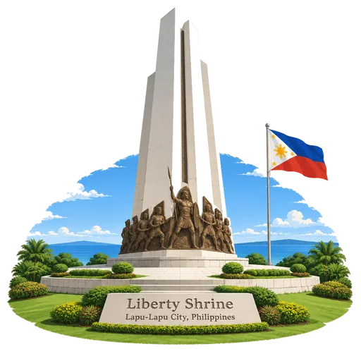
Liberty Shrine 152 km
A memorial park on Mactan Island, also called the Mactan Shrine. It hosts two monuments, one to Ferdinand Magellan and one to the chieftain Lapulapu, who fought his forces here in 1521.
Questions
Where is San Juanico Bridge?
San Juanico Bridge is in Tacloban, Eastern Visayas, Philippines. The nearest other LOQAH stamps are MacArthur Landing Memorial National Park (15 km), Sohoton Caves and Natural Bridge Park (21 km), Kalanggaman Island (81 km).
How do I get the San Juanico Bridge stamp?
Open LOQAH when you are at San Juanico Bridge and get its stamp. The app checks where you are once, at that moment, and the stamp goes into your Eastern Visayas volume, confirmed on site, with the date.
I have been to San Juanico Bridge before. Can I still have the stamp?
Yes. Add it from Earlier trips in your Eastern Visayas volume, with the date if you know it, or import your Google Timeline and LOQAH matches the places you were.
Collect your first stamp.
LOQAH is free on iPhone and Android, in India and 40 more countries, with more countries on the way. Stand at a place, collect its stamp, and keep every trip in a passport that grows.